8210 Bar x Rd Colorado Springs, CO 80908
Estimated Value: $1,219,000 - $1,832,000
7
Beds
5
Baths
3,160
Sq Ft
$483/Sq Ft
Est. Value
About This Home
This home is located at 8210 Bar x Rd, Colorado Springs, CO 80908 and is currently estimated at $1,525,500, approximately $482 per square foot. 8210 Bar x Rd is a home with nearby schools including Ray E Kilmer Elementary School, Lewis-Palmer Middle School, and Lewis-Palmer High School.
Ownership History
Date
Name
Owned For
Owner Type
Purchase Details
Closed on
Apr 11, 2018
Sold by
Leann John Stanley R and Leann John
Bought by
John Family Trust
Current Estimated Value
Purchase Details
Closed on
Mar 22, 1999
Sold by
Brundage Donald J and Brundage Sheryl L
Bought by
Brundage Vivian S and Brundage Donald J
Purchase Details
Closed on
Jan 22, 1999
Sold by
Fbl Inc
Bought by
Brundage Donald J and Brundage Sheryl L
Purchase Details
Closed on
Mar 24, 1995
Sold by
Leann John Stanley R and Leann John
Bought by
Leann John Stanley R and Leann John
Purchase Details
Closed on
Aug 5, 1993
Bought by
Leann John Stanley R and Leann John
Create a Home Valuation Report for This Property
The Home Valuation Report is an in-depth analysis detailing your home's value as well as a comparison with similar homes in the area
Home Values in the Area
Average Home Value in this Area
Purchase History
| Date | Buyer | Sale Price | Title Company |
|---|---|---|---|
| John Family Trust | -- | None Available | |
| Brundage Vivian S | -- | -- | |
| Brundage Donald J | $243,000 | Stewart Title | |
| Fbl Inc | -- | Stewart Title | |
| Leann John Stanley R | -- | -- | |
| Leann John Stanley R | $130,200 | -- |
Source: Public Records
Tax History Compared to Growth
Tax History
| Year | Tax Paid | Tax Assessment Tax Assessment Total Assessment is a certain percentage of the fair market value that is determined by local assessors to be the total taxable value of land and additions on the property. | Land | Improvement |
|---|---|---|---|---|
| 2025 | $4,367 | $90,100 | -- | -- |
| 2024 | $4,367 | $73,750 | $30,830 | $42,920 |
| 2023 | $3,834 | $73,750 | $30,830 | $42,920 |
| 2022 | $2,873 | $52,040 | $22,940 | $29,100 |
| 2021 | $2,993 | $53,540 | $23,600 | $29,940 |
| 2020 | $2,986 | $44,280 | $19,670 | $24,610 |
| 2019 | $2,970 | $44,280 | $19,670 | $24,610 |
| 2018 | $2,695 | $37,950 | $16,560 | $21,390 |
| 2017 | $2,468 | $37,950 | $16,560 | $21,390 |
| 2016 | $2,468 | $36,890 | $16,320 | $20,570 |
| 2015 | $2,466 | $36,890 | $16,320 | $20,570 |
| 2014 | $2,585 | $36,890 | $15,520 | $21,370 |
Source: Public Records
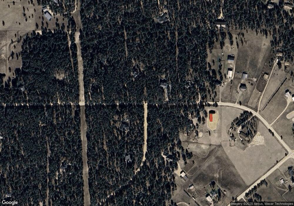
Map
Nearby Homes
- 7416 Crow Ct
- Lot G Hodgen Rd
- Lot D Hodgen Rd
- 16715 Papago Way
- 16815 Papago Way
- 16560 Papago Way
- 8310 Windfall Way
- 16810 Papago Way
- 16256 Ridge Run Dr
- 8360 Wranglers Way
- Lot 3 Alpaca Heights Unit 3
- Lot 2 Alpaca Heights Unit 2
- Lot 3 Alpaca Heights
- Lot 2 Alpaca Heights
- 9787 Owl Perch Loop
- 9755 Owl Perch Loop
- 11809 Flap Jack Ln
- 16811 Early Light Dr
- 8870 Elk Antler Ln
- 10139 Owl Perch Loop
- 17005 Herring Rd
- 17035 Herring Rd
- 7950 Wilderness Dr
- 17065 Herring Rd
- 17095 Herring Rd
- 8050 Wilderness Dr
- 16945 Herring Rd
- 7850 Wilderness Dr
- 17125 Herring Rd
- 16610 Bar x Rd
- 7955 Wilderness Dr Unit 3
- 8110 Wilderness Dr Unit 2
- 16970 Herring Rd
- 17070 Herring Rd
- 16915 Herring Rd
- 17155 Herring Rd
- 7855 Wilderness Dr
- 8105 Wilderness Dr
- 16850 Bar x Rd
- 8055 Wilderness Dr