8210 N Devonwood Ln Fair Grove, MO 65648
Estimated Value: $350,000 - $490,000
3
Beds
3
Baths
2,108
Sq Ft
$195/Sq Ft
Est. Value
About This Home
This home is located at 8210 N Devonwood Ln, Fair Grove, MO 65648 and is currently estimated at $410,019, approximately $194 per square foot. 8210 N Devonwood Ln is a home located in Greene County with nearby schools including Fair Grove Elementary School, Fair Grove Middle School, and Fair Grove High School.
Ownership History
Date
Name
Owned For
Owner Type
Purchase Details
Closed on
Aug 2, 2021
Sold by
Simmons Donald M and Simmons Kathleen
Bought by
Coonis Tyler and Coonis Sarah
Current Estimated Value
Home Financials for this Owner
Home Financials are based on the most recent Mortgage that was taken out on this home.
Original Mortgage
$215,000
Outstanding Balance
$195,589
Interest Rate
2.93%
Mortgage Type
New Conventional
Estimated Equity
$214,430
Purchase Details
Closed on
Mar 29, 2017
Sold by
Simmons Shelly L
Bought by
Simmons Donald M
Create a Home Valuation Report for This Property
The Home Valuation Report is an in-depth analysis detailing your home's value as well as a comparison with similar homes in the area
Home Values in the Area
Average Home Value in this Area
Purchase History
| Date | Buyer | Sale Price | Title Company |
|---|---|---|---|
| Coonis Tyler | -- | None Available | |
| Simmons Donald M | -- | None Available |
Source: Public Records
Mortgage History
| Date | Status | Borrower | Loan Amount |
|---|---|---|---|
| Open | Coonis Tyler | $215,000 |
Source: Public Records
Tax History Compared to Growth
Tax History
| Year | Tax Paid | Tax Assessment Tax Assessment Total Assessment is a certain percentage of the fair market value that is determined by local assessors to be the total taxable value of land and additions on the property. | Land | Improvement |
|---|---|---|---|---|
| 2025 | $1,870 | $41,270 | $8,890 | $32,380 |
| 2024 | $1,870 | $36,440 | $6,670 | $29,770 |
| 2023 | $1,863 | $36,440 | $6,670 | $29,770 |
| 2022 | $1,755 | $33,880 | $6,670 | $27,210 |
| 2021 | $1,748 | $33,880 | $6,670 | $27,210 |
| 2020 | $1,737 | $32,020 | $6,670 | $25,350 |
| 2019 | $1,730 | $32,020 | $6,670 | $25,350 |
| 2018 | $1,750 | $31,880 | $6,670 | $25,210 |
| 2017 | $1,748 | $31,750 | $6,670 | $25,080 |
| 2016 | $1,652 | $31,750 | $6,670 | $25,080 |
| 2015 | $1,652 | $31,750 | $6,670 | $25,080 |
| 2014 | $1,649 | $31,430 | $6,670 | $24,760 |
Source: Public Records
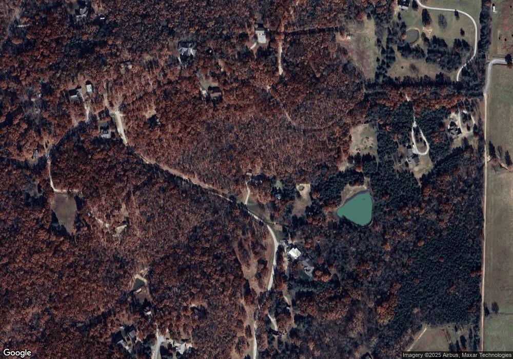
Map
Nearby Homes
- 8950 Eagle Prairie Rd
- 4822 E State Highway Kk
- 7268 N Farm Road 203
- 7607 N Angler Ln
- 7222 N Farm Road 203
- 7272 N Farm Road 191
- 3676 E Ponderosa Ln
- 3725 E Shelby Rd
- 3875 E Dehaven Ln
- Tbd N Farm Road 181
- 617 S Magen St
- 8133 N Hummingbird Ln
- 000 E Farm Road 68 Unit Parcel 3
- 4011 E Farm Road 34
- 271 S Meadowlark St
- Tbd E Saddle Club Rd
- 000 E Farm Road 50
- 7211 E Farm Road 68
- 7754 N State Highway 125
- Tract 2 N State Highway 215
- 8168 N Devonwood Ln
- 5150 E Farm Road 52
- 5082 E Farm Road 52
- 4996 E Farm Road 52
- 8052 N Devonwood Ln
- 5330 E Farm Road 52
- 5253 E Farm Rd 52
- 8291 N Devonwood Ln
- 8055 N Ashford Ln
- 5079 E Farm Road 52
- 8038 N Ashford Ln
- 5388 E Farm Road 52
- 8035 N Ashford Ln
- 8047 Cami Ln
- 5225 Calbert Ln
- 5167 E Farm Road 52
- 8020 N Ashford Ln
- 5389 E Farm Road 52
- 8350 N Farm Road 197
- 8090 N Cami Ln