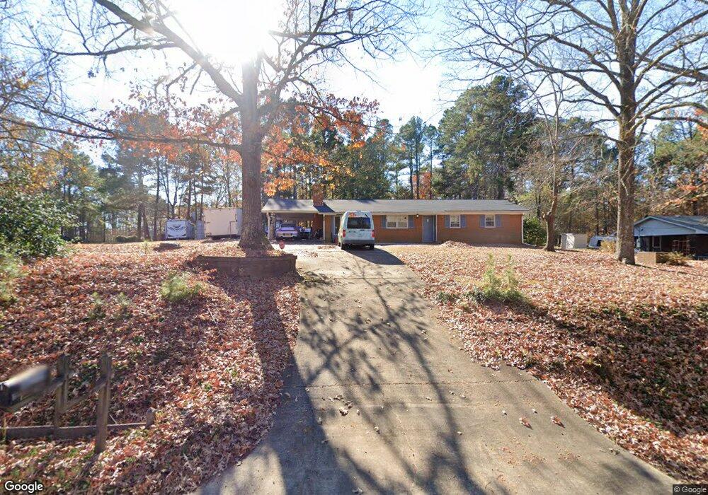
8210 Wake Rd Durham, NC 27713
South Durham NeighborhoodEstimated Value: $330,008 - $439,000
3
Beds
2
Baths
1,180
Sq Ft
$323/Sq Ft
Est. Value
About This Home
This home is located at 8210 Wake Rd, Durham, NC 27713 and is currently estimated at $381,002, approximately $322 per square foot. 8210 Wake Rd is a home located in Chatham County with nearby schools including North Chatham Elementary School, Margaret B. Pollard Middle School, and Kestrel Heights School.
Ownership History
Date
Name
Owned For
Owner Type
Purchase Details
Closed on
Oct 4, 2017
Sold by
Burkett Tamara
Bought by
Cataldo Giuseppe L
Current Estimated Value
Home Financials for this Owner
Home Financials are based on the most recent Mortgage that was taken out on this home.
Original Mortgage
$156,000
Outstanding Balance
$84,017
Interest Rate
3.86%
Mortgage Type
New Conventional
Estimated Equity
$296,985
Purchase Details
Closed on
May 21, 2008
Sold by
Johnson Joanne
Bought by
Burkett Tamara
Home Financials for this Owner
Home Financials are based on the most recent Mortgage that was taken out on this home.
Original Mortgage
$114,800
Interest Rate
6%
Mortgage Type
Purchase Money Mortgage
Create a Home Valuation Report for This Property
The Home Valuation Report is an in-depth analysis detailing your home's value as well as a comparison with similar homes in the area
Home Values in the Area
Average Home Value in this Area
Purchase History
| Date | Buyer | Sale Price | Title Company |
|---|---|---|---|
| Cataldo Giuseppe L | $195,000 | None Available | |
| Burkett Tamara | $143,500 | None Available |
Source: Public Records
Mortgage History
| Date | Status | Borrower | Loan Amount |
|---|---|---|---|
| Open | Cataldo Giuseppe L | $156,000 | |
| Previous Owner | Burkett Tamara | $114,800 |
Source: Public Records
Tax History
| Year | Tax Paid | Tax Assessment Tax Assessment Total Assessment is a certain percentage of the fair market value that is determined by local assessors to be the total taxable value of land and additions on the property. | Land | Improvement |
|---|---|---|---|---|
| 2025 | $2,155 | $291,954 | $94,380 | $197,574 |
| 2024 | $2,155 | $196,564 | $72,600 | $123,964 |
| 2023 | $1,778 | $196,564 | $72,600 | $123,964 |
| 2022 | $1,648 | $196,564 | $72,600 | $123,964 |
| 2021 | $1,648 | $196,564 | $72,600 | $123,964 |
| 2020 | $1,330 | $154,457 | $63,162 | $91,295 |
| 2019 | $1,330 | $154,457 | $63,162 | $91,295 |
| 2018 | $1,250 | $154,457 | $63,162 | $91,295 |
| 2017 | $1,206 | $154,457 | $63,162 | $91,295 |
| 2016 | $1,154 | $143,930 | $52,635 | $91,295 |
| 2015 | $1,152 | $143,930 | $52,635 | $91,295 |
| 2014 | -- | $143,930 | $52,635 | $91,295 |
| 2013 | -- | $143,930 | $52,635 | $91,295 |
Source: Public Records
Map
Nearby Homes
- 2005 Lambert Rd Unit 56
- 2007 Lambert Rd Unit 57
- 2009 Lambert Rd Unit 58
- 2011 Lambert Rd Unit 59
- 2013 Lambert Rd Unit 60
- 266 Perfect Moment Dr
- 1510 Haventree Rd
- 483 Rosemont Dr
- 8 Silverwood Ct
- 1056 Mountain Vista Ln
- 149 Perfect Moment Dr
- 508 Mountain Sunset Ln
- 469 Panorama View Loop
- 816 Clausun Dr
- 408 Panorama View Loop
- 4 Green Springs Ct
- 108 Pittard Sears Rd
- 1010 Queensbury Cir
- 715 Windy Peak Loop
- 38 Chatham Glen Dr
Your Personal Tour Guide
Ask me questions while you tour the home.