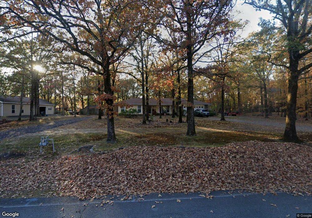
8211 Mark Ave Sherwood, AR 72120
Estimated Value: $191,000 - $228,000
--
Bed
2
Baths
1,681
Sq Ft
$122/Sq Ft
Est. Value
About This Home
This home is located at 8211 Mark Ave, Sherwood, AR 72120 and is currently estimated at $204,324, approximately $121 per square foot. 8211 Mark Ave is a home located in Pulaski County with nearby schools including Sylvan Hills Elementary School, Sylvan Hills Middle School, and Sylvan Hills High School.
Ownership History
Date
Name
Owned For
Owner Type
Purchase Details
Closed on
Jun 14, 2002
Sold by
Black Robert F and Black Barbara
Bought by
Mccall Richard A and Mccall Donna K
Current Estimated Value
Home Financials for this Owner
Home Financials are based on the most recent Mortgage that was taken out on this home.
Original Mortgage
$72,500
Outstanding Balance
$30,676
Interest Rate
6.82%
Estimated Equity
$173,648
Create a Home Valuation Report for This Property
The Home Valuation Report is an in-depth analysis detailing your home's value as well as a comparison with similar homes in the area
Home Values in the Area
Average Home Value in this Area
Purchase History
| Date | Buyer | Sale Price | Title Company |
|---|---|---|---|
| Mccall Richard A | $128,000 | Stewart Title |
Source: Public Records
Mortgage History
| Date | Status | Borrower | Loan Amount |
|---|---|---|---|
| Open | Mccall Richard A | $72,500 |
Source: Public Records
Tax History Compared to Growth
Tax History
| Year | Tax Paid | Tax Assessment Tax Assessment Total Assessment is a certain percentage of the fair market value that is determined by local assessors to be the total taxable value of land and additions on the property. | Land | Improvement |
|---|---|---|---|---|
| 2025 | $1,231 | $34,649 | $4,232 | $30,417 |
| 2024 | $1,231 | $34,649 | $4,232 | $30,417 |
| 2023 | $1,231 | $34,649 | $4,232 | $30,417 |
| 2022 | $1,418 | $34,649 | $4,232 | $30,417 |
| 2021 | $1,371 | $26,580 | $3,040 | $23,540 |
| 2020 | $989 | $26,580 | $3,040 | $23,540 |
| 2019 | $989 | $26,580 | $3,040 | $23,540 |
| 2018 | $1,014 | $26,580 | $3,040 | $23,540 |
| 2017 | $1,003 | $26,580 | $3,040 | $23,540 |
| 2016 | $1,003 | $25,760 | $2,760 | $23,000 |
| 2015 | $1,151 | $22,655 | $2,760 | $19,895 |
| 2014 | $1,151 | $20,775 | $2,760 | $18,015 |
Source: Public Records
Map
Nearby Homes
- 8222 Mark Ave
- 8100 Coleridge Dr
- 104 Mayfair Cove
- 2410 Crown Ct
- 7909 Coleridge Dr
- 7901 Coleridge Dr
- 2100 Covington Dr
- 8109 Oak Ridge Rd
- 4690 Hollyridge Cove
- 1901 Osceola Dr
- 1904 Osceola Dr
- 1808 Osceola Dr
- 1701 War Eagle Dr
- 7609 Flintrock Rd
- 7605 Toltec Dr
- 1617 Saratoga Dr
- 135 W Lee Ave
- 7303 Dakota Dr Unit 2
- 00 Highway 107
- 00 E Kiehl Ave
- 8205 Mark Ave
- 8215 Mark Ave
- 108 Brighton Ct
- 104 Brighton Ct
- 8308 Brighton Dr
- 8203 Mark Ave
- 8304 Brighton Dr
- 8210 Mark Ave
- 8212 Mark Ave
- 113 Brighton Ct
- 8312 Brighton Dr
- 8214 Mark Ave
- 100 Brighton Ct
- 8316 Brighton Dr
- 109 Brighton Ct
- 8219 Mark Ave
- 8206 Mark Ave
- 105 Brighton Ct
- 105 Brighton Cove
- 8305 Brighton Dr