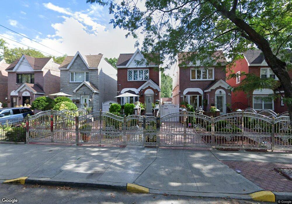
8212 133rd Ave Ozone Park, NY 11417
Ozone Park NeighborhoodEstimated Value: $783,000 - $801,000
3
Beds
3
Baths
1,280
Sq Ft
$618/Sq Ft
Est. Value
About This Home
This home is located at 8212 133rd Ave, Ozone Park, NY 11417 and is currently estimated at $790,841, approximately $617 per square foot. 8212 133rd Ave is a home located in Queens County with nearby schools including P.S. 63 - Old South, Robert H. Goddard High School, and Our World Neighborhood Charter School 2.
Ownership History
Date
Name
Owned For
Owner Type
Purchase Details
Closed on
Jan 19, 2021
Sold by
Perez Jorge and Perez Miguel
Bought by
Perez Miguel
Current Estimated Value
Purchase Details
Closed on
Nov 14, 2018
Sold by
Nunez Nancy and Nunez Pedro
Bought by
Perez Jorge and Perez Miguel
Home Financials for this Owner
Home Financials are based on the most recent Mortgage that was taken out on this home.
Original Mortgage
$509,250
Outstanding Balance
$448,689
Interest Rate
4.9%
Mortgage Type
Unknown
Estimated Equity
$342,152
Purchase Details
Closed on
Sep 24, 1999
Sold by
Robles Carlos
Bought by
Nunez Pedro and Nunez Nancy
Home Financials for this Owner
Home Financials are based on the most recent Mortgage that was taken out on this home.
Original Mortgage
$214,850
Interest Rate
7.78%
Mortgage Type
FHA
Create a Home Valuation Report for This Property
The Home Valuation Report is an in-depth analysis detailing your home's value as well as a comparison with similar homes in the area
Home Values in the Area
Average Home Value in this Area
Purchase History
| Date | Buyer | Sale Price | Title Company |
|---|---|---|---|
| Perez Miguel | -- | -- | |
| Perez Jorge | $679,000 | -- | |
| Nunez Pedro | $215,000 | Fidelity National Title Ins |
Source: Public Records
Mortgage History
| Date | Status | Borrower | Loan Amount |
|---|---|---|---|
| Open | Perez Jorge | $509,250 | |
| Previous Owner | Nunez Pedro | $214,850 |
Source: Public Records
Tax History Compared to Growth
Tax History
| Year | Tax Paid | Tax Assessment Tax Assessment Total Assessment is a certain percentage of the fair market value that is determined by local assessors to be the total taxable value of land and additions on the property. | Land | Improvement |
|---|---|---|---|---|
| 2025 | $6,677 | $35,236 | $10,545 | $24,691 |
| 2024 | $6,677 | $33,242 | $9,339 | $23,903 |
| 2023 | $6,569 | $32,704 | $9,137 | $23,567 |
| 2022 | $6,159 | $40,440 | $12,120 | $28,320 |
| 2021 | $6,493 | $35,520 | $12,120 | $23,400 |
| 2020 | $5,919 | $33,000 | $12,120 | $20,880 |
| 2019 | -- | $31,980 | $12,120 | $19,860 |
| 2018 | $5,258 | $27,253 | $11,916 | $15,337 |
| 2017 | $4,942 | $25,712 | $10,600 | $15,112 |
| 2016 | $4,830 | $25,712 | $10,600 | $15,112 |
Source: Public Records
Map
Nearby Homes
- 13236 82nd St
- 132-36 84th St
- 132-20 82nd St
- 84-11 Sutter Ave
- 133-42 86th St
- 8509 Sutter Ave
- 133-24 78th St
- 10714 80th St
- 84-28 108th Ave
- 108-04 86th St
- 133-155 77th St
- 84-09 107th Ave
- 10724 87th St
- 81-5 149th Ave
- 133- 38 Amber St
- 8210 149th Ave
- 132-18 89th St
- 8812 Albert Rd
- 84-11 106th Ave
- 8837 Pitkin Ave
- 8212 133rd Ave
- 8210 133rd Ave
- 8214 133rd Ave
- 31-15 133 Ave
- 8208 133rd Ave
- 8208 133rd Ave
- 8216 133rd Ave
- 8218 133rd Ave
- 133-16 83rd St
- 8220 133rd Ave
- 13316 83rd St
- 83-02 133rd Ave
- 8302 133rd Ave
- 82-07 133rd Ave
- 8209 133rd Ave
- 8211 133rd Ave
- 8215 133rd Ave
- 8207 133rd Ave
- 8213 133rd Ave
- 82-01 133rd Ave