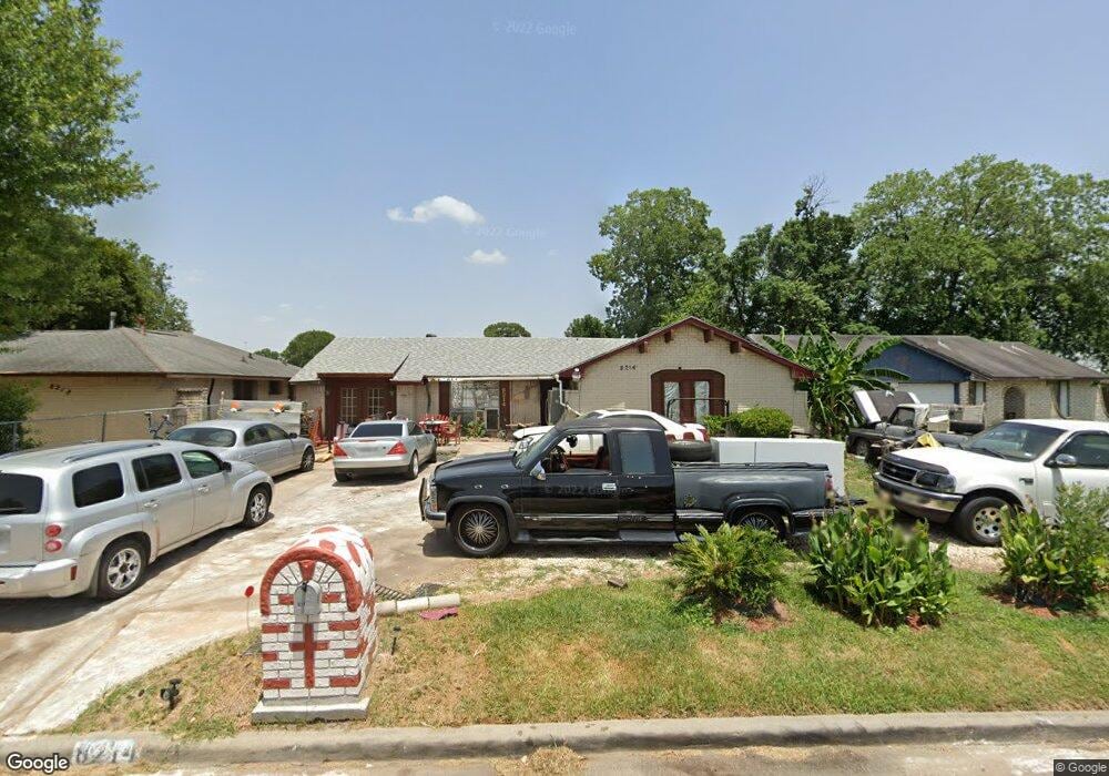
8214 Odet Ct Houston, TX 77088
Acres Homes NeighborhoodEstimated Value: $193,389 - $217,000
4
Beds
2
Baths
1,402
Sq Ft
$147/Sq Ft
Est. Value
About This Home
This home is located at 8214 Odet Ct, Houston, TX 77088 and is currently estimated at $205,847, approximately $146 per square foot. 8214 Odet Ct is a home located in Harris County with nearby schools including Osborne Elementary School, Williams Middle, and Booker T Washington Sr High.
Ownership History
Date
Name
Owned For
Owner Type
Purchase Details
Closed on
Sep 10, 2010
Sold by
Kirven Raelene
Bought by
Kirven Dean
Current Estimated Value
Purchase Details
Closed on
Apr 9, 2005
Sold by
Kirven Dean
Bought by
Kirven Raelene
Purchase Details
Closed on
Feb 17, 1995
Sold by
Kirven Barbara Nell
Bought by
Kirven Dean Edward and Kirven Raeleane Smith
Home Financials for this Owner
Home Financials are based on the most recent Mortgage that was taken out on this home.
Original Mortgage
$31,400
Interest Rate
7.62%
Create a Home Valuation Report for This Property
The Home Valuation Report is an in-depth analysis detailing your home's value as well as a comparison with similar homes in the area
Home Values in the Area
Average Home Value in this Area
Purchase History
| Date | Buyer | Sale Price | Title Company |
|---|---|---|---|
| Kirven Dean | -- | None Available | |
| Kirven Raelene | -- | -- | |
| Kirven Dean Edward | -- | -- |
Source: Public Records
Mortgage History
| Date | Status | Borrower | Loan Amount |
|---|---|---|---|
| Previous Owner | Kirven Dean Edward | $31,400 |
Source: Public Records
Tax History Compared to Growth
Tax History
| Year | Tax Paid | Tax Assessment Tax Assessment Total Assessment is a certain percentage of the fair market value that is determined by local assessors to be the total taxable value of land and additions on the property. | Land | Improvement |
|---|---|---|---|---|
| 2025 | $2,379 | $180,277 | $67,133 | $113,144 |
| 2024 | $2,379 | $168,158 | $67,133 | $101,025 |
| 2023 | $2,379 | $137,990 | $67,133 | $70,857 |
| 2022 | $2,364 | $136,139 | $51,876 | $84,263 |
| 2021 | $2,274 | $113,165 | $30,515 | $82,650 |
| 2020 | $2,148 | $102,361 | $27,464 | $74,897 |
| 2019 | $2,041 | $95,838 | $27,464 | $68,374 |
| 2018 | $168 | $73,320 | $13,732 | $59,588 |
| 2017 | $1,703 | $73,320 | $13,732 | $59,588 |
| 2016 | $1,549 | $73,320 | $13,732 | $59,588 |
| 2015 | $867 | $69,454 | $13,732 | $55,722 |
| 2014 | $867 | $50,615 | $13,732 | $36,883 |
Source: Public Records
Map
Nearby Homes
- 0 Marjorie
- 769 Marjorie St
- 854 Junell St
- 8602 De Priest St
- 8314 De Priest St
- 905 Ferguson Way
- 907 Ferguson Way
- 0 Marcolin St
- 8310 Williamsdell St
- 8320 Williamsdell St
- 8324 Williamsdell St
- 8322 Williamsdell St
- 765 Enterprise St Unit D
- 958 Conklin St
- 766 Fortune St
- 954A Junell St
- 0 Grenshaw
- 830 Ringold St
- 958 Ringold St
- 961 Ringold St