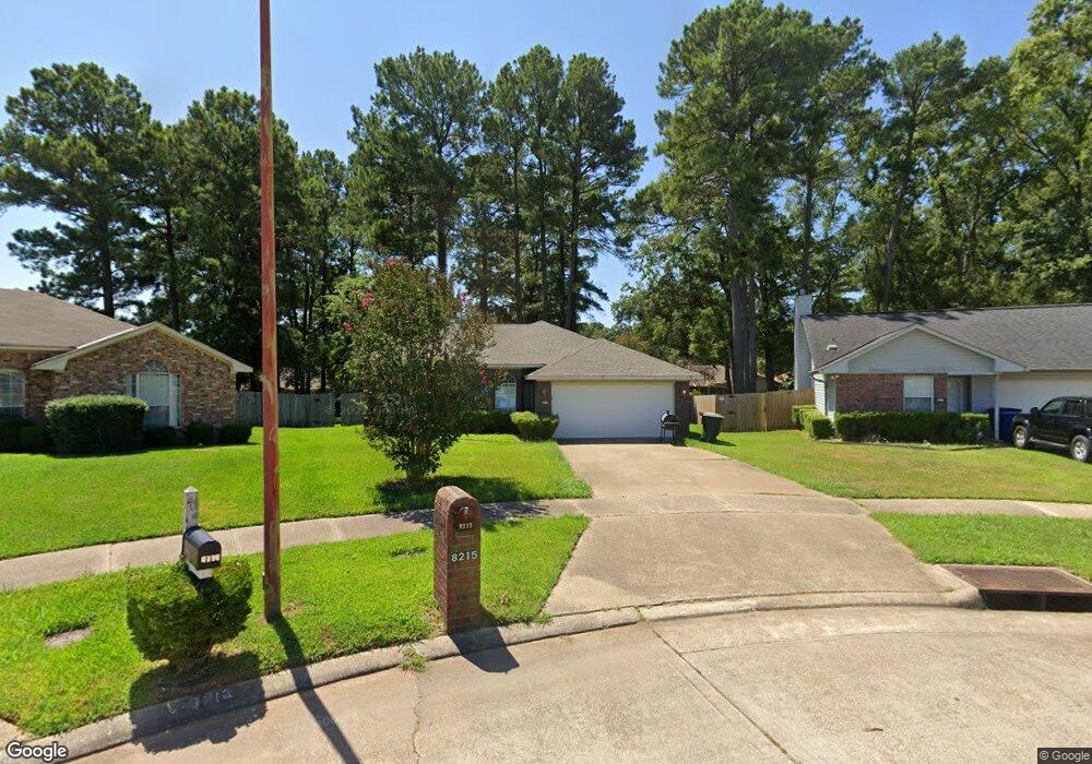
8215 Burning Tree Cir Shreveport, LA 71108
Hyde Park-Brookwood-Southern Hills NeighborhoodEstimated Value: $111,000 - $140,000
3
Beds
2
Baths
1,087
Sq Ft
$117/Sq Ft
Est. Value
About This Home
This home is located at 8215 Burning Tree Cir, Shreveport, LA 71108 and is currently estimated at $126,784, approximately $116 per square foot. 8215 Burning Tree Cir is a home located in Caddo Parish with nearby schools including Fairfield Magnet School, Judson Fundamental Elementary School, and Claiborne Fundamental Elementary School.
Ownership History
Date
Name
Owned For
Owner Type
Purchase Details
Closed on
May 21, 2007
Sold by
French Corey Denay and French Keisha L
Bought by
Williams Shelia Kaye Mccall
Current Estimated Value
Home Financials for this Owner
Home Financials are based on the most recent Mortgage that was taken out on this home.
Original Mortgage
$116,000
Outstanding Balance
$70,521
Interest Rate
6.16%
Mortgage Type
Unknown
Estimated Equity
$56,263
Create a Home Valuation Report for This Property
The Home Valuation Report is an in-depth analysis detailing your home's value as well as a comparison with similar homes in the area
Home Values in the Area
Average Home Value in this Area
Purchase History
| Date | Buyer | Sale Price | Title Company |
|---|---|---|---|
| Williams Shelia Kaye Mccall | $116,000 | First American Title Co Inc |
Source: Public Records
Mortgage History
| Date | Status | Borrower | Loan Amount |
|---|---|---|---|
| Open | Williams Shelia Kaye Mccall | $116,000 |
Source: Public Records
Tax History Compared to Growth
Tax History
| Year | Tax Paid | Tax Assessment Tax Assessment Total Assessment is a certain percentage of the fair market value that is determined by local assessors to be the total taxable value of land and additions on the property. | Land | Improvement |
|---|---|---|---|---|
| 2024 | $1,696 | $10,880 | $1,337 | $9,543 |
| 2023 | $1,587 | $9,959 | $1,273 | $8,686 |
| 2022 | $1,587 | $9,959 | $1,273 | $8,686 |
| 2021 | $1,563 | $9,959 | $1,273 | $8,686 |
| 2020 | $1,563 | $9,959 | $1,273 | $8,686 |
| 2019 | $1,557 | $9,629 | $1,273 | $8,356 |
| 2018 | $274 | $9,629 | $1,273 | $8,356 |
| 2017 | $1,582 | $9,629 | $1,273 | $8,356 |
| 2015 | $342 | $10,140 | $1,270 | $8,870 |
| 2014 | $345 | $10,140 | $1,270 | $8,870 |
| 2013 | -- | $10,140 | $1,270 | $8,870 |
Source: Public Records
Map
Nearby Homes
- 8321 Kingston Rd
- 745 Kingridge Place
- 742 Woodmont Place
- 725 Meadowdale Place
- 710 Kingridge Place
- 2092 Pinecroft Cir
- 2025 Amelia Ave
- 649 Woodmont Place
- 610 Meadowdale Place
- 636 Woodmont Place
- 8506 Westbrook Place
- 1619 Applewood Dr
- 8825 Coyth Ln
- 1838 Shady Ln
- 570 Sally Ann Dr
- 2301 Mccutcheon Ave
- 1729 S Reunion Dr
- 635 Browning St
- 716 Harrison St
- 513 Lynbrook Blvd
- 8217 Burning Tree Cir
- 8213 Burning Tree Cir
- 909 Chimney Rock Place
- 913 Chimney Rock Place
- 8211 Burning Tree Cir
- 8226 Green Leaf Ln
- 8219 Burning Tree Dr
- 8222 Green Leaf Ln
- 8223 Burning Tree Dr
- 8220 Green Leaf Ln
- 917 Chimney Rock Place
- 8230 Green Leaf Ln
- 8209 Burning Tree Cir
- 8227 Burning Tree Dr
- 8218 Green Leaf Ln
- 8207 Burning Tree Dr
- 8231 Burning Tree Dr
- 8216 Green Leaf Ln
- 8205 Burning Tree Dr
- 908 Chimney Rock Place