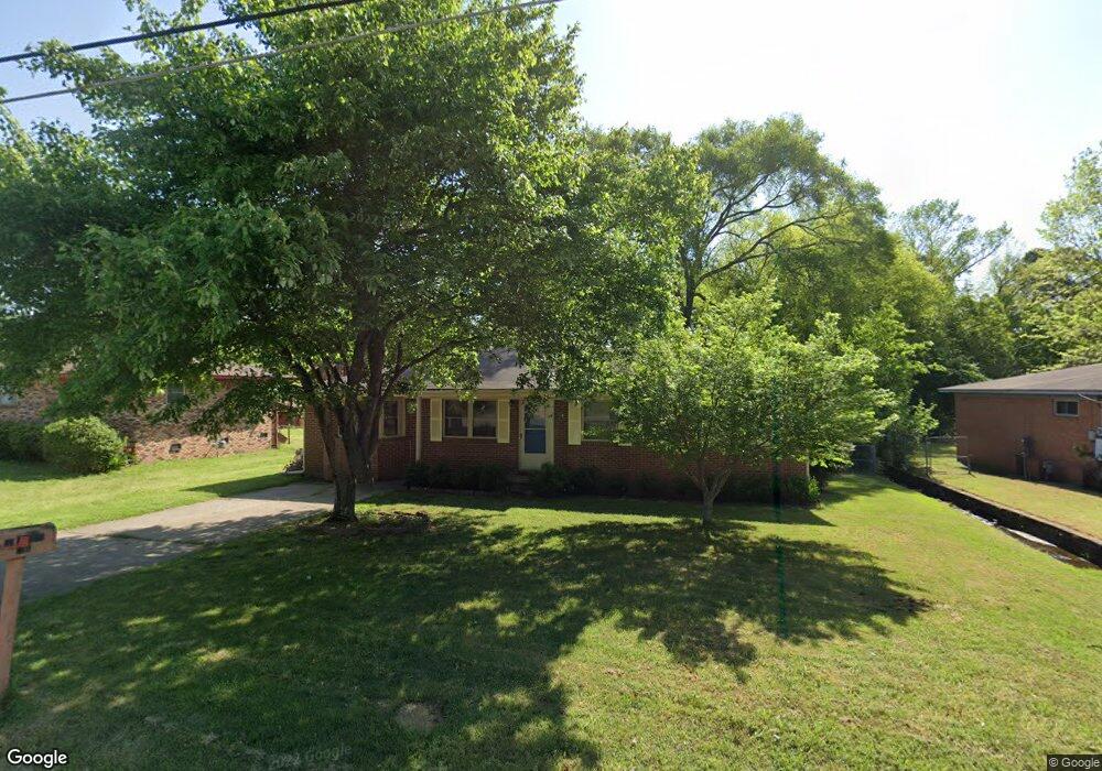
8216 Bronco Ln Sherwood, AR 72120
Estimated Value: $134,408 - $183,000
--
Bed
2
Baths
1,489
Sq Ft
$110/Sq Ft
Est. Value
About This Home
This home is located at 8216 Bronco Ln, Sherwood, AR 72120 and is currently estimated at $164,102, approximately $110 per square foot. 8216 Bronco Ln is a home located in Pulaski County with nearby schools including Sherwood Elementary School, Sylvan Hills Middle School, and Sylvan Hills High School.
Ownership History
Date
Name
Owned For
Owner Type
Purchase Details
Closed on
Oct 29, 2003
Sold by
Cerrato Guy Edward and Cerrato Joyce Y
Bought by
Thomas John David and Thomas Dianna Jane
Current Estimated Value
Home Financials for this Owner
Home Financials are based on the most recent Mortgage that was taken out on this home.
Original Mortgage
$91,808
Outstanding Balance
$42,018
Interest Rate
5.93%
Mortgage Type
VA
Estimated Equity
$122,084
Create a Home Valuation Report for This Property
The Home Valuation Report is an in-depth analysis detailing your home's value as well as a comparison with similar homes in the area
Home Values in the Area
Average Home Value in this Area
Purchase History
| Date | Buyer | Sale Price | Title Company |
|---|---|---|---|
| Thomas John David | $88,000 | American Abstract & Title Co |
Source: Public Records
Mortgage History
| Date | Status | Borrower | Loan Amount |
|---|---|---|---|
| Open | Thomas John David | $91,808 |
Source: Public Records
Tax History Compared to Growth
Tax History
| Year | Tax Paid | Tax Assessment Tax Assessment Total Assessment is a certain percentage of the fair market value that is determined by local assessors to be the total taxable value of land and additions on the property. | Land | Improvement |
|---|---|---|---|---|
| 2025 | $1,176 | $22,575 | $2,200 | $20,375 |
| 2024 | $1,106 | $22,575 | $2,200 | $20,375 |
| 2023 | $1,106 | $22,575 | $2,200 | $20,375 |
| 2022 | $1,191 | $22,575 | $2,200 | $20,375 |
| 2021 | $1,109 | $19,300 | $3,400 | $15,900 |
| 2020 | $729 | $19,300 | $3,400 | $15,900 |
| 2019 | $729 | $19,300 | $3,400 | $15,900 |
| 2018 | $754 | $19,300 | $3,400 | $15,900 |
| 2017 | $751 | $19,300 | $3,400 | $15,900 |
| 2016 | $781 | $19,880 | $3,400 | $16,480 |
| 2015 | $1,010 | $19,880 | $3,400 | $16,480 |
| 2014 | $1,010 | $19,187 | $3,400 | $15,787 |
Source: Public Records
Map
Nearby Homes
- 2001 E Kiehl Ave
- 8218 Park Ave
- 0 Catterton Dr
- 12 Ridgewell Rd
- 6 Thornhill Dr
- 2204 E Lee Ave
- 2206 E Lee Ave
- 1 Shelby Rd
- 22 Ridgewell Rd
- 1926 E Lee Ave
- 6 Ridgewell Ct
- 20 Oakbrooke Dr
- 5 Briarstone Dr
- 201 Autumnbrook Cir
- 810 Autumnbrook Cir
- 8000 Pinto Trail
- 121 Bob o Link Ln
- 8921 Claremont Ave
- 8604 Northgate Dr
- 6 Post Oak Loop
- 8214 Bronco Ln
- 8218 Bronco Ln
- 8220 Bronco Ln
- 8212 Bronco Ln
- 8219 Bronco Ln
- 8217 Bronco Ln
- 8221 Bronco Ln
- 8215 Bronco Ln
- 8210 Bronco Ln
- 8228 Bronco Ln
- 8223 Bronco Ln
- 8213 Bronco Ln
- 8225 Bronco Ln
- 8208 Bronco Ln
- 8214 Fairview Ave
- 10 Christopher Dr
- 8 Christopher Dr
- 8212 Fairview Ave
- 8216 Fairview Ave
- 2300 E Maryland Ave