Estimated Value: $126,992
--
Bed
--
Bath
4,250
Sq Ft
$30/Sq Ft
Est. Value
About This Home
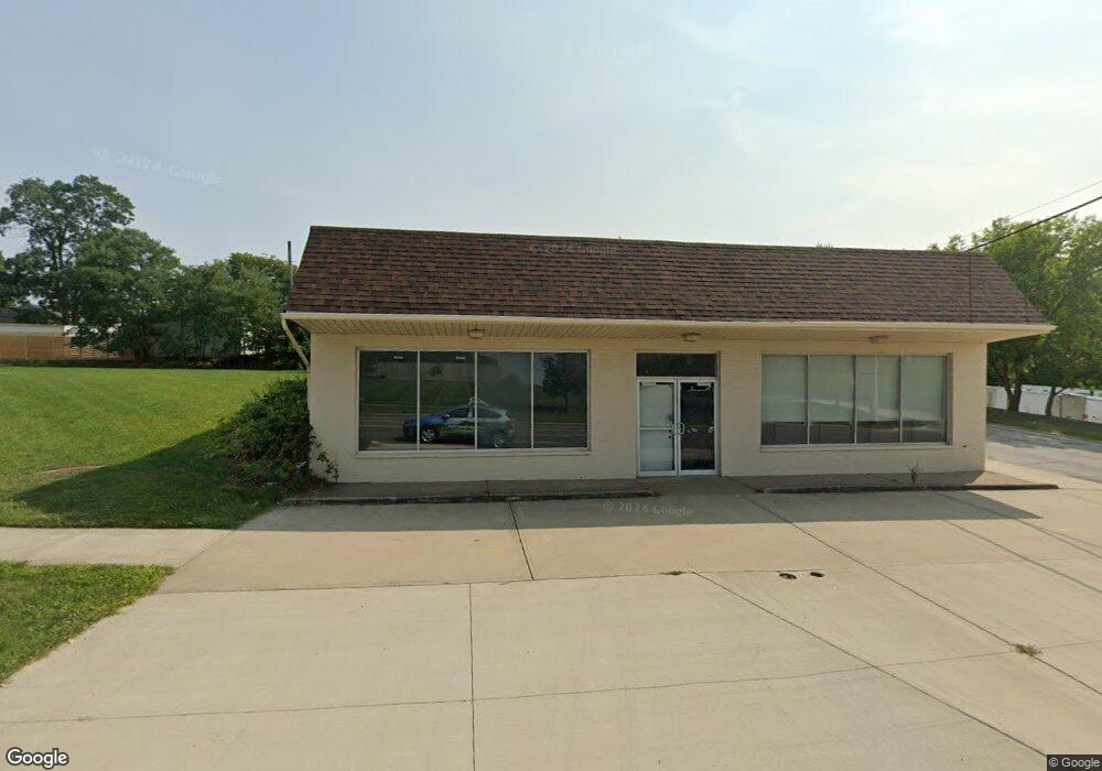
This home is located at 8217 Brookpark Rd, Parma, OH 44129 and is currently priced at $126,992, approximately $29 per square foot. 8217 Brookpark Rd is a home located in Cuyahoga County with nearby schools including Ridge-Brook Elementary School, Greenbriar Middle School, and Parma High School.
Ownership History
Date
Name
Owned For
Owner Type
Purchase Details
Closed on
Jul 5, 2022
Sold by
Debra L Cukras Revocable Trust
Bought by
Impala Biagio
Current Estimated Value
Purchase Details
Closed on
Oct 28, 2004
Sold by
Cukras Wayne A and Cukras Debra L
Bought by
Cukras Debra L and Cukras Wayne A
Purchase Details
Closed on
Jun 9, 1989
Sold by
Meeks Mildred C
Bought by
Cukras Wayne A
Purchase Details
Closed on
May 15, 1987
Sold by
Feldkircher Eugene A
Bought by
Meeks Mildred C
Purchase Details
Closed on
Jan 10, 1980
Bought by
Feldkircher Eugene A
Purchase Details
Closed on
Jan 1, 1975
Bought by
Brown Jimmy Rlty Co
Create a Home Valuation Report for This Property
The Home Valuation Report is an in-depth analysis detailing your home's value as well as a comparison with similar homes in the area
Home Values in the Area
Average Home Value in this Area
Purchase History
| Date | Buyer | Sale Price | Title Company |
|---|---|---|---|
| Impala Biagio | $115,000 | Everest Land Title | |
| Cukras Debra L | -- | -- | |
| Cukras Wayne A | $140,000 | -- | |
| Meeks Mildred C | $145,000 | -- | |
| Feldkircher Eugene A | $115,000 | -- | |
| Brown Jimmy Rlty Co | -- | -- |
Source: Public Records
Tax History Compared to Growth
Tax History
| Year | Tax Paid | Tax Assessment Tax Assessment Total Assessment is a certain percentage of the fair market value that is determined by local assessors to be the total taxable value of land and additions on the property. | Land | Improvement |
|---|---|---|---|---|
| 2024 | $3,450 | $40,775 | $12,250 | $28,525 |
| 2023 | $3,457 | $40,250 | $12,250 | $28,000 |
| 2022 | $5,772 | $68,740 | $12,250 | $56,490 |
| 2021 | $5,976 | $68,740 | $12,250 | $56,490 |
| 2020 | $6,235 | $68,740 | $12,250 | $56,490 |
| 2019 | $6,091 | $196,400 | $35,000 | $161,400 |
| 2018 | $6,121 | $68,740 | $12,250 | $56,490 |
| 2017 | $6,376 | $69,130 | $11,270 | $57,860 |
| 2016 | $6,339 | $69,130 | $11,270 | $57,860 |
| 2015 | $6,776 | $69,130 | $11,270 | $57,860 |
| 2014 | $6,776 | $75,150 | $12,250 | $62,900 |
Source: Public Records
Map
Nearby Homes
- 8206 Newport Ave
- 7707 Liberty Ave
- 5440 W 84th St Unit 42
- 7915 Fernhill Ave
- 9118 Fernhill Ave
- 9417 Fernhill Ave
- 4830 Autumn Ln
- 6508 Delora Ave
- 6511 Laverne Ave
- 6606 Theota Ave
- 7609 Wooster Pkwy
- 6306 Flowerdale Ave
- 4722 Bentwood Dr
- 5717 Chestnut Dr
- 6403 Bradley Ave
- 6211 Luelda Ave
- 4739 Ridge Rd
- 6106 Merkle Ave
- 6209 Archmere Ave
- 6014 Laverne Ave
- 8218 Liberty Ave
- 8214 Liberty Ave
- 8210 Liberty Ave
- 8206 Liberty Ave
- 8202 Liberty Ave
- 5226 W 83rd St
- 5230 W 83rd St
- 8118 Liberty Ave
- 8219 Liberty Ave
- 8215 Liberty Ave
- 5234 W 83rd St
- 8211 Liberty Ave
- 8114 Liberty Ave
- 8207 Liberty Ave
- 8123 Liberty Ave
- 5238 W 83rd St
- 8110 Liberty Ave
- 5242 W 83rd St
- 8119 Liberty Ave
- 8106 Liberty Ave