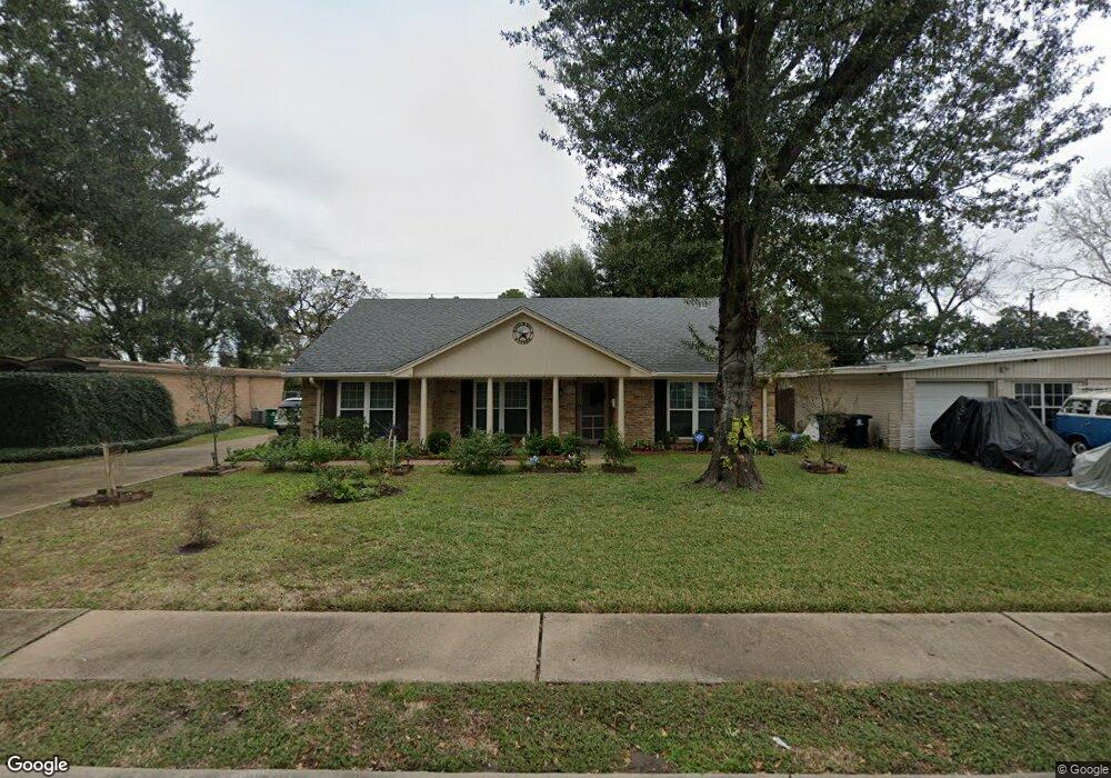
8218 Leader St Houston, TX 77036
Sharpstown NeighborhoodEstimated Value: $286,000 - $309,000
3
Beds
2
Baths
2,011
Sq Ft
$149/Sq Ft
Est. Value
About This Home
This home is located at 8218 Leader St, Houston, TX 77036 and is currently estimated at $299,730, approximately $149 per square foot. 8218 Leader St is a home located in Harris County with nearby schools including Neff Elementary School, Sugar Grove Academy, and Sharpstown High School.
Ownership History
Date
Name
Owned For
Owner Type
Purchase Details
Closed on
Apr 16, 2018
Sold by
Vu Christine
Bought by
Tran Tessie Tien
Current Estimated Value
Purchase Details
Closed on
Mar 3, 2017
Sold by
Hagan Alice M
Bought by
Vu Ch Ristine
Purchase Details
Closed on
Sep 26, 2016
Sold by
Hagna Family Trsut
Bought by
Hagan Alicei M
Purchase Details
Closed on
Sep 9, 1993
Sold by
Hagan Francis X and Hagan Alice M
Bought by
Hagan Family Trust
Create a Home Valuation Report for This Property
The Home Valuation Report is an in-depth analysis detailing your home's value as well as a comparison with similar homes in the area
Home Values in the Area
Average Home Value in this Area
Purchase History
| Date | Buyer | Sale Price | Title Company |
|---|---|---|---|
| Tran Tessie Tien | -- | None Available | |
| Vu Ch Ristine | -- | Title Insurance Co | |
| Hagan Alicei M | -- | None Available | |
| Hagan Family Trust | -- | -- |
Source: Public Records
Tax History Compared to Growth
Tax History
| Year | Tax Paid | Tax Assessment Tax Assessment Total Assessment is a certain percentage of the fair market value that is determined by local assessors to be the total taxable value of land and additions on the property. | Land | Improvement |
|---|---|---|---|---|
| 2025 | $3,712 | $289,523 | $137,111 | $152,412 |
| 2024 | $3,712 | $274,429 | $99,025 | $175,404 |
| 2023 | $3,141 | $278,144 | $99,025 | $179,119 |
| 2022 | $5,151 | $247,512 | $60,938 | $186,574 |
| 2021 | $4,783 | $205,221 | $60,938 | $144,283 |
| 2020 | $5,240 | $209,485 | $60,938 | $148,547 |
| 2019 | $5,440 | $208,383 | $45,704 | $162,679 |
| 2018 | $5,061 | $199,992 | $45,704 | $154,288 |
| 2017 | $4,610 | $195,411 | $45,704 | $149,707 |
| 2016 | $4,191 | $190,513 | $45,704 | $144,809 |
| 2015 | $437 | $168,690 | $45,704 | $122,986 |
| 2014 | $437 | $147,593 | $45,704 | $101,889 |
Source: Public Records
Map
Nearby Homes
- 8314 Edgemoor Dr
- 8515 Edgemoor Dr
- 6602 Harbor Town Dr Unit 1207
- 6602 Harbor Town Dr Unit 1202
- 8527 Edgemoor Dr
- 7819 Bellaire Blvd
- 6500 Harbor Town Dr Unit 3208
- 6500 Harbor Town Dr Unit 2808
- 6500 Harbor Town Dr Unit 3204
- 6500 Harbor Town Dr Unit 3408
- 6500 Harbor Town Dr Unit 2902
- 8530 Roos Rd
- 8019 Sharpview Dr
- 7302 Burning Tree Dr
- 7302 Redding Rd
- 8223 Golf Green Cir
- 6411 Redding Rd
- 7303 Augustine Dr
- 8818 Roos Rd
- 8826 Rowan Ln
- 8214 Leader St
- 8222 Leader St
- 8215 Bellaire Blvd
- 8210 Leader St
- 8219 Bellaire Blvd
- 8226 Leader St
- 8211 Bellaire Blvd
- 8219 Leader St
- 8223 Bellaire Blvd
- 8223 Leader St
- 8215 Leader St
- 8206 Leader St
- 8207 Bellaire Blvd
- 8227 Leader St
- 8302 Leader St
- 8203 Bellaire Blvd
- 8207 Leader St
- 8202 Leader St
- 8218 Edgemoor Dr
- 8222 Edgemoor Dr