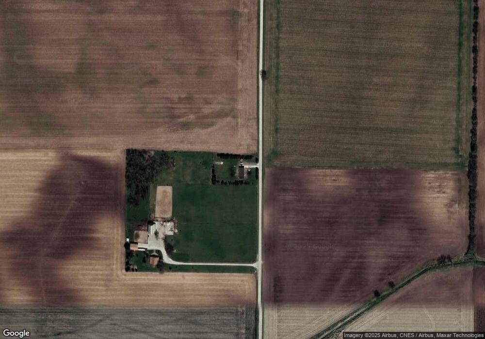
8218 S 550 E Lafayette, IN 47909
Estimated Value: $341,000 - $451,000
3
Beds
2
Baths
1,984
Sq Ft
$209/Sq Ft
Est. Value
About This Home
This home is located at 8218 S 550 E, Lafayette, IN 47909 and is currently estimated at $413,846, approximately $208 per square foot. 8218 S 550 E is a home located in Tippecanoe County with nearby schools including James Cole Elementary School, Wainwright Middle School, and McCutcheon High School.
Ownership History
Date
Name
Owned For
Owner Type
Purchase Details
Closed on
Feb 18, 2020
Sold by
Fitzsimons James A
Bought by
Fitzsimons Robert Anthony
Current Estimated Value
Home Financials for this Owner
Home Financials are based on the most recent Mortgage that was taken out on this home.
Original Mortgage
$103,276
Outstanding Balance
$94,434
Interest Rate
5.5%
Mortgage Type
FHA
Estimated Equity
$319,412
Purchase Details
Closed on
Mar 30, 2006
Sold by
California Union Properties Llc
Bought by
Fitzsimons James A
Home Financials for this Owner
Home Financials are based on the most recent Mortgage that was taken out on this home.
Original Mortgage
$117,810
Interest Rate
6.27%
Mortgage Type
Purchase Money Mortgage
Purchase Details
Closed on
Nov 25, 2005
Sold by
Hud
Bought by
California Union Properties Llc
Purchase Details
Closed on
Mar 1, 2005
Sold by
Midfirst Bank
Bought by
Hud
Create a Home Valuation Report for This Property
The Home Valuation Report is an in-depth analysis detailing your home's value as well as a comparison with similar homes in the area
Purchase History
| Date | Buyer | Sale Price | Title Company |
|---|---|---|---|
| Fitzsimons Robert Anthony | $111,000 | Metropolitan Title | |
| Fitzsimons James A | -- | None Available | |
| California Union Properties Llc | -- | None Available | |
| Hud | -- | -- | |
| Midfirst Bank | -- | -- |
Source: Public Records
Mortgage History
| Date | Status | Borrower | Loan Amount |
|---|---|---|---|
| Open | Fitzsimons Robert Anthony | $103,276 | |
| Previous Owner | Fitzsimons James A | $117,810 |
Source: Public Records
Tax History Compared to Growth
Tax History
| Year | Tax Paid | Tax Assessment Tax Assessment Total Assessment is a certain percentage of the fair market value that is determined by local assessors to be the total taxable value of land and additions on the property. | Land | Improvement |
|---|---|---|---|---|
| 2024 | $1,768 | $267,700 | $48,900 | $218,800 |
| 2023 | $263 | $49,800 | $48,900 | $900 |
| 2022 | $1,197 | $182,000 | $48,900 | $133,100 |
| 2021 | $1,061 | $165,300 | $48,900 | $116,400 |
| 2020 | $992 | $154,100 | $48,900 | $105,200 |
| 2019 | $940 | $148,600 | $48,900 | $99,700 |
| 2018 | $887 | $143,800 | $48,900 | $94,900 |
| 2017 | $866 | $140,600 | $48,900 | $91,700 |
| 2016 | $843 | $139,000 | $48,900 | $90,100 |
| 2014 | $721 | $130,900 | $48,900 | $82,000 |
| 2013 | $549 | $106,300 | $48,900 | $57,400 |
Source: Public Records
Map
Nearby Homes
- 3626 E 800 S
- 6943 Monroe St
- 9205 Yorktown St
- 9314 S 700 E
- 7858 E 800 S
- 0 S 800 E Unit 202536919
- 3591 Bamboo St
- 4603 Leeward Ln
- 4785 Langhorn Trail
- 9305 Main St
- 7660 Beth Ann Ln
- 3636 Regatta Dr
- 4445 Sr 25 Hwy W
- 2436 Silverado Cir
- 2714 Margesson Crossing
- 953 Ravenstone Dr
- 7369 House St
- 3505 Goris Dr
- 4741 Masons Ridge Rd
- 3524 Collier Dr