8219 Hunterdon Rd Glouster, OH 45732
Estimated Value: $58,000 - $124,000
2
Beds
1
Bath
812
Sq Ft
$114/Sq Ft
Est. Value
About This Home
This home is located at 8219 Hunterdon Rd, Glouster, OH 45732 and is currently estimated at $92,204, approximately $113 per square foot. 8219 Hunterdon Rd is a home located in Athens County with nearby schools including Trimble Elementary School, Trimble Middle School, and Trimble High School.
Ownership History
Date
Name
Owned For
Owner Type
Purchase Details
Closed on
Nov 24, 2021
Sold by
Hooper Terry L and Hooper Vicky L
Bought by
Carsey Tara L and Carsey Michael W
Current Estimated Value
Purchase Details
Closed on
Mar 28, 2020
Sold by
Mills Bobby L and Mills Kevin L
Bought by
Hooper Terry L
Purchase Details
Closed on
Oct 28, 2004
Sold by
Evans Charles E
Bought by
Bailey Dorothy
Purchase Details
Closed on
Feb 27, 2004
Sold by
Evans Charles E and Evans Audrey M
Bought by
Evans Charles E
Purchase Details
Closed on
Oct 26, 2000
Sold by
Evans Charles E
Bought by
Evans Charles E and Evans Audrey M
Purchase Details
Closed on
Aug 23, 1994
Sold by
Cooper Robert J
Bought by
Evans Charles E
Purchase Details
Closed on
Nov 12, 1993
Sold by
Lenigar P W
Bought by
Lenigar P W
Purchase Details
Closed on
Feb 23, 1993
Sold by
Lenigar P W Alberta
Bought by
Lenigar P W
Create a Home Valuation Report for This Property
The Home Valuation Report is an in-depth analysis detailing your home's value as well as a comparison with similar homes in the area
Home Values in the Area
Average Home Value in this Area
Purchase History
| Date | Buyer | Sale Price | Title Company |
|---|---|---|---|
| Carsey Tara L | $1,000 | None Listed On Document | |
| Hooper Terry L | $3,000 | None Available | |
| Bailey Dorothy | -- | -- | |
| Evans Charles E | -- | -- | |
| Evans Charles E | -- | -- | |
| Evans Charles E | $3,000 | -- | |
| Lenigar P W | $1,600 | -- | |
| Lenigar P W | -- | -- |
Source: Public Records
Tax History Compared to Growth
Tax History
| Year | Tax Paid | Tax Assessment Tax Assessment Total Assessment is a certain percentage of the fair market value that is determined by local assessors to be the total taxable value of land and additions on the property. | Land | Improvement |
|---|---|---|---|---|
| 2024 | $899 | $9,890 | $3,700 | $6,190 |
| 2023 | $412 | $9,890 | $3,700 | $6,190 |
| 2022 | $346 | $7,990 | $3,080 | $4,910 |
| 2021 | $355 | $7,990 | $3,080 | $4,910 |
| 2020 | $216 | $8,910 | $4,000 | $4,910 |
| 2019 | $354 | $7,960 | $3,420 | $4,540 |
| 2018 | $390 | $7,960 | $3,420 | $4,540 |
| 2017 | $531 | $7,960 | $3,420 | $4,540 |
| 2016 | $357 | $7,320 | $3,110 | $4,210 |
| 2015 | $484 | $7,320 | $3,110 | $4,210 |
| 2014 | $484 | $7,320 | $3,110 | $4,210 |
| 2013 | $391 | $6,760 | $2,670 | $4,090 |
Source: Public Records
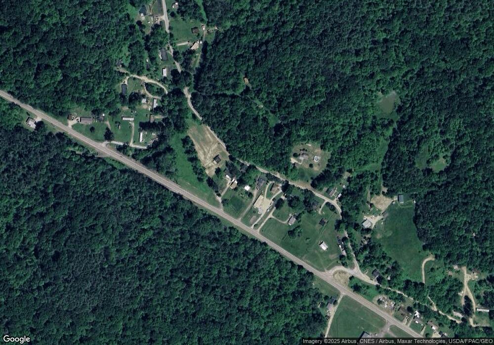
Map
Nearby Homes
- 31 Locust St
- 140 Sycamore St
- 33 S High St
- 13899 Locust St
- 0 Greens Run Rd
- 45747 Long St
- 10271 Antle Orchard Rd
- 93 Main St
- 88 Front St
- 19477 Center
- 19500 Lake Dr
- 6 E Main St
- 0 Red Rock Rd
- 11789 Congress Run Rd
- 18242 Ohio 13
- 0 Oregon Ridge Rd Unit 23564746
- 0 Marietta Ave
- 17795 N Akron Ave
- Lambert Rd
- 44438 Carbon Hill Buchtel Rd
- 8196 State Route 78
- 8221 Hunterdon Rd
- 8182 State Route 78
- 8234 Ohio 78
- 8234 State Route 78
- 8250 Hunterdon Rd
- 8315 Hunterdon Rd
- 8320 Hunterdon Rd
- 21133 Dean Rd
- 8311 Hunterdon Rd
- 8221 Ohio 78
- 21185 Dean Rd
- 8350 Hunterdon Rd
- 21121 Dean Rd
- 8144 Hunterdon Rd
- 8321 State Route 78
- 8012 State Route 78
- 8362 Old State Route 78
- 8072 Hunterdon Rd
- 8087 Hunterdon Rd