Estimated Value: $223,000 - $331,000
3
Beds
2
Baths
1,216
Sq Ft
$238/Sq Ft
Est. Value
About This Home
This home is located at 822 Canfield Ct NW, Ash, NC 28420 and is currently estimated at $289,211, approximately $237 per square foot. 822 Canfield Ct NW is a home with nearby schools including Jessie Mae Monroe Elementary School, Shallotte Middle School, and West Brunswick High School.
Ownership History
Date
Name
Owned For
Owner Type
Purchase Details
Closed on
Sep 15, 2025
Sold by
Rita June Canfield Revocable Living Trus and Canfield Grant Adelbert
Bought by
Canfield Grant Adelbert and Canfield Julie Ann
Current Estimated Value
Purchase Details
Closed on
Apr 1, 2025
Sold by
Canfield Rita J
Bought by
Rita June Canfield Revocable Living Trust and Canfield
Purchase Details
Closed on
Jul 1, 2001
Bought by
Canfield Rita J
Create a Home Valuation Report for This Property
The Home Valuation Report is an in-depth analysis detailing your home's value as well as a comparison with similar homes in the area
Home Values in the Area
Average Home Value in this Area
Purchase History
| Date | Buyer | Sale Price | Title Company |
|---|---|---|---|
| Canfield Grant Adelbert | -- | None Listed On Document | |
| Rita June Canfield Revocable Living Trust | -- | None Listed On Document | |
| Rita June Canfield Revocable Living Trust | -- | None Listed On Document | |
| Canfield Rita J | -- | -- |
Source: Public Records
Tax History Compared to Growth
Tax History
| Year | Tax Paid | Tax Assessment Tax Assessment Total Assessment is a certain percentage of the fair market value that is determined by local assessors to be the total taxable value of land and additions on the property. | Land | Improvement |
|---|---|---|---|---|
| 2025 | $1,035 | $206,230 | $66,580 | $139,650 |
| 2024 | $1,035 | $206,230 | $66,580 | $139,650 |
| 2023 | $1,221 | $206,230 | $66,580 | $139,650 |
| 2022 | $1,221 | $144,490 | $37,450 | $107,040 |
| 2021 | $1,221 | $144,490 | $37,450 | $107,040 |
| 2020 | $1,107 | $144,490 | $37,450 | $107,040 |
| 2019 | $1,107 | $40,150 | $37,450 | $2,700 |
| 2018 | $964 | $32,030 | $29,330 | $2,700 |
| 2017 | $964 | $32,030 | $29,330 | $2,700 |
| 2016 | $899 | $32,030 | $29,330 | $2,700 |
| 2015 | $899 | $131,710 | $29,330 | $102,380 |
| 2014 | $1,306 | $236,380 | $127,620 | $108,760 |
Source: Public Records
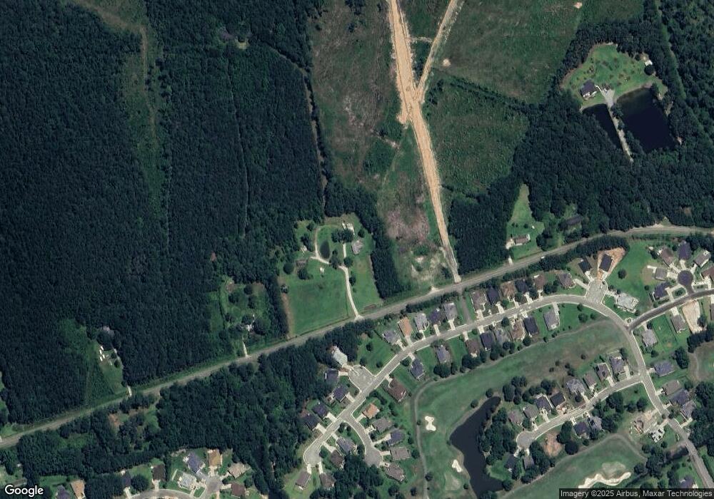
Map
Nearby Homes
- 1200 Moultrie Dr NW
- 1080 Rutledge Ct NW
- 1096 Rutledge Ct NW
- 1103 Treyburn Ct NW
- 598 Lathrop NW
- 1109 Treyburn Ct NW
- 1114 Treyburn Ct NW
- 1106 N Middleton Dr NW
- 677 Covington Dr NW
- 3555 Whaley Way
- 1061 Edenton Dr NW
- 1071 N Middleton Dr NW
- 1058 N Middleton Dr NW
- 2036 Marietta NW
- 1225 Woodhouse NW
- 2016 Marietta NW
- 2068 Marietta NW
- 1213 Woodhouse NW
- 649 Covington Dr NW
- 1062 N Middleton Dr NW
- 1182 Moultrie Dr NW
- 1178 Moultrie Dr NW
- 1174 Moultrie Dr NW
- 1170 Moultrie Dr NW
- 1190 Moultrie Dr NW
- 1166 Moultrie Dr NW
- Tract 3 Ivey Glen Ln NW
- Tract 2 Ivey Glen Ln NW
- 1118 Moultrie Dr NW Unit 436- Darby D
- 1118 Moultrie Dr NW Unit Lot 438- Darby D
- 1146 Moultrie Dr NW
- 1134 Moultrie Dr NW
- 1118 Moultrie Dr NW
- 1192 Moultrie Dr NW
- 1158 Moultrie Dr NW
- 808 Ivey Glen Ln NW
- 1181 Moultrie Dr NW
- 1185 Moultrie Dr NW
- 1171 Moultrie Dr NW
- 1189 Moultrie Dr NW