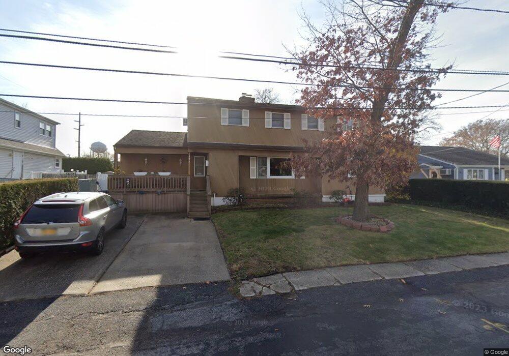
822 Densfield Rd West Babylon, NY 11704
Estimated Value: $632,873 - $840,000
Studio
--
Bath
2,439
Sq Ft
$307/Sq Ft
Est. Value
About This Home
This home is located at 822 Densfield Rd, West Babylon, NY 11704 and is currently estimated at $747,718, approximately $306 per square foot. 822 Densfield Rd is a home located in Suffolk County with nearby schools including West Babylon Senior High School.
Ownership History
Date
Name
Owned For
Owner Type
Purchase Details
Closed on
Jul 3, 2013
Sold by
Scott Kenneth and Scott Elizabeth
Bought by
Scott Kenneth
Current Estimated Value
Home Financials for this Owner
Home Financials are based on the most recent Mortgage that was taken out on this home.
Original Mortgage
$52,684
Interest Rate
4.31%
Mortgage Type
New Conventional
Purchase Details
Closed on
Nov 15, 2000
Sold by
Scott Kenneth and Scott Elizabeth
Bought by
Scott Kenneth and Scott Elizabeth
Home Financials for this Owner
Home Financials are based on the most recent Mortgage that was taken out on this home.
Original Mortgage
$160,000
Interest Rate
7.69%
Create a Home Valuation Report for This Property
The Home Valuation Report is an in-depth analysis detailing your home's value as well as a comparison with similar homes in the area
Home Values in the Area
Average Home Value in this Area
Purchase History
| Date | Buyer | Sale Price | Title Company |
|---|---|---|---|
| Scott Kenneth | -- | First American Title | |
| Scott Kenneth | -- | L I Title |
Source: Public Records
Mortgage History
| Date | Status | Borrower | Loan Amount |
|---|---|---|---|
| Previous Owner | Scott Kenneth | $52,684 | |
| Previous Owner | Scott Kenneth | $160,000 |
Source: Public Records
Tax History
| Year | Tax Paid | Tax Assessment Tax Assessment Total Assessment is a certain percentage of the fair market value that is determined by local assessors to be the total taxable value of land and additions on the property. | Land | Improvement |
|---|---|---|---|---|
| 2024 | $15,054 | $4,380 | $250 | $4,130 |
| 2023 | $15,054 | $4,380 | $250 | $4,130 |
| 2022 | $12,753 | $4,380 | $250 | $4,130 |
| 2021 | $12,753 | $4,380 | $250 | $4,130 |
| 2020 | $13,230 | $4,380 | $250 | $4,130 |
| 2019 | $13,230 | $0 | $0 | $0 |
| 2018 | $12,651 | $4,380 | $250 | $4,130 |
| 2017 | $12,651 | $4,380 | $250 | $4,130 |
| 2016 | $12,621 | $4,380 | $250 | $4,130 |
| 2015 | -- | $4,380 | $250 | $4,130 |
| 2014 | -- | $4,380 | $250 | $4,130 |
Source: Public Records
Map
Nearby Homes
- 792 Frankford Rd
- 792 Glendale Rd
- 825 Weber Ave
- 323 Grand Ave
- 475 N Putnam Ave
- 436 N Ontario Ave
- 551 Grand Ave
- 248 Arnold Ave
- 417 N Monroe Ave
- 669 East Dr
- 166 & 170 Woodrow Pkwy
- 285 Daniel St
- 6 Glenda Dr
- 115 Old Farmingdale Rd
- 455 N Hamilton Ave
- 247 N Greene Ave
- 244 N Erie Ave
- 24 Calvert Ave
- 86 Farber Dr Unit 86
- 45 Farber Dr
- 60 Avenue C
- 828 Densfield Rd
- 825 Carlton Rd
- 813 Carlton Rd
- 827 Carlton Rd
- 823 Densfield Rd
- 836 Densfield Rd
- 817 Densfield Rd
- 831 Densfield Rd
- 835 Carlton Rd
- 804 Densfield Rd
- 51 Avenue C
- 844 Densfield Rd
- 839 Densfield Rd
- 805 Densfield Rd
- 822 Carlton Rd
- 843 Carlton Rd
- 814 Elmwood Rd
- 44 Avenue C
- 828 Carlton Rd
Your Personal Tour Guide
Ask me questions while you tour the home.