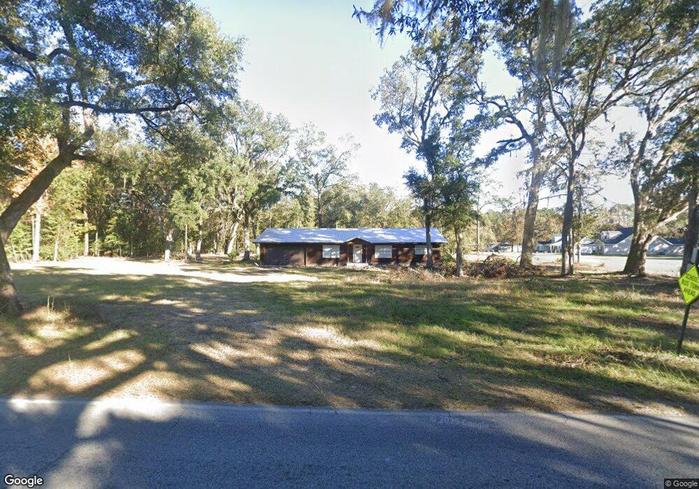
822 Dunlevie Rd Allenhurst, GA 31301
Estimated Value: $115,000 - $287,000
3
Beds
2
Baths
1,870
Sq Ft
$106/Sq Ft
Est. Value
About This Home
This home is located at 822 Dunlevie Rd, Allenhurst, GA 31301 and is currently estimated at $198,163, approximately $105 per square foot. 822 Dunlevie Rd is a home located in Liberty County with nearby schools including Frank Long Elementary School, Lewis Frasier Middle School, and Liberty County High School.
Ownership History
Date
Name
Owned For
Owner Type
Purchase Details
Closed on
Feb 5, 2019
Sold by
Tyson Carol J
Bought by
Mcdonald William David
Current Estimated Value
Home Financials for this Owner
Home Financials are based on the most recent Mortgage that was taken out on this home.
Original Mortgage
$31,651
Interest Rate
4.4%
Mortgage Type
New Conventional
Purchase Details
Closed on
Sep 30, 1983
Bought by
Tyson Carol J
Purchase Details
Closed on
Feb 11, 1970
Bought by
Tyson Carol J
Create a Home Valuation Report for This Property
The Home Valuation Report is an in-depth analysis detailing your home's value as well as a comparison with similar homes in the area
Home Values in the Area
Average Home Value in this Area
Purchase History
| Date | Buyer | Sale Price | Title Company |
|---|---|---|---|
| Mcdonald William David | $30,000 | -- | |
| Tyson Carol J | -- | -- | |
| Tyson Carol J | -- | -- |
Source: Public Records
Mortgage History
| Date | Status | Borrower | Loan Amount |
|---|---|---|---|
| Closed | Mcdonald William David | $31,651 |
Source: Public Records
Tax History Compared to Growth
Tax History
| Year | Tax Paid | Tax Assessment Tax Assessment Total Assessment is a certain percentage of the fair market value that is determined by local assessors to be the total taxable value of land and additions on the property. | Land | Improvement |
|---|---|---|---|---|
| 2024 | $1,166 | $27,913 | $1,296 | $26,617 |
| 2023 | $1,166 | $24,957 | $1,296 | $23,661 |
| 2022 | $966 | $20,593 | $1,296 | $19,297 |
| 2021 | $896 | $18,839 | $1,296 | $17,543 |
| 2020 | $626 | $19,147 | $1,296 | $17,851 |
| 2019 | $621 | $31,560 | $1,296 | $30,264 |
| 2018 | $481 | $32,039 | $1,262 | $30,777 |
| 2017 | $1,381 | $32,552 | $1,262 | $31,290 |
| 2016 | $479 | $33,065 | $1,262 | $31,803 |
| 2015 | $652 | $33,065 | $1,262 | $31,803 |
| 2014 | $652 | $34,956 | $1,262 | $33,695 |
| 2013 | -- | $31,751 | $1,261 | $30,489 |
Source: Public Records
Map
Nearby Homes
- 100 Mccumber Dr
- 996 Dunlevie Rd
- 7.22 AC Dunlevie Rd
- 480 Mccumber Dr
- 166 Stephanie Dr
- 619 Mccumber Dr
- 534 Deer Meadow Way
- 685 Deer Meadow Way
- 256 Deer Meadow Way
- 1118 Buckhead Loop
- 684 Deer Meadow Way
- 514 Deer Meadow Way
- 554 Deer Meadow Way
- 704 Deer Meadow Way
- 575 Deer Meadow Way
- 593 Deer Meadow Way
- 662 Deer Meadow Way
- 374 Deer Meadow Way
- 663 Deer Meadow Way
- 645 Deer Meadow Way