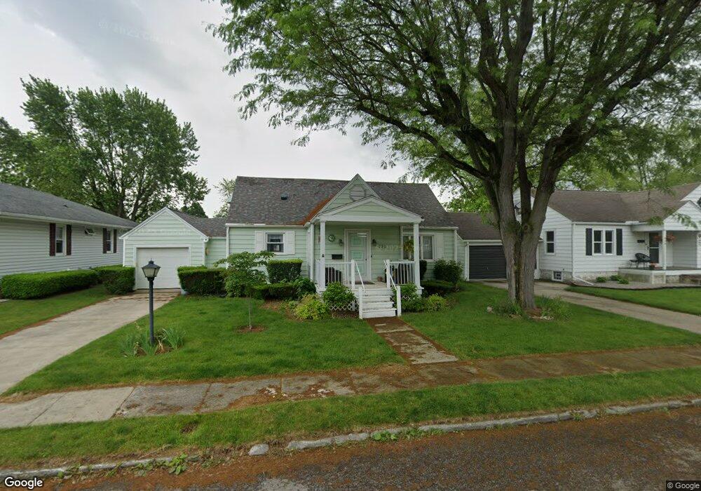
822 Elson Ave van Wert, OH 45891
Estimated Value: $143,929 - $161,000
3
Beds
1
Bath
1,376
Sq Ft
$112/Sq Ft
Est. Value
About This Home
This home is located at 822 Elson Ave, van Wert, OH 45891 and is currently estimated at $154,232, approximately $112 per square foot. 822 Elson Ave is a home located in Van Wert County with nearby schools including Van Wert Early Childhood Center, Van Wert High School, and Lifelinks Community School.
Ownership History
Date
Name
Owned For
Owner Type
Purchase Details
Closed on
Sep 27, 2022
Sold by
Tomlinson Dan E and Tomlinson Thomas P
Bought by
Serrano Sheila Ivonne Banos and Hernandez Perez Gamaliel
Current Estimated Value
Home Financials for this Owner
Home Financials are based on the most recent Mortgage that was taken out on this home.
Original Mortgage
$95,000
Outstanding Balance
$90,867
Interest Rate
5.22%
Mortgage Type
New Conventional
Estimated Equity
$63,365
Purchase Details
Closed on
Nov 28, 2011
Sold by
Estate Of Rex E Tomlinson
Bought by
Tomlinson Betty Lou
Create a Home Valuation Report for This Property
The Home Valuation Report is an in-depth analysis detailing your home's value as well as a comparison with similar homes in the area
Home Values in the Area
Average Home Value in this Area
Purchase History
| Date | Buyer | Sale Price | Title Company |
|---|---|---|---|
| Serrano Sheila Ivonne Banos | $125,000 | -- | |
| Tomlinson Betty Lou | -- | Attorney |
Source: Public Records
Mortgage History
| Date | Status | Borrower | Loan Amount |
|---|---|---|---|
| Open | Serrano Sheila Ivonne Banos | $95,000 |
Source: Public Records
Tax History
| Year | Tax Paid | Tax Assessment Tax Assessment Total Assessment is a certain percentage of the fair market value that is determined by local assessors to be the total taxable value of land and additions on the property. | Land | Improvement |
|---|---|---|---|---|
| 2024 | $1,189 | $34,530 | $3,610 | $30,920 |
| 2023 | $1,169 | $34,530 | $3,610 | $30,920 |
| 2022 | $633 | $24,310 | $2,670 | $21,640 |
| 2021 | $617 | $24,310 | $2,670 | $21,640 |
| 2020 | $615 | $24,310 | $2,670 | $21,640 |
| 2019 | $475 | $20,240 | $2,670 | $17,570 |
| 2018 | $456 | $20,240 | $2,670 | $17,570 |
| 2017 | $442 | $20,240 | $2,670 | $17,570 |
| 2016 | $381 | $19,430 | $2,670 | $16,760 |
| 2015 | $381 | $19,430 | $2,670 | $16,760 |
| 2014 | $377 | $19,430 | $2,670 | $16,760 |
| 2013 | $406 | $19,430 | $2,670 | $16,760 |
Source: Public Records
Map
Nearby Homes
- 129 S Lynn St
- 224 Woodstock Dr
- 114 S Wall St
- 522 South Ave
- 610 State St
- 222 Shaffer St
- 255 Parkview Dr
- 302 Shaffer St
- 836 State St
- 1328 Kathy St
- 000 Lincoln Hwy
- 14934 Lincoln Hwy
- 00 Lincoln Hwy
- 326 Gordon Ave
- 931 Kiger St
- 421 Boyd Ave
- 960 Glenn St
- 949 Southway St
- 515 N Jefferson St
- 631 S Washington St
Your Personal Tour Guide
Ask me questions while you tour the home.