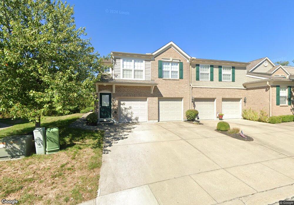
822 Flint Ridge Newport, KY 41076
Estimated Value: $228,961 - $282,000
2
Beds
2
Baths
1,496
Sq Ft
$171/Sq Ft
Est. Value
About This Home
This home is located at 822 Flint Ridge, Newport, KY 41076 and is currently estimated at $255,740, approximately $170 per square foot. 822 Flint Ridge is a home located in Campbell County with nearby schools including St Joseph Elementary School.
Ownership History
Date
Name
Owned For
Owner Type
Purchase Details
Closed on
Feb 10, 2017
Sold by
Trutschel Amanda and Trutschel Christopher
Bought by
Hornback Sharon D and Hornback Johnny E
Current Estimated Value
Home Financials for this Owner
Home Financials are based on the most recent Mortgage that was taken out on this home.
Original Mortgage
$136,040
Outstanding Balance
$112,092
Interest Rate
4.2%
Mortgage Type
New Conventional
Estimated Equity
$143,648
Purchase Details
Closed on
Nov 28, 2006
Sold by
Fischer Attached Homes Ii Llc
Bought by
Sahffer Sarah L
Home Financials for this Owner
Home Financials are based on the most recent Mortgage that was taken out on this home.
Original Mortgage
$134,580
Interest Rate
6.29%
Mortgage Type
New Conventional
Create a Home Valuation Report for This Property
The Home Valuation Report is an in-depth analysis detailing your home's value as well as a comparison with similar homes in the area
Home Values in the Area
Average Home Value in this Area
Purchase History
| Date | Buyer | Sale Price | Title Company |
|---|---|---|---|
| Hornback Sharon D | $143,200 | None Available | |
| Sahffer Sarah L | $152,190 | Homestead Title Agency Ltd |
Source: Public Records
Mortgage History
| Date | Status | Borrower | Loan Amount |
|---|---|---|---|
| Open | Hornback Sharon D | $136,040 | |
| Previous Owner | Sahffer Sarah L | $134,580 |
Source: Public Records
Tax History Compared to Growth
Tax History
| Year | Tax Paid | Tax Assessment Tax Assessment Total Assessment is a certain percentage of the fair market value that is determined by local assessors to be the total taxable value of land and additions on the property. | Land | Improvement |
|---|---|---|---|---|
| 2025 | $1,967 | $160,200 | $0 | $160,200 |
| 2024 | $1,967 | $160,200 | $0 | $160,200 |
| 2023 | $1,922 | $160,200 | $0 | $160,200 |
| 2022 | $1,824 | $143,200 | $0 | $143,200 |
| 2021 | $1,824 | $143,200 | $0 | $143,200 |
| 2020 | $1,843 | $143,200 | $0 | $143,200 |
| 2019 | $1,812 | $143,200 | $0 | $143,200 |
| 2018 | $1,824 | $143,200 | $0 | $143,200 |
| 2017 | $1,580 | $125,000 | $0 | $125,000 |
| 2016 | $1,536 | $125,000 | $0 | $0 |
| 2015 | $1,560 | $125,000 | $0 | $0 |
| 2014 | $1,842 | $152,190 | $0 | $0 |
Source: Public Records
Map
Nearby Homes
- 5828 Ripple Creek Rd
- 302 Kingsway Ct
- Lot 39 Dry Creek Rd
- Lot 40 Dry Creek Rd
- Lot 42 Dry Creek Rd
- Lot 41 Dry Creek Rd
- 0 Dry Creek Road 4 56 Acres Unit 620727
- 109 Stonyridge Drive Lot #7
- 201 Thornbush Ct
- 4 Charity Hill Drive Lot 2
- 203 Stonycreek Court Lot 37
- 205 Stonycreek Court Lot 36
- 600 Ivy Ridge Dr
- 74 Stonyridge Drive Lot #26
- 315 Ivy Ridge Dr Unit 315
- 76 Stonyridge Drive Lot #27
- 1002 Monterey Ln
- 78 Stonyridge Dr Unit lot28
- 387 Deepwoods Dr
- 10 Barma Dr
- 828 Flint Ridge
- 828 Flint Ridge Unit 828
- 828 Flint Ridge Unit 3-302
- 828 Flint Ridge Unit 3
- 818 Flint Ridge
- 826 Flint Ridge
- 832 Flint Ridge
- 838 Flint Ridge
- 834 Flint Ridge
- 834 Flint Ridge Unit 3-203
- 840 Flint Ridge
- 830 Flint Ridge
- 830 Flint Ridge Unit 3-102
- 820 Flint Ridge
- 820 Flint Ridge Unit 3-101
- 842 Flint Ridge
- 842 Flint Ridge Unit 3-304
- 836 Flint Ridge
- 846 Flint Ridge
- 846 Flint Ridge Unit 3-204