Estimated Value: $337,864 - $407,000
--
Bed
2
Baths
1,624
Sq Ft
$224/Sq Ft
Est. Value
About This Home
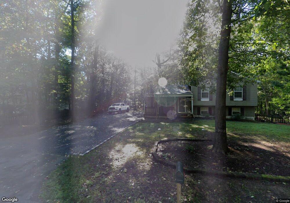
This home is located at 822 Planters Wharf Rd, Lusby, MD 20657 and is currently estimated at $363,466, approximately $223 per square foot. 822 Planters Wharf Rd is a home located in Calvert County with nearby schools including St Leonard Elementary School, Southern Middle School, and Calvert High School.
Ownership History
Date
Name
Owned For
Owner Type
Purchase Details
Closed on
Feb 11, 2004
Sold by
Mackall Chester Gregory
Bought by
Green Shawn M
Current Estimated Value
Purchase Details
Closed on
Sep 15, 1998
Sold by
Rockwell Group Inc The
Bought by
Mackall Chester Gregory
Purchase Details
Closed on
Jan 22, 1998
Sold by
Yelton Cecil J and Yelton Iva M
Bought by
Rockwell Group Inc The
Create a Home Valuation Report for This Property
The Home Valuation Report is an in-depth analysis detailing your home's value as well as a comparison with similar homes in the area
Home Values in the Area
Average Home Value in this Area
Purchase History
| Date | Buyer | Sale Price | Title Company |
|---|---|---|---|
| Green Shawn M | $198,900 | -- | |
| Mackall Chester Gregory | $112,200 | -- | |
| Rockwell Group Inc The | $22,650 | -- |
Source: Public Records
Mortgage History
| Date | Status | Borrower | Loan Amount |
|---|---|---|---|
| Closed | Rockwell Group Inc The | -- |
Source: Public Records
Tax History Compared to Growth
Tax History
| Year | Tax Paid | Tax Assessment Tax Assessment Total Assessment is a certain percentage of the fair market value that is determined by local assessors to be the total taxable value of land and additions on the property. | Land | Improvement |
|---|---|---|---|---|
| 2025 | $2,655 | $244,633 | $0 | $0 |
| 2024 | $2,655 | $225,967 | $0 | $0 |
| 2023 | $2,368 | $207,300 | $67,000 | $140,300 |
| 2022 | $2,321 | $203,100 | $0 | $0 |
| 2021 | $2,238 | $198,900 | $0 | $0 |
| 2020 | $2,238 | $194,700 | $67,000 | $127,700 |
| 2019 | $2,196 | $190,100 | $0 | $0 |
| 2018 | $2,135 | $185,500 | $0 | $0 |
| 2017 | $2,111 | $180,900 | $0 | $0 |
| 2016 | -- | $180,900 | $0 | $0 |
| 2015 | $2,253 | $180,900 | $0 | $0 |
| 2014 | $2,253 | $182,800 | $0 | $0 |
Source: Public Records
Map
Nearby Homes
- 8202 Sycamore Rd
- 7335 Perry Ln
- 8241 Power Dr
- 8248 Power Dr
- 7421 Stone Ct
- 1111 Thompson Ct
- 8406 Manor View Rd
- 8310 Circle Dr
- 8225 Cedar Ln
- 8413 Manor View Rd
- 709 Spruce Dr
- 521 Laurel Dr
- 720 Willow Rd
- 779 Spruce Dr
- 7030 Saw Mill Rd
- 8449 Pine Blvd
- 8453 Pine Blvd
- 8465 Pine Blvd
- 572 Evergreen Ct
- 8446 Pine Blvd
- 816 Planters Wharf Rd
- 850 Planters Wharf Rd
- 820 Berry Dr
- 7799 Orange Dr
- 810 Planters Wharf Rd
- 7901 Orange Dr
- 7819 Kirby Ct
- 7820 Kirby Ct
- 7905 Orange Dr
- 7830 Kirby Ct
- 7792 Orange Dr
- 7909 Orange Dr
- 7902 Orange Dr
- 7840 Kirby Ct
- 7805 Kirby Ct
- 7910 Orange Dr
- 7815 Kirby Ct
- 729 Berry Dr
- 7917 Orange Dr
- 748 Planters Wharf Rd