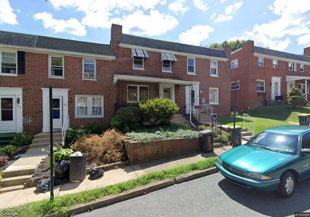
822 Rolridge Ave Lancaster, PA 17603
Prospect Heights NeighborhoodEstimated Value: $202,000 - $224,000
3
Beds
1
Bath
1,044
Sq Ft
$202/Sq Ft
Est. Value
About This Home
This home is located at 822 Rolridge Ave, Lancaster, PA 17603 and is currently estimated at $210,368, approximately $201 per square foot. 822 Rolridge Ave is a home located in Lancaster County with nearby schools including Price Elementary School, Wheatland Middle School, and McCaskey High School.
Ownership History
Date
Name
Owned For
Owner Type
Purchase Details
Closed on
Oct 29, 2007
Sold by
Hiepler Florence T
Bought by
Sonneborn Mark J
Current Estimated Value
Home Financials for this Owner
Home Financials are based on the most recent Mortgage that was taken out on this home.
Original Mortgage
$87,400
Outstanding Balance
$55,384
Interest Rate
6.41%
Mortgage Type
Purchase Money Mortgage
Estimated Equity
$154,984
Create a Home Valuation Report for This Property
The Home Valuation Report is an in-depth analysis detailing your home's value as well as a comparison with similar homes in the area
Home Values in the Area
Average Home Value in this Area
Purchase History
| Date | Buyer | Sale Price | Title Company |
|---|---|---|---|
| Sonneborn Mark J | $88,000 | None Available |
Source: Public Records
Mortgage History
| Date | Status | Borrower | Loan Amount |
|---|---|---|---|
| Open | Sonneborn Mark J | $87,400 |
Source: Public Records
Tax History Compared to Growth
Tax History
| Year | Tax Paid | Tax Assessment Tax Assessment Total Assessment is a certain percentage of the fair market value that is determined by local assessors to be the total taxable value of land and additions on the property. | Land | Improvement |
|---|---|---|---|---|
| 2025 | $3,110 | $78,600 | $19,700 | $58,900 |
| 2024 | $3,110 | $78,600 | $19,700 | $58,900 |
| 2023 | $3,058 | $78,600 | $19,700 | $58,900 |
| 2022 | $2,931 | $78,600 | $19,700 | $58,900 |
| 2021 | $2,868 | $78,600 | $19,700 | $58,900 |
| 2020 | $2,868 | $78,600 | $19,700 | $58,900 |
| 2019 | $2,825 | $78,600 | $19,700 | $58,900 |
| 2018 | $1,239 | $78,600 | $19,700 | $58,900 |
| 2017 | $2,958 | $64,400 | $16,200 | $48,200 |
| 2016 | $2,931 | $64,400 | $16,200 | $48,200 |
| 2015 | $1,143 | $64,400 | $16,200 | $48,200 |
| 2014 | $2,131 | $64,400 | $16,200 | $48,200 |
Source: Public Records
Map
Nearby Homes
- 816 Wabank St
- 848 Garnet Ave
- 472 New Dorwart St
- 758 Fremont St
- 640 Hebrank St
- 234 Fairview Ave
- 445 New Dorwart St
- 683 Fairview Ave
- 833 Marjory Terrace
- 433 Hillside Ave
- 653 Fremont St
- 664 Poplar St
- 843 Lucilla Ct
- 816 W Vine St
- 748 W Vine St
- 674 W Vine St
- 543 S Prince St
- 442 S Prince St
- 645 S Prince St
- 517 S Prince St
- 820 Rolridge Ave
- 824 Rolridge Ave
- 818 Rolridge Ave
- 828 Rolridge Ave
- 816 Rolridge Ave
- 830 Rolridge Ave
- 814 Rolridge Ave
- 832 Rolridge Ave
- 821 Hager St
- 817 Hager St
- 836 Rolridge Ave
- 825 Hager St
- 825 Rolridge Ave
- 823 Rolridge Ave
- 821 Rolridge Ave
- 819 Rolridge Ave
- 829 Rolridge Ave
- 813 Hager St
- 817 Rolridge Ave
- 831 Rolridge Ave