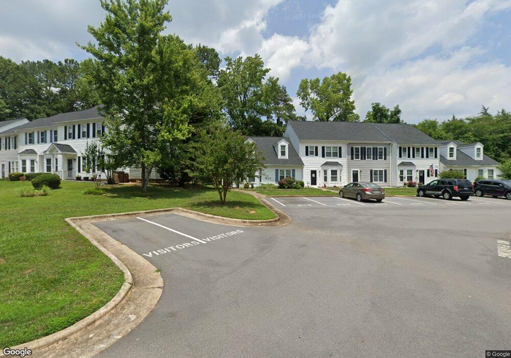
822 St Catherines Dr Wake Forest, NC 27587
Estimated Value: $256,000 - $283,000
2
Beds
2
Baths
1,437
Sq Ft
$186/Sq Ft
Est. Value
About This Home
This home is located at 822 St Catherines Dr, Wake Forest, NC 27587 and is currently estimated at $267,586, approximately $186 per square foot. 822 St Catherines Dr is a home located in Wake County with nearby schools including Richland Creek Elementary School, Wake Forest-Rolesville Middle School, and Wake Forest High School.
Ownership History
Date
Name
Owned For
Owner Type
Purchase Details
Closed on
Apr 30, 2014
Sold by
Cecire Joseph T and Cecire Jenna M
Bought by
Phillips Patricia Anne
Current Estimated Value
Purchase Details
Closed on
May 11, 2010
Sold by
Twiddy David M and Twiddy Nancy V
Bought by
Cecire Joseph T
Home Financials for this Owner
Home Financials are based on the most recent Mortgage that was taken out on this home.
Original Mortgage
$125,000
Interest Rate
4.99%
Mortgage Type
New Conventional
Purchase Details
Closed on
Oct 5, 2004
Sold by
Pearce Carl Bland
Bought by
Twiddy David M and Twiddy Nancy
Home Financials for this Owner
Home Financials are based on the most recent Mortgage that was taken out on this home.
Original Mortgage
$61,000
Interest Rate
5.71%
Mortgage Type
New Conventional
Create a Home Valuation Report for This Property
The Home Valuation Report is an in-depth analysis detailing your home's value as well as a comparison with similar homes in the area
Home Values in the Area
Average Home Value in this Area
Purchase History
We collect this data history from publicly available records. To have your information removed, we recommend requesting removal directly through your county’s website.
| Date | Buyer | Sale Price | Title Company |
|---|---|---|---|
| Phillips Patricia Anne | $121,000 | None Available | |
| Cecire Joseph T | $122,500 | None Available | |
| Twiddy David M | $117,000 | -- |
Source: Public Records
Mortgage History
We collect this data history from publicly available records. To have your information removed, we recommend requesting removal directly through your county’s website.
| Date | Status | Borrower | Loan Amount |
|---|---|---|---|
| Previous Owner | Cecire Joseph T | $125,000 | |
| Previous Owner | Twiddy David M | $61,000 |
Source: Public Records
Tax History
| Year | Tax Paid | Tax Assessment Tax Assessment Total Assessment is a certain percentage of the fair market value that is determined by local assessors to be the total taxable value of land and additions on the property. | Land | Improvement |
|---|---|---|---|---|
| 2025 | $2,670 | $278,047 | $40,000 | $238,047 |
| 2024 | $2,660 | $278,047 | $40,000 | $238,047 |
| 2023 | $2,098 | $178,799 | $26,000 | $152,799 |
| 2022 | $2,013 | $178,799 | $26,000 | $152,799 |
| 2021 | $1,978 | $178,799 | $26,000 | $152,799 |
| 2020 | $1,978 | $178,799 | $26,000 | $152,799 |
| 2019 | $1,473 | $117,080 | $16,000 | $101,080 |
| 2018 | $1,395 | $117,080 | $16,000 | $101,080 |
| 2017 | $1,349 | $117,080 | $16,000 | $101,080 |
| 2016 | $1,332 | $117,080 | $16,000 | $101,080 |
| 2015 | $1,439 | $125,053 | $24,000 | $101,053 |
| 2014 | -- | $125,053 | $24,000 | $101,053 |
Source: Public Records
Map
Nearby Homes
- 719 St Catherines Dr
- 956 E Durness Ct
- 321 Natsam Woods Way
- 333 Natsam Woods Way
- 361 Natsam Woods Way
- 993 Kintail Ct
- 372 Natsam Woods Way
- 389 Natsam Woods Way
- 654 Gimari Dr
- 411 W Oak Ave
- 104 Remington Woods Dr
- 153 Abercrombie Rd
- 405 Joyner Bluff Dr
- 405 Falls Bluff Dr
- 409 Falls Bluff Dr
- 413 Falls Bluff Dr
- 330 N Wingate St
- 320 N College St
- 1011 Barnford Mill Rd
- 203 Harris Rd
- 822 Saint Catherines Dr
- 820 St Catherines Dr
- 820 Saint Catherines Dr
- 828 Saint Catherines Dr
- 818 St Catherines Dr
- 828 St Catherines Dr
- 818 Saint Catherines Dr
- 830 Saint Catherines Dr
- 832 Saint Catherines Dr
- 814 St Catherines Dr
- 814 Saint Catherines Dr
- 834 Saint Catherines Dr
- 834 St Catherines Dr
- 836 Saint Catherines Dr
- 836 St Catherines Dr
- 810 Saint Catherines Dr
- 808 St Catherines Dr
- 808 Saint Catherines Dr
- 806 St Catherines Dr
- 821 St Catherines Dr
Your Personal Tour Guide
Ask me questions while you tour the home.