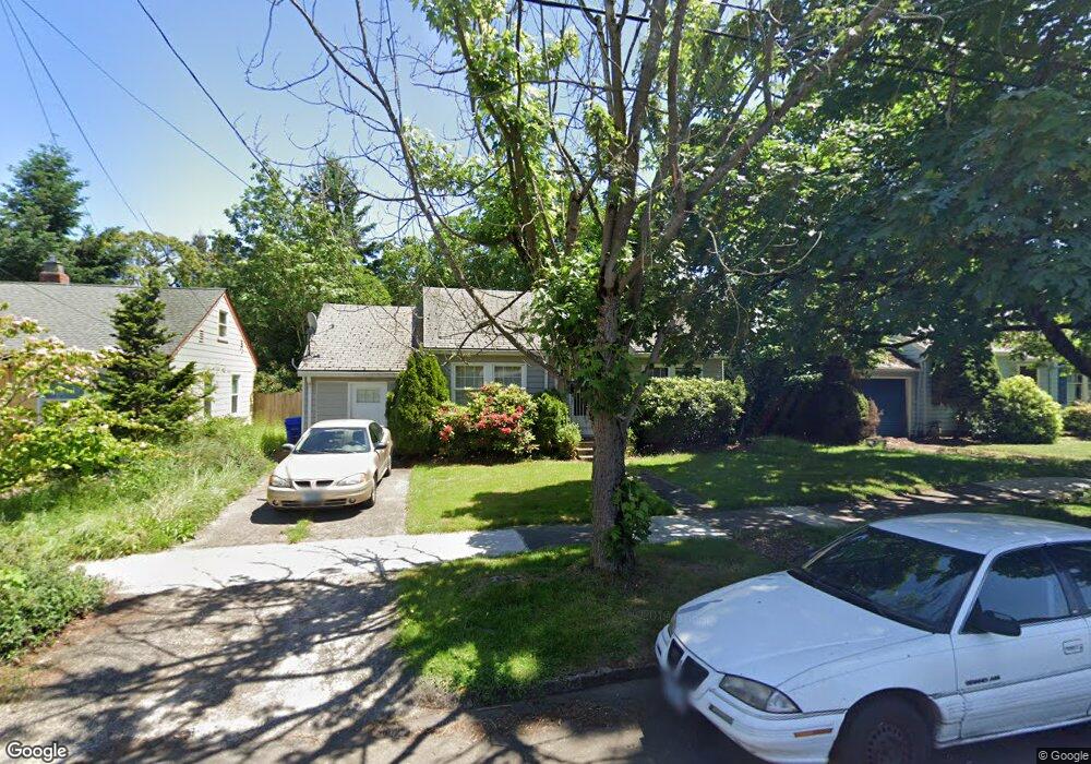
8220 N Wayland Ave Portland, OR 97203
Portsmouth NeighborhoodEstimated Value: $411,000 - $465,000
2
Beds
1
Bath
973
Sq Ft
$443/Sq Ft
Est. Value
About This Home
This home is located at 8220 N Wayland Ave, Portland, OR 97203 and is currently estimated at $430,925, approximately $442 per square foot. 8220 N Wayland Ave is a home located in Multnomah County with nearby schools including Astor Elementary School, Roosevelt High School, and Shining Star Waldorf School.
Ownership History
Date
Name
Owned For
Owner Type
Purchase Details
Closed on
Nov 27, 2013
Sold by
Adams Alan W
Bought by
Lasley Peter J
Current Estimated Value
Home Financials for this Owner
Home Financials are based on the most recent Mortgage that was taken out on this home.
Original Mortgage
$166,155
Outstanding Balance
$117,973
Interest Rate
2.99%
Mortgage Type
Adjustable Rate Mortgage/ARM
Estimated Equity
$312,952
Purchase Details
Closed on
Mar 1, 1995
Sold by
Stites Marie B
Bought by
Adams Alan W
Create a Home Valuation Report for This Property
The Home Valuation Report is an in-depth analysis detailing your home's value as well as a comparison with similar homes in the area
Home Values in the Area
Average Home Value in this Area
Purchase History
| Date | Buyer | Sale Price | Title Company |
|---|---|---|---|
| Lasley Peter J | $174,900 | Wfg Title | |
| Adams Alan W | $55,900 | -- |
Source: Public Records
Mortgage History
| Date | Status | Borrower | Loan Amount |
|---|---|---|---|
| Open | Lasley Peter J | $166,155 |
Source: Public Records
Tax History Compared to Growth
Tax History
| Year | Tax Paid | Tax Assessment Tax Assessment Total Assessment is a certain percentage of the fair market value that is determined by local assessors to be the total taxable value of land and additions on the property. | Land | Improvement |
|---|---|---|---|---|
| 2024 | $3,040 | $113,630 | -- | -- |
| 2023 | $2,924 | $110,330 | $0 | $0 |
| 2022 | $2,860 | $107,120 | $0 | $0 |
| 2021 | $2,812 | $104,000 | $0 | $0 |
| 2020 | $2,580 | $100,980 | $0 | $0 |
| 2019 | $2,485 | $98,040 | $0 | $0 |
| 2018 | $2,412 | $95,190 | $0 | $0 |
| 2017 | $2,312 | $92,420 | $0 | $0 |
| 2016 | $2,116 | $89,730 | $0 | $0 |
| 2015 | $2,060 | $87,120 | $0 | $0 |
| 2014 | $2,029 | $84,590 | $0 | $0 |
Source: Public Records
Map
Nearby Homes
- 4305 N Willis Blvd
- 7939 N Dana Ave
- 8227 N Woolsey Ave
- 3863 N Willis Blvd Unit 1
- 3859 N Willis Blvd Unit 2
- 3845 N Willis Blvd Unit 4
- 3843 N Willis Blvd Unit 3
- 3835 N Willis Blvd Unit 1
- 3851 N Willis Blvd Unit 4
- 3827 N Willis Blvd
- 8301 N Newman Ave
- 8351 N Newman Ave
- 8355 N Newman Ave
- 4409 N Houghton St
- 8162 N Druid Ave
- 3704 N Winchell St
- 8615 N Fiske Ave
- 3524 N Willis Blvd
- 8815 N Seward Ave
- 7464 N Olin Ave
- 8232 N Wayland Ave
- 8206 N Wayland Ave
- 8244 N Wayland Ave
- 8223 N Foss Ave
- 8217 N Foss Ave
- 8231 N Foss Ave
- 8205 N Foss Ave
- 8237 N Foss Ave
- 8252 N Wayland Ave
- 8217 N Wayland Ave
- 8229 N Wayland Ave
- 4303 N Kilpatrick St
- 8247 N Foss Ave
- 8241 N Wayland Ave
- 4232 N Kilpatrick St
- 8260 N Wayland Ave
- 8107 N Foss Ave
- 8247 N Wayland Ave
- 8255 N Foss Ave
- 8208 N Foss Ave