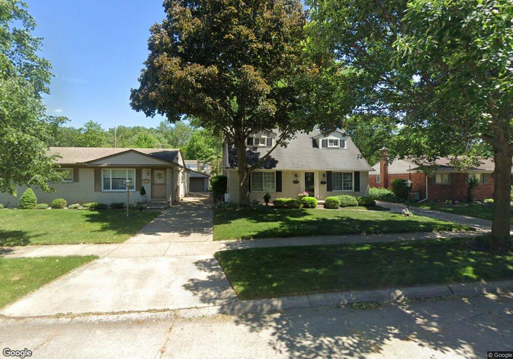
8222 Forrest Dr Canton, MI 48187
Estimated Value: $289,090 - $339,000
--
Bed
2
Baths
1,480
Sq Ft
$219/Sq Ft
Est. Value
About This Home
This home is located at 8222 Forrest Dr, Canton, MI 48187 and is currently estimated at $323,773, approximately $218 per square foot. 8222 Forrest Dr is a home located in Wayne County with nearby schools including Canton High School, East Middle School, and Salem High School.
Ownership History
Date
Name
Owned For
Owner Type
Purchase Details
Closed on
Sep 15, 1994
Sold by
Mammoser Christopher P
Bought by
Wilt Ross C and Harper-Wilt Julie
Current Estimated Value
Home Financials for this Owner
Home Financials are based on the most recent Mortgage that was taken out on this home.
Original Mortgage
$98,400
Interest Rate
8.86%
Mortgage Type
New Conventional
Create a Home Valuation Report for This Property
The Home Valuation Report is an in-depth analysis detailing your home's value as well as a comparison with similar homes in the area
Home Values in the Area
Average Home Value in this Area
Purchase History
| Date | Buyer | Sale Price | Title Company |
|---|---|---|---|
| Wilt Ross C | $111,400 | -- |
Source: Public Records
Mortgage History
| Date | Status | Borrower | Loan Amount |
|---|---|---|---|
| Previous Owner | Wilt Ross C | $98,400 |
Source: Public Records
Tax History Compared to Growth
Tax History
| Year | Tax Paid | Tax Assessment Tax Assessment Total Assessment is a certain percentage of the fair market value that is determined by local assessors to be the total taxable value of land and additions on the property. | Land | Improvement |
|---|---|---|---|---|
| 2025 | $1,494 | $140,800 | $0 | $0 |
| 2024 | $1,494 | $128,000 | $0 | $0 |
| 2023 | $1,424 | $117,000 | $0 | $0 |
| 2022 | $3,173 | $105,400 | $0 | $0 |
| 2021 | $3,078 | $96,200 | $0 | $0 |
| 2020 | $3,040 | $93,000 | $0 | $0 |
| 2019 | $2,985 | $80,610 | $0 | $0 |
| 2018 | $1,222 | $84,380 | $0 | $0 |
| 2017 | $3,115 | $81,200 | $0 | $0 |
| 2016 | $2,743 | $77,700 | $0 | $0 |
| 2015 | $6,714 | $73,920 | $0 | $0 |
| 2013 | $6,504 | $67,890 | $0 | $0 |
| 2010 | -- | $76,060 | $28,234 | $47,826 |
Source: Public Records
Map
Nearby Homes
- 8364 Holly Dr
- 8231 Holly Dr
- 7655 Koppernick Rd
- 38671 Belliveau St
- 39122 Dover St
- 9215 Westbury Ave
- 38489 Sycamore Ct Unit 89
- 8894 Knolson Ave
- 38508 Alma Ln
- 40522 Newport Dr
- 40504 Newport Dr
- 40105 Newport Dr Unit 358
- 9130 E Bassett Ct
- 40526 Newport Dr Unit 99
- 40584 Newport Ct
- 38876 Northfield Ave
- 40643 Newport Dr Unit 273
- 40554 Newport Dr
- 39500 Warren Rd Unit 167
- 39500 Warren Rd Unit 53
- 8234 Forrest Dr
- 8210 Forrest Dr
- 8246 Forrest Dr
- 8223 Orhan St
- 8235 Orhan St
- 8211 Orhan St
- 8258 Forrest Dr
- 8247 Orhan St
- 8221 Forrest Dr
- 8209 Forrest Dr
- 8233 Forrest Dr
- 8259 Orhan St
- 39567 Peters Dr
- 39553 Peters Dr
- 8245 Forrest Dr
- 8270 Forrest Dr
- 39581 Peters Dr
- 39539 Peters Dr
- 39605 Peters Dr
- 8257 Forrest Dr