8224 Strothkamp Ln Sullivan, MO 63080
Estimated Value: $276,000 - $426,433
2
Beds
1
Bath
1,456
Sq Ft
$234/Sq Ft
Est. Value
About This Home
This home is located at 8224 Strothkamp Ln, Sullivan, MO 63080 and is currently estimated at $340,811, approximately $234 per square foot. 8224 Strothkamp Ln is a home located in Franklin County with nearby schools including Strain-Japan Elementary School.
Ownership History
Date
Name
Owned For
Owner Type
Purchase Details
Closed on
May 28, 2025
Sold by
Ruwwe Joint Revocable Living Trust and Strothkamp Dale
Bought by
Strothkamp Robert and Strothkamp Tracy
Current Estimated Value
Home Financials for this Owner
Home Financials are based on the most recent Mortgage that was taken out on this home.
Original Mortgage
$489,250
Outstanding Balance
$487,153
Interest Rate
6.83%
Mortgage Type
New Conventional
Estimated Equity
-$146,342
Purchase Details
Closed on
Oct 1, 2013
Sold by
Franklin County
Bought by
Ruwwe Trust
Create a Home Valuation Report for This Property
The Home Valuation Report is an in-depth analysis detailing your home's value as well as a comparison with similar homes in the area
Purchase History
| Date | Buyer | Sale Price | Title Company |
|---|---|---|---|
| Strothkamp Robert | -- | None Listed On Document | |
| Strothkamp Robert | -- | None Listed On Document | |
| Ruwwe Trust | -- | -- |
Source: Public Records
Mortgage History
| Date | Status | Borrower | Loan Amount |
|---|---|---|---|
| Open | Strothkamp Robert | $489,250 | |
| Closed | Strothkamp Robert | $489,250 |
Source: Public Records
Tax History
| Year | Tax Paid | Tax Assessment Tax Assessment Total Assessment is a certain percentage of the fair market value that is determined by local assessors to be the total taxable value of land and additions on the property. | Land | Improvement |
|---|---|---|---|---|
| 2025 | $1,445 | $30,115 | $0 | $0 |
| 2024 | $1,445 | $26,721 | $0 | $0 |
| 2023 | $1,323 | $26,721 | $0 | $0 |
| 2022 | $1,343 | $26,212 | $0 | $0 |
| 2021 | $1,341 | $26,212 | $0 | $0 |
| 2020 | $1,216 | $23,500 | $0 | $0 |
| 2019 | $1,213 | $23,500 | $0 | $0 |
| 2018 | $1,189 | $22,782 | $0 | $0 |
| 2017 | $1,184 | $22,782 | $0 | $0 |
| 2016 | $1,100 | $21,037 | $0 | $0 |
| 2015 | $1,110 | $21,037 | $0 | $0 |
| 2014 | $1,126 | $21,258 | $0 | $0 |
Source: Public Records
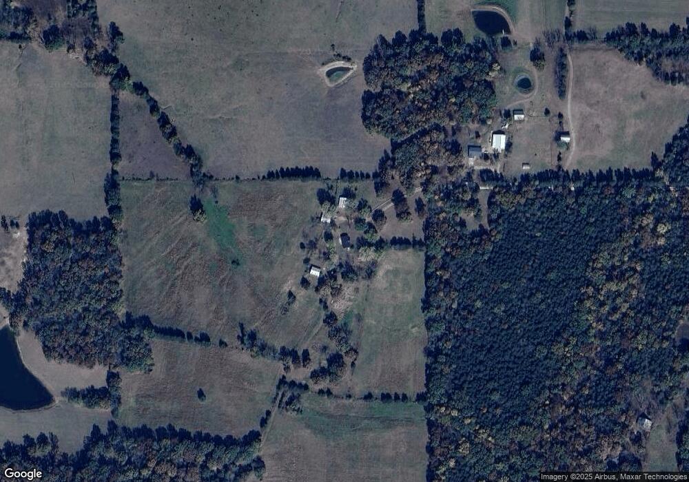
Map
Nearby Homes
- 4101 Juedeman Rd
- 4355 Licklider Rd
- 4023 Juedeman Rd
- 000 Kerick Ln
- 0 Kerick Ln
- 9445 Highway An
- 8614 Seminary Rd
- 66 Highway Cc
- 7951 Elmont Rd
- 2803 Highway J
- 9081 W Red Oak Rd
- 15746 Hwy F
- 4203 Highway 19
- 9081 & 9085 W Red Oak Rd
- 2227 Highway J
- 105 Rohrer Rd
- 6028 Highway Ac
- 0 Hill-Klein Rd Unit 25876821
- 000 TBD Hill-Klein Rd
- 000 Tbd Hill Klein Rd
- 8201 Strothkamp Ln
- 9215 Little Bourbeuse Rd
- 9130 Little Bourbeuse Rd
- 8143 Strothkamp Ln
- 9295 Little Bourbeuse Rd
- 9305 Little Bourbeuse Rd
- 8099 Strothkamp Ln
- 8091 Strothkamp Ln
- 8006 Strothkamp Ln
- 618 Berry Patch Ln
- 9275 Little Bourbeuse Rd
- 8063 Strothkamp Ln
- 8701 Highway Ae
- 9324 Martin Cemetary Rd
- 9366 Martin Cemetary Rd
- 8515 Jakes Prairie Rd
- 8640 Jakes Prairie Rd
- 9324 Martin Cemetery Rd
- 10 Licklider Rd
Your Personal Tour Guide
Ask me questions while you tour the home.