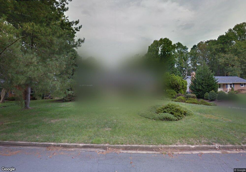
8226 Kay Ct Annandale, VA 22003
Estimated Value: $836,000 - $867,000
4
Beds
3
Baths
1,456
Sq Ft
$584/Sq Ft
Est. Value
About This Home
This home is located at 8226 Kay Ct, Annandale, VA 22003 and is currently estimated at $850,817, approximately $584 per square foot. 8226 Kay Ct is a home located in Fairfax County with nearby schools including Camelot Elementary School, Luther Jackson Middle School, and St. Ambrose Catholic School.
Ownership History
Date
Name
Owned For
Owner Type
Purchase Details
Closed on
Aug 20, 2020
Sold by
Hafner Gregory and Hafner Maureen
Bought by
Lytie Patrick and Moshopoulos Anastasia
Current Estimated Value
Home Financials for this Owner
Home Financials are based on the most recent Mortgage that was taken out on this home.
Original Mortgage
$654,508
Outstanding Balance
$580,595
Interest Rate
3%
Mortgage Type
Unknown
Estimated Equity
$270,222
Purchase Details
Closed on
Jul 31, 1997
Sold by
Coukis Basil P and Coukis Angelique Dec
Bought by
Hafner Gregory C
Create a Home Valuation Report for This Property
The Home Valuation Report is an in-depth analysis detailing your home's value as well as a comparison with similar homes in the area
Home Values in the Area
Average Home Value in this Area
Purchase History
| Date | Buyer | Sale Price | Title Company |
|---|---|---|---|
| Lytie Patrick | $655,000 | Stewart Title Guaranty | |
| Hafner Gregory C | $270,000 | -- |
Source: Public Records
Mortgage History
| Date | Status | Borrower | Loan Amount |
|---|---|---|---|
| Open | Lytie Patrick | $654,508 |
Source: Public Records
Tax History Compared to Growth
Tax History
| Year | Tax Paid | Tax Assessment Tax Assessment Total Assessment is a certain percentage of the fair market value that is determined by local assessors to be the total taxable value of land and additions on the property. | Land | Improvement |
|---|---|---|---|---|
| 2025 | $8,688 | $777,930 | $344,000 | $433,930 |
| 2024 | $8,688 | $749,970 | $324,000 | $425,970 |
| 2023 | $8,427 | $746,760 | $324,000 | $422,760 |
| 2022 | $8,248 | $721,330 | $299,000 | $422,330 |
| 2021 | $7,750 | $660,420 | $274,000 | $386,420 |
| 2020 | $7,568 | $639,460 | $269,000 | $370,460 |
| 2019 | $6,814 | $575,790 | $255,000 | $320,790 |
| 2018 | $6,622 | $575,790 | $255,000 | $320,790 |
| 2017 | $6,402 | $551,450 | $243,000 | $308,450 |
| 2016 | $6,389 | $551,450 | $243,000 | $308,450 |
| 2015 | $6,154 | $551,450 | $243,000 | $308,450 |
| 2014 | $5,940 | $533,470 | $234,000 | $299,470 |
Source: Public Records
Map
Nearby Homes
- 8415 Spicewood Ct
- 8317 Little River Turnpike
- 8310 Upper Spring Ln
- 4104 Woodlark Dr
- 8502 Woodbine Ln
- 8510 Browning Ct
- 8312 Upper Spring Ln
- 3436 Holly Rd
- 7930 Peyton Forest Trail
- 4307 Planters Ct
- 7801 Byrds Nest Pass
- 8316 Tobin Rd Unit 8316-11
- 3331 Webley Ct
- 8300 Tobin Rd Unit 23
- 4004 Estabrook Dr
- 4009 Estabrook Dr
- 3371 Breckenridge Ct
- 0 Annandale Unit VAFX2223824
- 7801 Ridgewood Dr
- 3376 Woodburn Rd Unit 32
- 8228 Kay Ct
- 8230 Kay Ct
- 8222 Kay Ct
- 8225 Kay Ct
- 8227 Kay Ct
- 8223 Kay Ct
- 8232 Kay Ct
- 8220 Kay Ct
- 8221 Kay Ct
- 8229 Kay Ct
- 8234 Kay Ct
- 3813 King Arthur Rd
- 8226 Brittainy Dr
- 8224 Brittainy Dr
- 3823 King Arthur Rd
- 3821 King Arthur Rd
- 8228 Brittainy Dr
- 8222 Brittainy Dr
- 8210 Hillcrest Rd
- 3817 King Arthur Rd