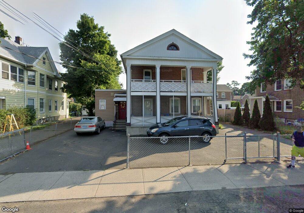
823 Boston Ave Unit 829 Bridgeport, CT 06610
North Bridgeport NeighborhoodEstimated Value: $379,844 - $463,000
6
Beds
2
Baths
2,319
Sq Ft
$177/Sq Ft
Est. Value
About This Home
This home is located at 823 Boston Ave Unit 829, Bridgeport, CT 06610 and is currently estimated at $410,961, approximately $177 per square foot. 823 Boston Ave Unit 829 is a home located in Fairfield County with nearby schools including Beardsley School, Harding High School, and Achievement First Bridgeport Academy Elementary School.
Ownership History
Date
Name
Owned For
Owner Type
Purchase Details
Closed on
Jul 19, 1994
Sold by
Collins Helen E
Bought by
Martinez Manuel and Martinez Juana R
Current Estimated Value
Home Financials for this Owner
Home Financials are based on the most recent Mortgage that was taken out on this home.
Original Mortgage
$31,500
Interest Rate
4.63%
Mortgage Type
Unknown
Create a Home Valuation Report for This Property
The Home Valuation Report is an in-depth analysis detailing your home's value as well as a comparison with similar homes in the area
Home Values in the Area
Average Home Value in this Area
Purchase History
| Date | Buyer | Sale Price | Title Company |
|---|---|---|---|
| Martinez Manuel | $35,990 | -- | |
| Martinez Manuel | $35,990 | -- |
Source: Public Records
Mortgage History
| Date | Status | Borrower | Loan Amount |
|---|---|---|---|
| Closed | Martinez Manuel | $62,000 | |
| Closed | Martinez Manuel | $31,500 |
Source: Public Records
Tax History Compared to Growth
Tax History
| Year | Tax Paid | Tax Assessment Tax Assessment Total Assessment is a certain percentage of the fair market value that is determined by local assessors to be the total taxable value of land and additions on the property. | Land | Improvement |
|---|---|---|---|---|
| 2025 | $5,946 | $136,848 | $33,298 | $103,550 |
| 2024 | $5,946 | $136,848 | $33,298 | $103,550 |
| 2023 | $5,946 | $136,848 | $33,298 | $103,550 |
| 2022 | $5,946 | $136,848 | $33,298 | $103,550 |
| 2021 | $5,946 | $136,848 | $33,298 | $103,550 |
| 2020 | $5,439 | $100,740 | $15,760 | $84,980 |
| 2019 | $5,439 | $100,740 | $15,760 | $84,980 |
| 2018 | $5,477 | $100,740 | $15,760 | $84,980 |
| 2017 | $5,477 | $100,740 | $15,760 | $84,980 |
| 2016 | $5,477 | $100,740 | $15,760 | $84,980 |
| 2015 | $6,201 | $146,950 | $30,520 | $116,430 |
| 2014 | $6,201 | $146,950 | $30,520 | $116,430 |
Source: Public Records
Map
Nearby Homes
- 110 Asylum St
- 105 Asylum St
- 50 Goddard Ave
- 202 Goddard Ave
- 199 Bradley St Unit 203
- 148 Orchard St
- 1218 Kossuth St
- 1014 Noble Ave
- 502 Berkshire Ave
- 142 Palm St
- 2031 E Main St
- 438 Park St
- 1248 Pembroke St
- 695 Shelton St
- 291 Stillman St
- 100 Putnam St
- 957 William St Unit A
- 287 Dover St Unit 293
- 83 Berkeley Place Unit 85
- 369 Park St
- 841 Boston Ave
- 25 Colony St Unit 27
- 35 Colony St Unit 37
- 863 Boston Ave
- 20 Colony St Unit 24
- 34 Asylum St
- 38 Standish St
- 49 Colony St
- 30 Standish St
- 30 Colony St Unit 32
- 50 Standish St
- 869 Boston Ave
- 20 Standish St
- 42 Colony St Unit 44
- 53 Colony St
- 50 Colony St Unit 54
- 761 Boston Ave
- 44 Colony St
- 54 Asylum St Unit 1
- 54 Asylum St Unit 2