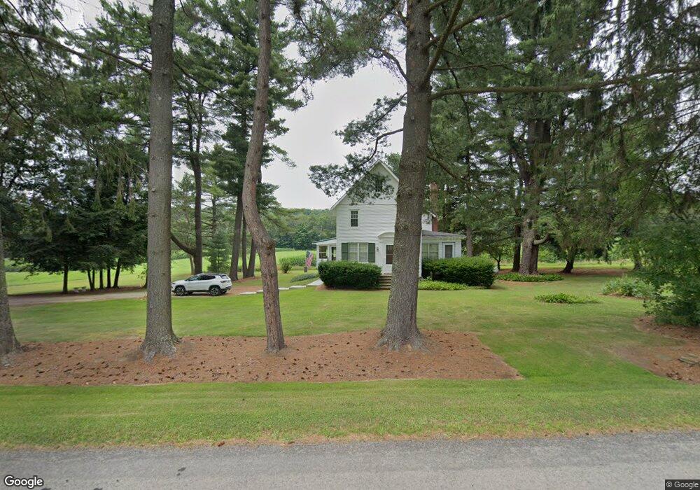
823 Brookland Rd Coudersport, PA 16915
Estimated Value: $65,933 - $171,000
--
Bed
--
Bath
760
Sq Ft
$159/Sq Ft
Est. Value
About This Home
This home is located at 823 Brookland Rd, Coudersport, PA 16915 and is currently estimated at $120,483, approximately $158 per square foot. 823 Brookland Rd is a home located in Potter County with nearby schools including Coudersport Area Elementary School and Coudersport Area Junior/Senior High School.
Ownership History
Date
Name
Owned For
Owner Type
Purchase Details
Closed on
Oct 17, 2016
Sold by
Reese Timothy G and Reese Michele D
Bought by
Reese Henry L and Reese Rachel S
Current Estimated Value
Purchase Details
Closed on
Dec 14, 2007
Sold by
Reese Alyce G
Bought by
Reese Timothy G and Reese Michele D
Home Financials for this Owner
Home Financials are based on the most recent Mortgage that was taken out on this home.
Original Mortgage
$53,000
Interest Rate
5.94%
Mortgage Type
New Conventional
Create a Home Valuation Report for This Property
The Home Valuation Report is an in-depth analysis detailing your home's value as well as a comparison with similar homes in the area
Home Values in the Area
Average Home Value in this Area
Purchase History
| Date | Buyer | Sale Price | Title Company |
|---|---|---|---|
| Reese Henry L | $66,000 | None Available | |
| Reese Timothy G | $92,000 | None Available |
Source: Public Records
Mortgage History
| Date | Status | Borrower | Loan Amount |
|---|---|---|---|
| Previous Owner | Reese Timothy G | $53,000 |
Source: Public Records
Tax History Compared to Growth
Tax History
| Year | Tax Paid | Tax Assessment Tax Assessment Total Assessment is a certain percentage of the fair market value that is determined by local assessors to be the total taxable value of land and additions on the property. | Land | Improvement |
|---|---|---|---|---|
| 2025 | $1,522 | $20,330 | $2,830 | $17,500 |
| 2024 | $1,410 | $20,330 | $2,830 | $17,500 |
| 2023 | $0 | $20,330 | $2,830 | $17,500 |
| 2022 | $1,298 | $20,330 | $2,830 | $17,500 |
| 2021 | $1,339 | $20,330 | $2,830 | $17,500 |
| 2020 | $1,339 | $20,330 | $2,830 | $17,500 |
| 2019 | $1,339 | $20,330 | $2,830 | $17,500 |
| 2018 | $1,318 | $20,330 | $2,830 | $17,500 |
| 2017 | -- | $20,330 | $2,830 | $17,500 |
| 2016 | $1,298 | $20,330 | $2,830 | $17,500 |
| 2015 | -- | $20,330 | $2,830 | $17,500 |
| 2012 | -- | $20,330 | $2,830 | $17,500 |
Source: Public Records
Map
Nearby Homes
- 1060 Brookland Rd
- 00 Brookland Rd
- 1070
- 1060 Brookland Road (Lot C)
- 130 Cherry Springs Rd
- 151 Ice Mine Rd
- 230 Howards Dr
- 860 Cherry Springs Rd
- 514 Kidney Rd
- Lot 4 Crandall St
- 00 Buffalo St
- 32 Phoebe Ln
- 170 Sunrise Ridge Rd
- 15 Troupe Rd
- 478 E 2nd St
- 1574 N Ayers Hill Rd
- 313 N Brookland Rd
- 313 N Brookland Rd N
- 0 N Brookland Rd Unit 31722991
- 787 Us Highway 6
- 832 Brookland Rd
- 771 Brookland Rd
- 813 Sweden Hill Rd
- 882 Brookland Rd
- 1006 & 6 Brookland Rd
- Lot4&5 Brookland Rd
- 0 Brookland Rd
- Lot#5 Brookland Rd
- Lot#4 Brookland Rd
- - Brookland Rd
- 890 Brookland Rd
- 255 Green Forest Rd
- 35 Jeans Ln
- 254 Green Forest Road Off T52059
- 681 Brookland Rd
- 251 Green Forest Rd
- 943 Brookland Rd
- 264 A Frame Rd
- 25 Jeans Ln
- 252 Green Forest Rd