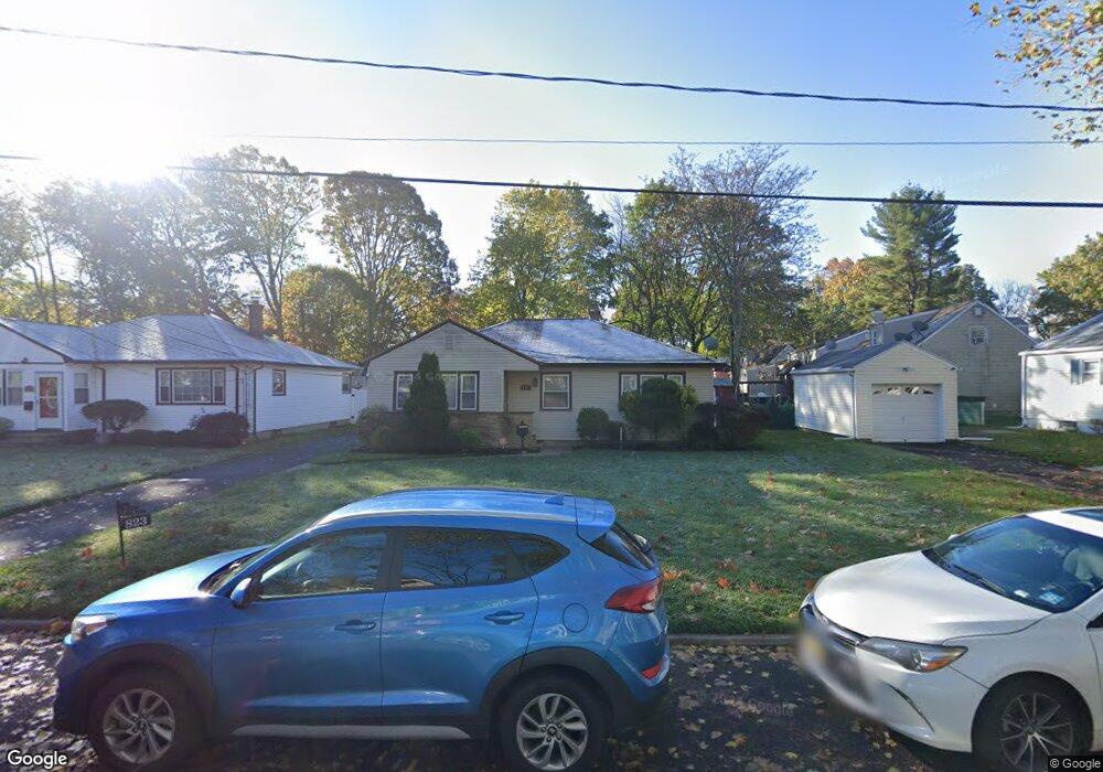
823 Huntington Ave Unit 27 Plainfield, NJ 07063
Estimated Value: $495,000 - $531,000
--
Bed
--
Bath
1,152
Sq Ft
$440/Sq Ft
Est. Value
About This Home
This home is located at 823 Huntington Ave Unit 27, Plainfield, NJ 07063 and is currently estimated at $506,967, approximately $440 per square foot. 823 Huntington Ave Unit 27 is a home located in Union County with nearby schools including Cedarbrook K-8 Center, Hubbard Middle School, and Plainfield High School.
Ownership History
Date
Name
Owned For
Owner Type
Purchase Details
Closed on
Sep 9, 2015
Sold by
Bonner Timothy G and Bonner Angela
Bought by
Haughton Levi S
Current Estimated Value
Purchase Details
Closed on
Aug 12, 2004
Sold by
Bonner Joseph
Bought by
Bonner Timothy
Home Financials for this Owner
Home Financials are based on the most recent Mortgage that was taken out on this home.
Original Mortgage
$160,370
Interest Rate
6.16%
Mortgage Type
FHA
Create a Home Valuation Report for This Property
The Home Valuation Report is an in-depth analysis detailing your home's value as well as a comparison with similar homes in the area
Home Values in the Area
Average Home Value in this Area
Purchase History
| Date | Buyer | Sale Price | Title Company |
|---|---|---|---|
| Haughton Levi S | $245,400 | -- | |
| Bonner Timothy | $178,000 | -- |
Source: Public Records
Mortgage History
| Date | Status | Borrower | Loan Amount |
|---|---|---|---|
| Previous Owner | Bonner Timothy | $160,370 |
Source: Public Records
Tax History Compared to Growth
Tax History
| Year | Tax Paid | Tax Assessment Tax Assessment Total Assessment is a certain percentage of the fair market value that is determined by local assessors to be the total taxable value of land and additions on the property. | Land | Improvement |
|---|---|---|---|---|
| 2025 | $9,649 | $110,500 | $39,900 | $70,600 |
| 2024 | $9,554 | $110,500 | $39,900 | $70,600 |
| 2023 | $9,554 | $110,500 | $39,900 | $70,600 |
| 2022 | $9,347 | $110,500 | $39,900 | $70,600 |
| 2021 | $9,265 | $110,500 | $39,900 | $70,600 |
| 2020 | $9,239 | $110,500 | $39,900 | $70,600 |
| 2019 | $9,239 | $110,500 | $39,900 | $70,600 |
| 2018 | $9,046 | $110,500 | $39,900 | $70,600 |
| 2017 | $8,825 | $110,500 | $39,900 | $70,600 |
| 2016 | $8,644 | $110,500 | $39,900 | $70,600 |
| 2015 | $8,389 | $110,500 | $39,900 | $70,600 |
| 2014 | -- | $110,500 | $39,900 | $70,600 |
Source: Public Records
Map
Nearby Homes
- 1221 Grant Ave Unit 23
- 909 Sherman Ave
- 916 Sherman Ave
- 814 Sherman Ave Unit 18
- 905 Stelle Ave Unit 7
- 1210 Maltby Ave
- 139 Palmer Ave
- 824 Monroe Ave Unit 26
- 105 Firth St
- 917 Tompkins Ave
- 551 Melrose Ave
- 946 W 7th St Unit 48
- 413 W 8th St
- 717 W 7th St
- 950 W 6th St Unit 52
- 610 Darrow Ave Unit 16
- 4 Rauer Ct
- 1400 Kenyon Ave
- 911 13 Plainfield Ave
- 911 Plainfield Ave Unit 13
- 823-27 Huntington Ave
- 819 Huntington Ave Unit 21
- 939 Maltby Ave Unit 43
- 933 Maltby Ave Unit 37
- 937 Maltby Ave
- 813 Huntington Ave Unit 17
- 945 Maltby Ave Unit 49
- 947 Maltby Ave
- 951 Maltby Ave Unit 55
- 818 Wadsworth Ave Unit 20
- 822 Wadsworth Ave Unit 26
- 822-26 Wadsworth Ave
- 818-20 Wadsworth Ave
- 812 Wadsworth Ave Unit 16
- 818 Huntington Ave Unit 26
- 828 Huntington Ave Unit 34
- 957 Maltby Ave Unit 61
- 1304 Grant Ave
- 1306 Grant Ave Unit 8
- 1306 1306-1308 Marion Barry Ave SE Unit A