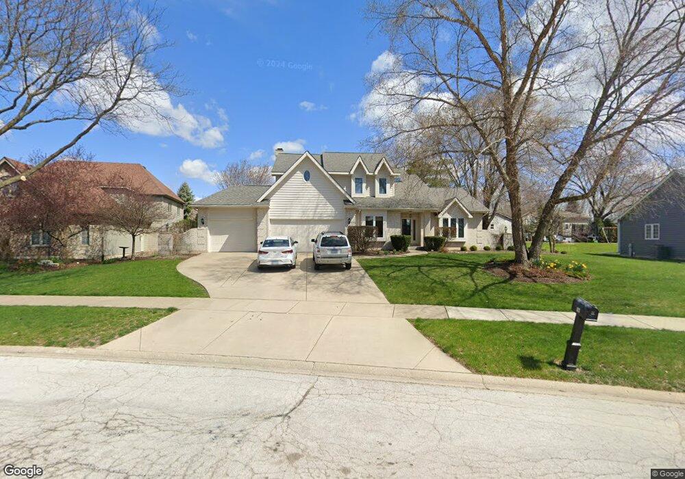
823 Queens Gate Cir Unit 1 Sugar Grove, IL 60554
Estimated Value: $451,000 - $521,000
--
Bed
--
Bath
2,360
Sq Ft
$208/Sq Ft
Est. Value
About This Home
This home is located at 823 Queens Gate Cir Unit 1, Sugar Grove, IL 60554 and is currently estimated at $491,585, approximately $208 per square foot. 823 Queens Gate Cir Unit 1 is a home located in Kane County with nearby schools including Kaneland Mcdole Elementary School, Harter Middle School, and Kaneland High School.
Ownership History
Date
Name
Owned For
Owner Type
Purchase Details
Closed on
Sep 11, 1996
Sold by
Nationwide Mutual Insurance Company
Bought by
Gebauer Charles L and Gebauer Cynthia S
Current Estimated Value
Home Financials for this Owner
Home Financials are based on the most recent Mortgage that was taken out on this home.
Original Mortgage
$191,200
Interest Rate
7.97%
Purchase Details
Closed on
Jul 14, 1995
Sold by
Cordingly Thomas B and Cordingly Sandra Smith
Bought by
Nationwide Mutual Insurance Company
Create a Home Valuation Report for This Property
The Home Valuation Report is an in-depth analysis detailing your home's value as well as a comparison with similar homes in the area
Home Values in the Area
Average Home Value in this Area
Purchase History
| Date | Buyer | Sale Price | Title Company |
|---|---|---|---|
| Gebauer Charles L | $239,000 | -- | |
| Nationwide Mutual Insurance Company | $280,000 | Century Title Co |
Source: Public Records
Mortgage History
| Date | Status | Borrower | Loan Amount |
|---|---|---|---|
| Previous Owner | Gebauer Charles L | $191,200 |
Source: Public Records
Tax History Compared to Growth
Tax History
| Year | Tax Paid | Tax Assessment Tax Assessment Total Assessment is a certain percentage of the fair market value that is determined by local assessors to be the total taxable value of land and additions on the property. | Land | Improvement |
|---|---|---|---|---|
| 2024 | $10,323 | $137,613 | $34,314 | $103,299 |
| 2023 | $9,907 | $124,110 | $30,947 | $93,163 |
| 2022 | $9,765 | $114,577 | $28,570 | $86,007 |
| 2021 | $9,387 | $109,038 | $27,189 | $81,849 |
| 2020 | $9,725 | $106,712 | $26,609 | $80,103 |
| 2019 | $9,575 | $103,223 | $25,739 | $77,484 |
| 2018 | $9,177 | $96,911 | $27,157 | $69,754 |
| 2017 | $8,895 | $92,551 | $25,935 | $66,616 |
| 2016 | $8,682 | $88,472 | $24,792 | $63,680 |
| 2015 | -- | $81,735 | $23,067 | $58,668 |
| 2014 | -- | $78,156 | $22,057 | $56,099 |
| 2013 | -- | $78,978 | $22,289 | $56,689 |
Source: Public Records
Map
Nearby Homes
- 954 Black Walnut Dr
- 933 Lakeridge Ct
- 947 Lakeridge Ct
- 868 Edgewood Dr
- 905 Merrill New Rd
- 778 Black Walnut Ct
- 781 Manor Hill Place
- 757 Merrill New Rd Unit 7
- 611 Pine St
- 684 Greenfield Rd
- 706 Brighton Dr
- 693 Greenfield Rd
- 670 Sheffield Cir
- 7 Douglas Dr Unit 3
- 1070 Wheatfield Ave
- 352 Normandie Dr
- Lot 30 Chestnut Hill Ln
- 966 Wheatfield Ave
- 1155 Mcdole Dr
- 917 Wheatfield Ave
- 825 Queens Gate Cir
- 821 Queens Gate Cir
- 41W455 Denny Rd
- 827 Queens Gate Cir Unit 1
- 822 Queens Gate Cir
- 824 Queens Gate Cir
- 820 Queens Gate Cir
- 829 Queens Gate Cir
- 826 Queens Gate Cir
- 818 Queens Gate Cir Unit 1
- 831 Queens Gate Cir
- 817 Queens Gate Cir
- 828 Queens Gate Cir
- 744 Pembridge Place
- 742 Pembridge Place
- 815 Queens Gate Cir Unit 1
- 833 Queens Gate Cir Unit 1
- 830 Queens Gate Cir
- 925 Edgewood Dr
- 929 Edgewood Dr