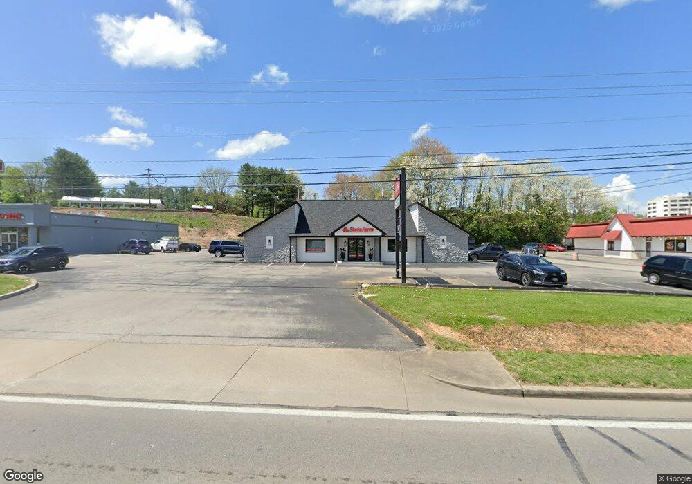
823 S Highway 27 Somerset, KY 42501
Estimated Value: $713,908
--
Bed
--
Bath
3,246
Sq Ft
$220/Sq Ft
Est. Value
About This Home
This home is located at 823 S Highway 27, Somerset, KY 42501 and is currently estimated at $713,908, approximately $219 per square foot. 823 S Highway 27 is a home located in Pulaski County with nearby schools including Hopkins Elementary School, Meece Middle School, and Somerset High School.
Ownership History
Date
Name
Owned For
Owner Type
Purchase Details
Closed on
Apr 29, 2022
Sold by
Losey Philip H and Losey Cherry J
Bought by
Baldwood Properties Llc
Current Estimated Value
Home Financials for this Owner
Home Financials are based on the most recent Mortgage that was taken out on this home.
Original Mortgage
$650,000
Outstanding Balance
$597,294
Interest Rate
4.48%
Mortgage Type
Construction
Estimated Equity
$116,614
Purchase Details
Closed on
Feb 8, 2006
Sold by
Kenneth Ford and Kenneth Sue
Bought by
Losey Philip Herbert and Losey Joline Cherry
Create a Home Valuation Report for This Property
The Home Valuation Report is an in-depth analysis detailing your home's value as well as a comparison with similar homes in the area
Home Values in the Area
Average Home Value in this Area
Purchase History
| Date | Buyer | Sale Price | Title Company |
|---|---|---|---|
| Baldwood Properties Llc | $600,000 | Five Star Title | |
| Losey Philip Herbert | $500,000 | -- |
Source: Public Records
Mortgage History
| Date | Status | Borrower | Loan Amount |
|---|---|---|---|
| Open | Baldwood Properties Llc | $650,000 |
Source: Public Records
Tax History Compared to Growth
Tax History
| Year | Tax Paid | Tax Assessment Tax Assessment Total Assessment is a certain percentage of the fair market value that is determined by local assessors to be the total taxable value of land and additions on the property. | Land | Improvement |
|---|---|---|---|---|
| 2025 | $1,542 | $600,000 | $100,000 | $500,000 |
| 2024 | $1,511 | $600,000 | $100,000 | $500,000 |
| 2023 | $1,564 | $600,000 | $100,000 | $500,000 |
| 2022 | $797 | $300,000 | $300,000 | $0 |
| 2021 | $837 | $300,000 | $300,000 | $0 |
| 2020 | $848 | $300,000 | $300,000 | $0 |
| 2019 | $1,430 | $500,000 | $500,000 | $0 |
| 2018 | $1,423 | $500,000 | $500,000 | $0 |
| 2017 | $1,420 | $500,000 | $500,000 | $0 |
| 2016 | $1,420 | $500,000 | $500,000 | $0 |
| 2015 | $1,418 | $500,000 | $500,000 | $0 |
| 2014 | $1,410 | $500,000 | $500,000 | $0 |
Source: Public Records
Map
Nearby Homes
- 799 S Highway 27
- 1084 S Highway 27
- 315 Langdon St
- Lot 5 Wayman's Way
- 9,10,11,12 Union St
- 76 Thannoli Dr
- 108 Linda Ln
- 22.65 AC S Hwy 27 St
- 341 Langdon St
- 202 Debbie Ln
- 117 Todd St
- 144 Bogle Office Park Dr
- 1024 W Columbia St
- 1033 W Columbia St
- 114AC Sam Jones Dr
- 106 Walker Ln
- 122 Griffin Ave
- 113 Griffin Ave
- 426 S Main St
- 400 Oak Hill Rd
- 823 S Highway 27 Unit 1
- 823 S Highway 27
- 121 Edwards St
- 119 W Elrod Rd
- 406 Edwards St
- 312 Sallee St
- 408 Edwards St
- 306 Sallee St
- 739 S Highway 27
- 0 Coomer St
- 0 Coomer St
- 0 Coomer St Unit 3011016
- 0 Coomer St Unit 3010931
- 115 Trade Park Dr
- 738 S Highway 27
- 304 Sallee St
- 304 Sallee St
- 1 Second St
- 71 Imaging Dr
- 210 Elrod Ave