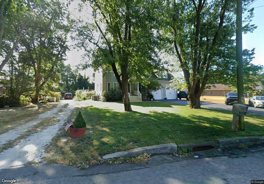
823 Seashore Rd Cape May, NJ 08204
Estimated Value: $628,941 - $1,020,000
--
Bed
--
Bath
2,134
Sq Ft
$368/Sq Ft
Est. Value
About This Home
This home is located at 823 Seashore Rd, Cape May, NJ 08204 and is currently estimated at $784,735, approximately $367 per square foot. 823 Seashore Rd is a home located in Cape May County with nearby schools including Carl T. Mitnick School, David C. Douglass Veterans Memorial School, and Maud Abrams School.
Ownership History
Date
Name
Owned For
Owner Type
Purchase Details
Closed on
Jul 14, 2005
Sold by
Bentivenga Michael J and Bentivenga Daryl E
Bought by
Eck Michael E and Eck Stacy L
Current Estimated Value
Home Financials for this Owner
Home Financials are based on the most recent Mortgage that was taken out on this home.
Original Mortgage
$11,950
Outstanding Balance
$6,277
Interest Rate
5.66%
Mortgage Type
Credit Line Revolving
Estimated Equity
$778,458
Purchase Details
Closed on
Oct 7, 1992
Sold by
Eck Wendy W
Bought by
Bentivenga Michael J and Bentivenga Daryl E
Purchase Details
Closed on
Oct 12, 1988
Sold by
Swain Rick and Swain Nancy
Bought by
Eck Wendy
Create a Home Valuation Report for This Property
The Home Valuation Report is an in-depth analysis detailing your home's value as well as a comparison with similar homes in the area
Home Values in the Area
Average Home Value in this Area
Purchase History
| Date | Buyer | Sale Price | Title Company |
|---|---|---|---|
| Eck Michael E | $120,000 | -- | |
| Bentivenga Michael J | $75,000 | -- | |
| Eck Wendy | $81,500 | -- |
Source: Public Records
Mortgage History
| Date | Status | Borrower | Loan Amount |
|---|---|---|---|
| Open | Eck Michael E | $11,950 | |
| Open | Eck Michael E | $96,000 |
Source: Public Records
Tax History Compared to Growth
Tax History
| Year | Tax Paid | Tax Assessment Tax Assessment Total Assessment is a certain percentage of the fair market value that is determined by local assessors to be the total taxable value of land and additions on the property. | Land | Improvement |
|---|---|---|---|---|
| 2025 | $6,164 | $302,900 | $95,300 | $207,600 |
| 2024 | $6,164 | $302,900 | $95,300 | $207,600 |
| 2023 | $6,070 | $302,900 | $95,300 | $207,600 |
| 2022 | $5,885 | $302,900 | $95,300 | $207,600 |
| 2021 | $5,695 | $302,900 | $95,300 | $207,600 |
| 2020 | $5,610 | $302,900 | $95,300 | $207,600 |
| 2019 | $5,458 | $302,900 | $95,300 | $207,600 |
| 2018 | $5,331 | $302,900 | $95,300 | $207,600 |
| 2017 | $5,334 | $302,900 | $95,300 | $207,600 |
| 2016 | $5,261 | $302,900 | $95,300 | $207,600 |
| 2015 | $5,092 | $302,900 | $95,300 | $207,600 |
| 2014 | $4,925 | $302,900 | $95,300 | $207,600 |
Source: Public Records
Map
Nearby Homes
- 808 Westfield Ave
- 753 Route 9 Unit U
- 818 Shunpike Rd
- 313 Nantucket Dr
- 668 Crawford Rd
- 709 Route 9 Unit 321
- 709 Route 9 Unit 123
- 709 Route 9
- 709 Route 9 Unit 126
- 709 U S 9 Unit 365
- 709 U S 9
- 709 U S 9 Unit 698
- 424 Portsmouth Rd
- 11 Earl Dr
- 3 Earl Dr
- 120 Victoria Dr
- 669 U S 9
- 1031 Seashore Rd
- 3 S Church St
- 8 S Church St
- 821 Seashore Rd
- 825 Seashore Rd
- 819 Seashore Rd
- 819 Seashore Rd
- 817 Seashore Rd
- 818 Seashore Rd
- 820A Seashore Rd
- 820 Seashore Rd
- 820 Seashore Rd Unit 820A
- 820B Seashore Rd
- 822 Seashore Rd
- 815 Seashore Rd
- 814 Seashore Rd
- 735 Town Bank Rd
- 833 Seashore Rd
- 835 Seashore Rd
- 813 Seashore Rd
- 810 Seashore Rd
- 811 Seashore Rd
- 726 Town Bank Rd