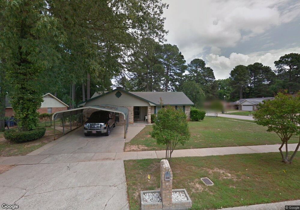
8231 Burning Tree Dr Shreveport, LA 71108
Hyde Park-Brookwood-Southern Hills NeighborhoodEstimated Value: $117,000 - $159,000
3
Beds
2
Baths
1,329
Sq Ft
$100/Sq Ft
Est. Value
About This Home
This home is located at 8231 Burning Tree Dr, Shreveport, LA 71108 and is currently estimated at $133,098, approximately $100 per square foot. 8231 Burning Tree Dr is a home located in Caddo Parish with nearby schools including Fairfield Magnet School, Judson Fundamental Elementary School, and Claiborne Fundamental Elementary School.
Ownership History
Date
Name
Owned For
Owner Type
Purchase Details
Closed on
Mar 16, 2005
Sold by
Patterson Sandra R and Patterson James D
Bought by
Patterson James D and Patterson Sandra R
Current Estimated Value
Home Financials for this Owner
Home Financials are based on the most recent Mortgage that was taken out on this home.
Original Mortgage
$102,400
Interest Rate
6.9%
Mortgage Type
Adjustable Rate Mortgage/ARM
Create a Home Valuation Report for This Property
The Home Valuation Report is an in-depth analysis detailing your home's value as well as a comparison with similar homes in the area
Home Values in the Area
Average Home Value in this Area
Purchase History
| Date | Buyer | Sale Price | Title Company |
|---|---|---|---|
| Patterson James D | -- | Pierremont Abstract & Title |
Source: Public Records
Mortgage History
| Date | Status | Borrower | Loan Amount |
|---|---|---|---|
| Closed | Patterson James D | $102,400 |
Source: Public Records
Tax History Compared to Growth
Tax History
| Year | Tax Paid | Tax Assessment Tax Assessment Total Assessment is a certain percentage of the fair market value that is determined by local assessors to be the total taxable value of land and additions on the property. | Land | Improvement |
|---|---|---|---|---|
| 2024 | $1,700 | $10,904 | $1,005 | $9,899 |
| 2023 | $1,590 | $9,978 | $957 | $9,021 |
| 2022 | $1,590 | $9,978 | $957 | $9,021 |
| 2021 | $1,566 | $9,978 | $957 | $9,021 |
| 2020 | $1,566 | $9,978 | $957 | $9,021 |
| 2019 | $1,544 | $9,545 | $957 | $8,588 |
| 2018 | $263 | $9,545 | $957 | $8,588 |
| 2017 | $1,568 | $9,545 | $957 | $8,588 |
| 2015 | $303 | $9,840 | $960 | $8,880 |
| 2014 | $306 | $9,840 | $960 | $8,880 |
| 2013 | -- | $9,840 | $960 | $8,880 |
Source: Public Records
Map
Nearby Homes
- 8321 Kingston Rd
- 745 Kingridge Place
- 2092 Pinecroft Cir
- 710 Kingridge Place
- 742 Woodmont Place
- 2025 Amelia Ave
- 725 Meadowdale Place
- 610 Meadowdale Place
- 649 Woodmont Place
- 636 Woodmont Place
- 1619 Applewood Dr
- 8506 Westbrook Place
- 1838 Shady Ln
- 2301 Mccutcheon Ave
- 8825 Coyth Ln
- 570 Sally Ann Dr
- 1729 S Reunion Dr
- 0 Old Mansfield
- 635 Browning St
- 2533 Crape Myrtle St
- 8227 Burning Tree Dr
- 917 Chimney Rock Place
- 8223 Burning Tree Dr
- 922 Chimney Rock Place
- 931 Chimney Rock Place
- 926 Chimney Rock Place
- 913 Chimney Rock Place
- 918 Chimney Rock Place
- 928 Chimney Rock Place
- 8226 Burning Tree Dr
- 914 Chimney Rock Place
- 8217 Burning Tree Cir
- 935 Chimney Rock Place
- 8220 Burning Tree Dr
- 909 Chimney Rock Place
- 930 Chimney Rock Place
- 8219 Burning Tree Dr
- 912 Chimney Rock Place
- 8215 Burning Tree Cir
- 921 Lazywood Ln