8233 Tory Rd Unit 156 Springfield, VA 22152
Estimated Value: $346,000 - $391,000
2
Beds
1
Bath
992
Sq Ft
$368/Sq Ft
Est. Value
About This Home
This home is located at 8233 Tory Rd Unit 156, Springfield, VA 22152 and is currently estimated at $365,055, approximately $367 per square foot. 8233 Tory Rd Unit 156 is a home located in Fairfax County with nearby schools including Cardinal Forest Elementary School, Irving Middle School, and West Springfield High School.
Ownership History
Date
Name
Owned For
Owner Type
Purchase Details
Closed on
Nov 17, 2003
Sold by
Quaid Joseph R
Bought by
Rocha Ada D
Current Estimated Value
Home Financials for this Owner
Home Financials are based on the most recent Mortgage that was taken out on this home.
Original Mortgage
$148,050
Outstanding Balance
$67,729
Interest Rate
5.81%
Mortgage Type
Purchase Money Mortgage
Estimated Equity
$297,326
Create a Home Valuation Report for This Property
The Home Valuation Report is an in-depth analysis detailing your home's value as well as a comparison with similar homes in the area
Home Values in the Area
Average Home Value in this Area
Purchase History
| Date | Buyer | Sale Price | Title Company |
|---|---|---|---|
| Rocha Ada D | $164,500 | -- |
Source: Public Records
Mortgage History
| Date | Status | Borrower | Loan Amount |
|---|---|---|---|
| Open | Rocha Ada D | $148,050 |
Source: Public Records
Tax History
| Year | Tax Paid | Tax Assessment Tax Assessment Total Assessment is a certain percentage of the fair market value that is determined by local assessors to be the total taxable value of land and additions on the property. | Land | Improvement |
|---|---|---|---|---|
| 2025 | $3,714 | $336,610 | $67,000 | $269,610 |
| 2024 | $3,714 | $320,580 | $64,000 | $256,580 |
| 2023 | $3,479 | $308,250 | $62,000 | $246,250 |
| 2022 | $3,341 | $292,180 | $58,000 | $234,180 |
| 2021 | $3,329 | $283,670 | $57,000 | $226,670 |
| 2020 | $3,167 | $267,610 | $54,000 | $213,610 |
| 2019 | $3,002 | $253,660 | $50,000 | $203,660 |
| 2018 | $2,783 | $241,960 | $48,000 | $193,960 |
| 2017 | $2,577 | $221,980 | $44,000 | $177,980 |
| 2016 | $2,572 | $221,980 | $44,000 | $177,980 |
Source: Public Records
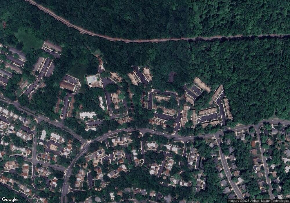
Map
Nearby Homes
- 5927 Bayshire Rd Unit 115
- 5912 Minutemen Rd Unit 295
- 5925 Minutemen Rd Unit 248
- 5921 Minutemen Rd Unit 246
- 8100 Langbrook Rd
- 8358D Dunham Ct Unit 622
- 6025 Greeley Blvd
- 5778 Rexford Ct Unit 5778B
- 8519 Westover Ct Unit 763
- 5818 Torington Dr Unit 859
- 6102 Sherborn Ln
- 8347 Carrleigh Pkwy
- 5948 Hall St
- 6112 Harmon Place
- 5711 Heming Ave
- 6020 Forrest Hollow Ln
- 8674 Center Rd Unit 1
- 8601 Kenilworth Dr
- 6143 Green Hollow Ct
- 8621 Kenilworth Dr
- 8235 Tory Rd Unit 157
- 8231 Tory Rd Unit 155
- 8229 Tory Rd Unit 154
- 8227 Tory Rd Unit 153
- 8225 Tory Rd Unit 152
- 8223 Tory Rd Unit 151
- 8221 Tory Rd Unit 150
- 8219 Tory Rd Unit 149
- 8217 Tory Rd Unit 148
- 8215 Tory Rd Unit 147
- 5931 Noblestown Rd Unit 51
- 5929 Noblestown Rd Unit 50
- 5927 Noblestown Rd Unit 49
- 5925 Noblestown Rd Unit 48
- 5923 Noblestown Rd Unit 47
- 5921 Noblestown Rd Unit 46
- 5919 Noblestown Rd Unit 45
- 5917 Noblestown Rd Unit 44
- 5915 Noblestown Rd Unit 43
- 5913 Noblestown Rd Unit 42