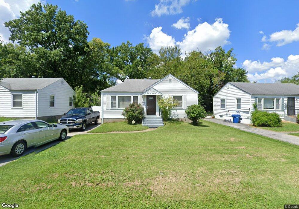
8235 Fay Dr Saint Louis, MO 63134
Estimated Value: $67,000 - $101,000
2
Beds
1
Bath
792
Sq Ft
$104/Sq Ft
Est. Value
About This Home
This home is located at 8235 Fay Dr, Saint Louis, MO 63134 and is currently estimated at $82,153, approximately $103 per square foot. 8235 Fay Dr is a home located in St. Louis County with nearby schools including Berkeley Elementary School, STEAM Academy at McCluer South-Berkeley High School, and Blessed Teresa of Calcutta Catholic School.
Ownership History
Date
Name
Owned For
Owner Type
Purchase Details
Closed on
Mar 2, 2015
Sold by
Know Weigh Llc
Bought by
Brookview Apartments Llc
Current Estimated Value
Purchase Details
Closed on
Apr 25, 1997
Sold by
Abbott Dennis B and Abbott Kathy S
Bought by
Rogers Robert G
Home Financials for this Owner
Home Financials are based on the most recent Mortgage that was taken out on this home.
Original Mortgage
$39,900
Interest Rate
7.92%
Mortgage Type
VA
Create a Home Valuation Report for This Property
The Home Valuation Report is an in-depth analysis detailing your home's value as well as a comparison with similar homes in the area
Home Values in the Area
Average Home Value in this Area
Purchase History
| Date | Buyer | Sale Price | Title Company |
|---|---|---|---|
| Brookview Apartments Llc | -- | Title Partners Agency Llc | |
| Rogers Robert G | -- | -- |
Source: Public Records
Mortgage History
| Date | Status | Borrower | Loan Amount |
|---|---|---|---|
| Previous Owner | Rogers Robert G | $39,900 |
Source: Public Records
Tax History Compared to Growth
Tax History
| Year | Tax Paid | Tax Assessment Tax Assessment Total Assessment is a certain percentage of the fair market value that is determined by local assessors to be the total taxable value of land and additions on the property. | Land | Improvement |
|---|---|---|---|---|
| 2025 | $935 | $12,810 | $1,180 | $11,630 |
| 2024 | $935 | $12,070 | $1,560 | $10,510 |
| 2023 | $923 | $12,070 | $1,560 | $10,510 |
| 2022 | $637 | $7,180 | $1,180 | $6,000 |
| 2021 | $633 | $7,180 | $1,180 | $6,000 |
| 2020 | $544 | $5,700 | $1,200 | $4,500 |
| 2019 | $521 | $5,700 | $1,200 | $4,500 |
| 2018 | $528 | $5,210 | $1,220 | $3,990 |
| 2017 | $525 | $5,210 | $1,220 | $3,990 |
| 2016 | $780 | $7,600 | $1,600 | $6,000 |
| 2015 | $757 | $7,600 | $1,600 | $6,000 |
| 2014 | $759 | $7,600 | $1,080 | $6,520 |
Source: Public Records
Map
Nearby Homes
- 8306 Whitewater Dr
- 8235 Zoe Dr
- 6135 Shillington Dr
- 8042 Patterson Dr
- 6005 Shillington Dr
- 6106 Jackson Ave
- 6029 Washington Ave
- 6016 Shillington Dr
- 8219 Davenport Dr
- 8027 Aline Ave
- 117 Henquin Dr
- 8140 Packard Ave
- 116 Henquin Dr
- 6029 Evergreen Blvd
- 213 Henquin Dr
- 6315 Washington Ave
- 324 Newell Dr
- 6153 Hancock Ave
- 6315 Jackson Ave
- 6013 Garfield Ave