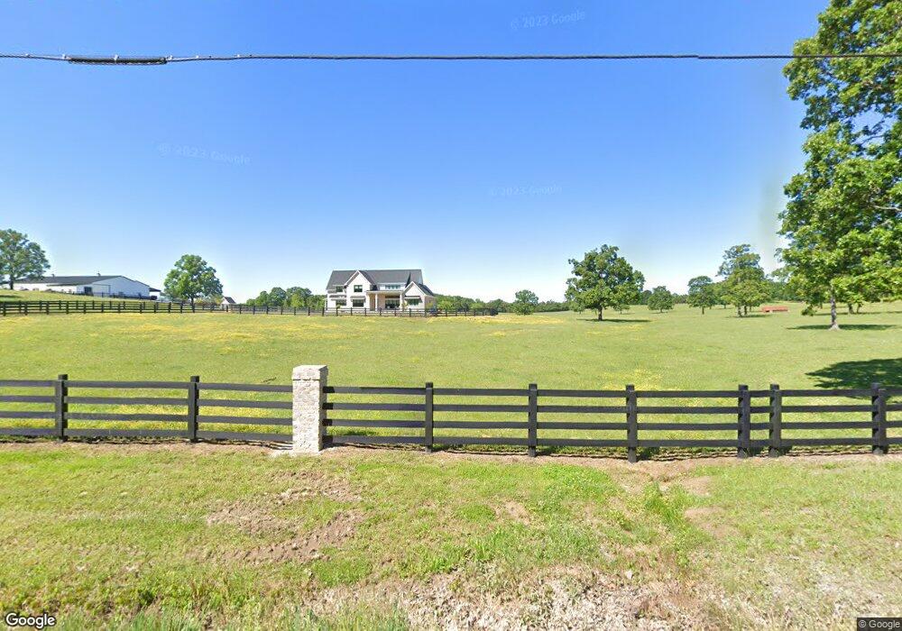
8235 Nc Hwy 200 Hwy Stanfield, NC 28163
Estimated Value: $562,000 - $1,530,845
4
Beds
4
Baths
3,769
Sq Ft
$243/Sq Ft
Est. Value
About This Home
This home is located at 8235 Nc Hwy 200 Hwy, Stanfield, NC 28163 and is currently estimated at $914,711, approximately $242 per square foot. 8235 Nc Hwy 200 Hwy is a home with nearby schools including Stanfield Elementary School, West Stanly Middle School, and West Stanly High School.
Ownership History
Date
Name
Owned For
Owner Type
Purchase Details
Closed on
Aug 11, 2020
Sold by
Island Creek Farms Inc
Bought by
Hill N Dale Farms Llc
Current Estimated Value
Home Financials for this Owner
Home Financials are based on the most recent Mortgage that was taken out on this home.
Original Mortgage
$360,000
Outstanding Balance
$252,765
Interest Rate
2.5%
Mortgage Type
Future Advance Clause Open End Mortgage
Estimated Equity
$661,946
Create a Home Valuation Report for This Property
The Home Valuation Report is an in-depth analysis detailing your home's value as well as a comparison with similar homes in the area
Home Values in the Area
Average Home Value in this Area
Purchase History
| Date | Buyer | Sale Price | Title Company |
|---|---|---|---|
| Hill N Dale Farms Llc | $425,000 | Master Title Agency Llc |
Source: Public Records
Mortgage History
| Date | Status | Borrower | Loan Amount |
|---|---|---|---|
| Open | Hill N Dale Farms Llc | $360,000 |
Source: Public Records
Tax History Compared to Growth
Tax History
| Year | Tax Paid | Tax Assessment Tax Assessment Total Assessment is a certain percentage of the fair market value that is determined by local assessors to be the total taxable value of land and additions on the property. | Land | Improvement |
|---|---|---|---|---|
| 2025 | $5,900 | $936,446 | $88,842 | $847,604 |
| 2024 | $5,058 | $692,897 | $66,342 | $626,555 |
| 2023 | $6,369 | $859,222 | $232,667 | $626,555 |
| 2022 | $3,329 | $462,365 | $232,667 | $229,698 |
| 2021 | $1,525 | $214,721 | $214,721 | $0 |
| 2020 | $1,513 | $198,454 | $198,454 | $0 |
| 2019 | $1,528 | $198,454 | $198,454 | $0 |
| 2018 | $1,528 | $198,454 | $198,454 | $0 |
| 2017 | $1,528 | $198,454 | $198,454 | $0 |
| 2016 | $214 | $27,818 | $27,818 | $0 |
| 2015 | $212 | $27,818 | $27,818 | $0 |
| 2014 | $170 | $27,818 | $27,818 | $0 |
Source: Public Records
Map
Nearby Homes
- 10024 Sedgefield Cir
- 12613 Oak Grove Rd
- 12133 Coyle Rd
- 12069 Coyle Rd
- 12093 Coyle Rd
- 13080 Philadelphia Church Rd
- 392 N Carolina 200
- 000 S Love Chapel Rd
- 4152 River Rd Unit A, B & C
- 4152 River Rd Unit B & C
- 331 Polk Ford Rd
- 101 Charlotte St
- 15869 Silver Rd
- 00 Griffin Greene Blvd
- 177 Park View Dr
- Tract B Rock Hole Rd
- Tract A Rock Hole Rd
- 931 Hollow Hill Ct
- 556 Big Lick Rd
- 4790 Polk Ford Rd
- 11774 Gibson River Trail
- 8277 Nc Hwy 200
- 8201 Nc Hwy 200
- 8201 Nc Hwy 200
- 12077 Oak Grove Rd
- 8190 Nc Hwy 200
- 8332 Harvell Rd
- 8228 Nc Hwy 200
- 9605 Oak Grove Rd
- 12059 Oak Grove Rd
- 11759 Dorrie Dr
- 12032 Oak Grove Rd
- 8334 Nc Hwy 200
- 12006 Oak Grove Rd
- 8357 Nc Hwy 200
- 12131 Oak Grove Rd
- 12131 Oak Grove Rd
- 12100 Oak Grove Rd
- 11803 Dorrie Dr
- 9600 Oak Grove Rd