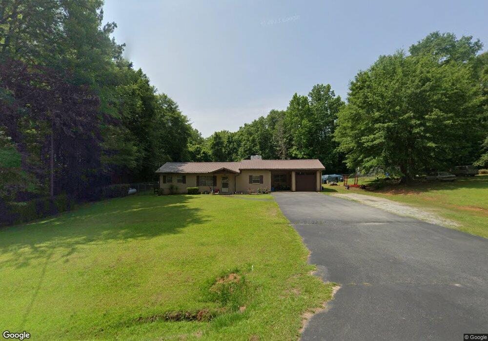
8235 Thomaston Rd Macon, GA 31220
Estimated Value: $143,000 - $222,000
3
Beds
2
Baths
1,836
Sq Ft
$104/Sq Ft
Est. Value
About This Home
This home is located at 8235 Thomaston Rd, Macon, GA 31220 and is currently estimated at $190,612, approximately $103 per square foot. 8235 Thomaston Rd is a home located in Bibb County with nearby schools including Heritage Elementary School, Weaver Middle School, and Westside High School.
Ownership History
Date
Name
Owned For
Owner Type
Purchase Details
Closed on
Apr 11, 2014
Sold by
Lt Acquisitions Llc
Bought by
Aldana Susan Ellen and Aldana Joe David
Current Estimated Value
Home Financials for this Owner
Home Financials are based on the most recent Mortgage that was taken out on this home.
Original Mortgage
$39,920
Outstanding Balance
$1,730
Interest Rate
4%
Mortgage Type
Adjustable Rate Mortgage/ARM
Estimated Equity
$188,882
Purchase Details
Closed on
Nov 9, 1972
Sold by
Griffith Prentice Emerson
Bought by
Prater Howard Jr - Dorothy
Create a Home Valuation Report for This Property
The Home Valuation Report is an in-depth analysis detailing your home's value as well as a comparison with similar homes in the area
Purchase History
| Date | Buyer | Sale Price | Title Company |
|---|---|---|---|
| Aldana Susan Ellen | $49,900 | None Available | |
| Prater Howard Jr - Dorothy | -- | -- |
Source: Public Records
Mortgage History
| Date | Status | Borrower | Loan Amount |
|---|---|---|---|
| Open | Aldana Susan Ellen | $39,920 |
Source: Public Records
Tax History
| Year | Tax Paid | Tax Assessment Tax Assessment Total Assessment is a certain percentage of the fair market value that is determined by local assessors to be the total taxable value of land and additions on the property. | Land | Improvement |
|---|---|---|---|---|
| 2025 | $916 | $44,288 | $7,511 | $36,777 |
| 2024 | $947 | $44,288 | $7,511 | $36,777 |
| 2023 | $446 | $42,555 | $5,778 | $36,777 |
| 2022 | $1,138 | $39,878 | $12,369 | $27,509 |
| 2021 | $1,249 | $39,878 | $12,369 | $27,509 |
| 2020 | $1,276 | $39,878 | $12,369 | $27,509 |
| 2019 | $1,276 | $39,589 | $12,369 | $27,220 |
| 2018 | $2,134 | $39,589 | $12,369 | $27,220 |
| 2017 | $1,221 | $39,589 | $12,369 | $27,220 |
| 2016 | $1,128 | $39,590 | $12,369 | $27,220 |
| 2015 | $1,483 | $37,280 | $12,369 | $24,910 |
| 2014 | $1,486 | $37,280 | $12,369 | $24,910 |
Source: Public Records
Map
Nearby Homes
- 104 Peninsula Ave
- 104 Peninsula Ave Unit LOT 49
- 140 Peninsula Ave
- 402 Harbor Cove Dr
- 402 Harbor Cove Dr Unit 32
- 112 Peninsula Ave
- 156 Peninsula Ave
- 177 Peninsula Ave
- 1175 Barrington Place Way
- 1302 Barrington Place Cove
- 1179 Barrington Place Way
- 1166 Barrington Place Way
- 1162 Barrington Place Way
- 1154 Barrington Place Way
- 1150 Barrington Place Way
- 204 Princeton Ct
- 208 Trellis Walk
- 228 Trellis Walk
- 204 Trellis Walk
- 1409 Barrington Place Terrace
- 100 Peninsula Ave
- 101 Peninsula Ave
- 109 Peninsula Ave
- 113 Peninsula Ave
- 113 Peninsula Ave Unit 45
- 116 Peninsula Ave
- 121 Peninsula Ave
- 8271 Rock Mill Rd
- 122 Peninsula Ave
- 308 Whiskey St
- 315 Whiskey St
- 128 Peninsula Ave
- 8311 Rock Mill Rd
- 129 Peninsula Ave
- 132 Peninsula Ave
- 8251 Rock Mill Rd
- 133 Peninsula Ave
- 312 Whiskey St
- 409 Harbor Cove Dr
- 409 Harbor Cove Dr Unit 37
Your Personal Tour Guide
Ask me questions while you tour the home.