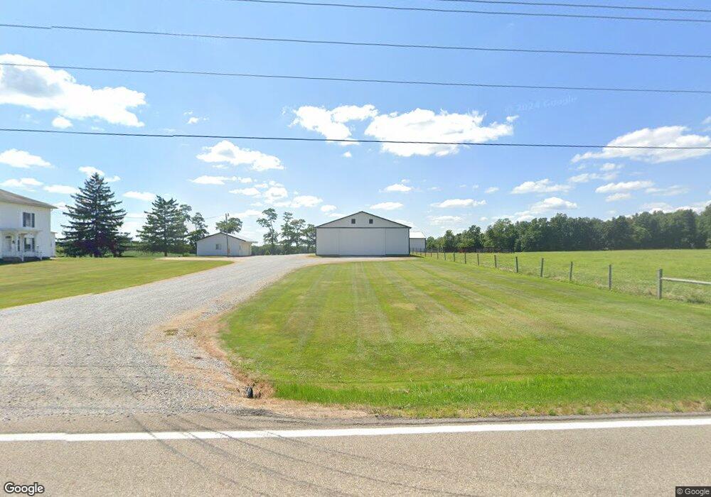
8237 State Route 754 Shreve, OH 44676
Estimated Value: $387,000 - $574,657
--
Bed
1
Bath
2,194
Sq Ft
$213/Sq Ft
Est. Value
About This Home
This home is located at 8237 State Route 754, Shreve, OH 44676 and is currently estimated at $467,886, approximately $213 per square foot. 8237 State Route 754 is a home located in Holmes County with nearby schools including West Holmes High School, Sunny Acres, and DEER RUN.
Ownership History
Date
Name
Owned For
Owner Type
Purchase Details
Closed on
Apr 20, 2020
Sold by
Tate Farms Company Ltd
Bought by
Tate Bruce
Current Estimated Value
Purchase Details
Closed on
Mar 27, 2001
Bought by
Tate Farms Company Ltd
Purchase Details
Closed on
Jan 1, 1990
Bought by
Mulhall Francis F
Create a Home Valuation Report for This Property
The Home Valuation Report is an in-depth analysis detailing your home's value as well as a comparison with similar homes in the area
Home Values in the Area
Average Home Value in this Area
Purchase History
| Date | Buyer | Sale Price | Title Company |
|---|---|---|---|
| Tate Bruce | -- | None Available | |
| Tate Farms Company Ltd | $400,000 | -- | |
| Mulhall Francis F | -- | -- |
Source: Public Records
Tax History Compared to Growth
Tax History
| Year | Tax Paid | Tax Assessment Tax Assessment Total Assessment is a certain percentage of the fair market value that is determined by local assessors to be the total taxable value of land and additions on the property. | Land | Improvement |
|---|---|---|---|---|
| 2024 | $3,438 | $129,710 | $66,710 | $63,000 |
| 2023 | $3,438 | $129,710 | $66,710 | $63,000 |
| 2022 | $3,555 | $129,710 | $66,710 | $63,000 |
| 2021 | $3,420 | $104,220 | $48,670 | $55,550 |
| 2020 | $3,119 | $104,220 | $48,670 | $55,550 |
| 2019 | $3,008 | $104,640 | $49,090 | $55,550 |
| 2018 | $3,228 | $92,160 | $39,900 | $52,260 |
| 2017 | $3,225 | $92,160 | $39,900 | $52,260 |
| 2016 | $3,223 | $92,160 | $39,900 | $52,260 |
| 2015 | $3,091 | $83,580 | $35,490 | $48,090 |
| 2014 | $3,107 | $83,580 | $35,490 | $48,090 |
| 2013 | $1,387 | $83,580 | $35,490 | $48,090 |
Source: Public Records
Map
Nearby Homes
- 7869 County Road 51
- 0 County Road 51
- 9139 County Road 51
- 7884 Township Road 508
- 10840 County Road 1
- 265 S Main St
- 292 E Mcconkey St
- 12882 Ohio 39
- 236 Jones St
- 286 E Robinson St
- 12427 Township Road 217
- 270 Church St
- 770 N Market St
- 10454 Township Road 262
- 10441 Township Road 262
- 6070 Township Road 219
- 14280 Township Road 473
- 11771 Township Road 259
- 3333 Force Rd
- 5770 Township Road 276
- 7932 County Road 51
- 7924 County Road 51
- 7888 County Road 51
- 8257 State Route 754
- 8181 State Route 754
- 8222 State Route 754
- 7846 County Road 51
- 8241 State Route 754
- 8127 State Route 754
- 8249 State Route 754
- 8103 State Route 754
- 11775 Township Road 517
- 8378 State Route 754
- 7744 County Road 51
- 8400 State Route 754
- 8132 State Route 754
- 8046 State Route 754
- 7741 County Road 51
- 8420 State Route 754
- 11740 Township Road 517