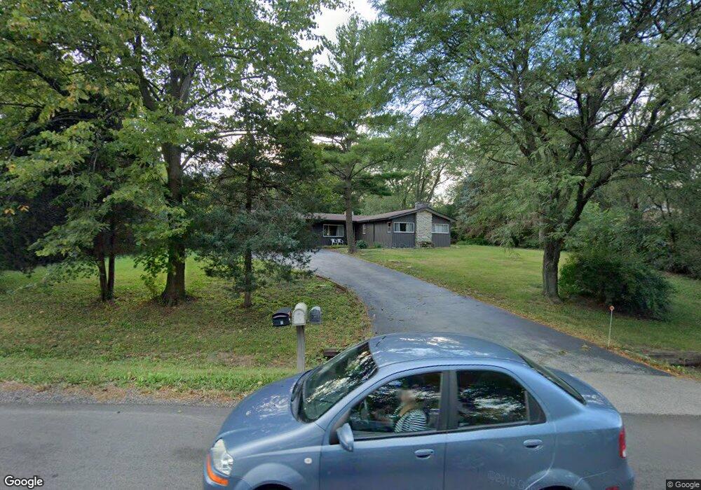
824 Locust Dr Sleepy Hollow, IL 60118
Estimated Value: $309,000 - $423,000
3
Beds
2
Baths
1,408
Sq Ft
$256/Sq Ft
Est. Value
About This Home
This home is located at 824 Locust Dr, Sleepy Hollow, IL 60118 and is currently estimated at $360,399, approximately $255 per square foot. 824 Locust Dr is a home located in Kane County with nearby schools including Sleepy Hollow Elementary School, Dundee Middle School, and Dundee-Crown High School.
Ownership History
Date
Name
Owned For
Owner Type
Purchase Details
Closed on
Jul 25, 2011
Sold by
Sonnenberg Dale T
Bought by
Sonnenberg Timothy P
Current Estimated Value
Purchase Details
Closed on
Sep 25, 2007
Sold by
Sonnenberg Dale T
Bought by
Sonnenberg Dale T and Sonnenberg Timothy P
Purchase Details
Closed on
Dec 5, 2005
Sold by
Sonnenberg Lloyd J
Bought by
The Lloyd J Sonnenberg Living Trust
Create a Home Valuation Report for This Property
The Home Valuation Report is an in-depth analysis detailing your home's value as well as a comparison with similar homes in the area
Home Values in the Area
Average Home Value in this Area
Purchase History
| Date | Buyer | Sale Price | Title Company |
|---|---|---|---|
| Sonnenberg Timothy P | $75,500 | Fidelity National Title | |
| Sonnenberg Dale T | -- | None Available | |
| The Lloyd J Sonnenberg Living Trust | -- | -- |
Source: Public Records
Tax History Compared to Growth
Tax History
| Year | Tax Paid | Tax Assessment Tax Assessment Total Assessment is a certain percentage of the fair market value that is determined by local assessors to be the total taxable value of land and additions on the property. | Land | Improvement |
|---|---|---|---|---|
| 2024 | $7,391 | $98,513 | $28,395 | $70,118 |
| 2023 | $7,111 | $88,639 | $25,549 | $63,090 |
| 2022 | $6,774 | $82,597 | $25,549 | $57,048 |
| 2021 | $6,587 | $77,988 | $24,123 | $53,865 |
| 2020 | $6,475 | $76,235 | $23,581 | $52,654 |
| 2019 | $6,316 | $72,371 | $22,386 | $49,985 |
| 2018 | $6,364 | $70,463 | $21,943 | $48,520 |
| 2017 | $6,138 | $65,915 | $20,527 | $45,388 |
| 2016 | $6,080 | $61,566 | $22,569 | $38,997 |
| 2015 | -- | $57,689 | $21,148 | $36,541 |
| 2014 | -- | $56,096 | $20,564 | $35,532 |
| 2013 | -- | $57,813 | $21,193 | $36,620 |
Source: Public Records
Map
Nearby Homes
- 849 Hemlock Dr
- 1042 Chateau Bluff Ln
- 900 Holly Ct
- 842 Winmoor Dr
- 937 Willow Ln
- 37 River Ridge Dr
- 1214 Carol Crest Dr
- 0000 Strom Dr
- 214 S 7th St
- 503 Edinburgh Ln
- 496 Edinburgh Ln
- 325 Sharon Dr
- 215 Sharon Dr
- 1715 W Main St
- 404 Washington St
- 825 Lindsay Ln
- 818 Lindsay Ln
- 814 Lindsay Ln
- 936 Glen Oak Dr
- 516 S 1st St
- 822 Locust Dr
- 826 Winmoor Dr
- 1847 Winmoor Ct
- 821 Locust Dr
- 828 Winmoor Dr
- 820 Willow Ln
- 823 Locust Dr
- 1845 Winmoor Ct
- 1849 Winmoor Ct
- 821 Winmoor Dr
- 861 Willow Ln
- 825 Locust Dr
- 1838 Maple Ln Unit 8
- 816 Locust Dr
- 817 Locust Dr
- 1840 Maple Ln
- 860 Willow Ln Unit 8
- 826 Hemlock Dr
- 832 Winmoor Dr
- 833 Winmoor Dr