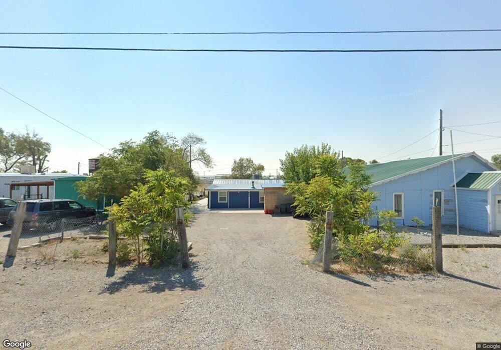
824 Pilot St Wendover, UT 84083
Estimated Value: $113,462 - $272,000
Studio
--
Bath
750
Sq Ft
$280/Sq Ft
Est. Value
About This Home
This home is located at 824 Pilot St, Wendover, UT 84083 and is currently estimated at $210,116, approximately $280 per square foot. 824 Pilot St is a home with nearby schools including Anna Smith Elementary School and Wendover High School.
Ownership History
Date
Name
Owned For
Owner Type
Purchase Details
Closed on
Sep 19, 2013
Sold by
Rosales Lleselia and Rosales Lorenzo
Bought by
Rosales Lorenzo and Perez Anita
Current Estimated Value
Purchase Details
Closed on
Jun 22, 2009
Sold by
Wright Rosemary and Wright Rosemary G
Bought by
Rosales Lleselia and Rosales Lorenzo
Purchase Details
Closed on
Jan 12, 2006
Sold by
Grossman Virginia G
Bought by
Wright Rosemary and Wright Rosemary G
Create a Home Valuation Report for This Property
The Home Valuation Report is an in-depth analysis detailing your home's value as well as a comparison with similar homes in the area
Purchase History
| Date | Buyer | Sale Price | Title Company |
|---|---|---|---|
| Rosales Lorenzo | -- | Tooele Title Company | |
| Rosales Lleselia | -- | Tooele Title Company | |
| Wright Rosemary | -- | None Available |
Source: Public Records
Tax History
| Year | Tax Paid | Tax Assessment Tax Assessment Total Assessment is a certain percentage of the fair market value that is determined by local assessors to be the total taxable value of land and additions on the property. | Land | Improvement |
|---|---|---|---|---|
| 2025 | $628 | $92,563 | $34,550 | $58,013 |
| 2024 | $548 | $40,075 | $19,003 | $21,072 |
| 2023 | $548 | $39,508 | $19,003 | $20,505 |
| 2022 | $471 | $37,151 | $19,003 | $18,148 |
| 2021 | $456 | $31,492 | $13,145 | $18,347 |
| 2020 | $474 | $57,881 | $23,900 | $33,981 |
| 2019 | $850 | $103,403 | $23,900 | $79,503 |
| 2018 | $657 | $75,649 | $6,459 | $69,190 |
| 2017 | $545 | $66,624 | $6,459 | $60,165 |
| 2016 | $542 | $36,643 | $3,552 | $33,091 |
| 2015 | $542 | $36,643 | $0 | $0 |
| 2014 | -- | $36,643 | $0 | $0 |
Source: Public Records
Map
Nearby Homes
- 250 8th St
- 590 Pilot St
- 370 Aria Blvd
- 0 Wendover Blvd
- 0 Butte St Unit 3627062
- 1890 Pueblo Blvd
- 901 Alpine St
- 0 Pueblo Blvd Unit 3627257
- 0 Pueblo Blvd Unit 11071957
- 0 Pueblo Blvd Unit 25262568
- 0 N Butte St
- 871 Blue Grass Cir
- 867 Blue Grass Cir
- 861 Blue Grass Cir
- 2000 Blue Grass Cir
- 863 Blue Grass Cir
- 2101 Blue Grass Cir
- 879 Blue Grass Cir
- 2103 Blue Grass Cir
- 875 Blue Grass Cir
Your Personal Tour Guide
Ask me questions while you tour the home.