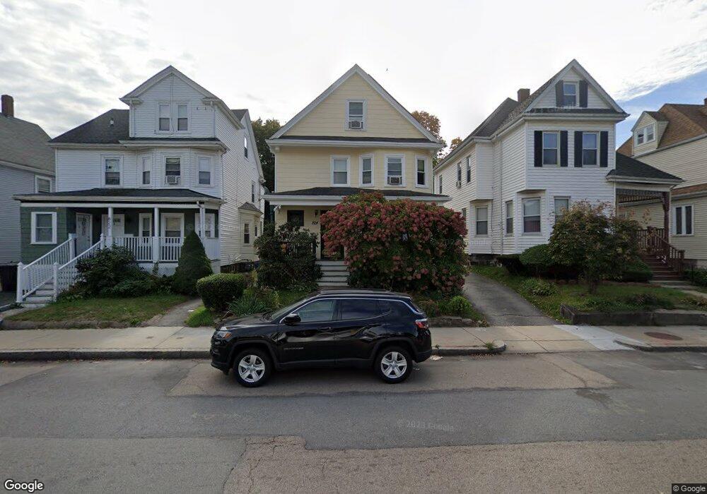
824 River St Mattapan, MA 02126
Hyde Park NeighborhoodEstimated Value: $556,000 - $1,009,000
4
Beds
1
Bath
1,684
Sq Ft
$407/Sq Ft
Est. Value
About This Home
This home is located at 824 River St, Mattapan, MA 02126 and is currently estimated at $685,652, approximately $407 per square foot. 824 River St is a home located in Suffolk County with nearby schools including Boston Preparatory Charter Public School and New Beginnings Academy.
Ownership History
Date
Name
Owned For
Owner Type
Purchase Details
Closed on
Dec 10, 1998
Sold by
Vann Charles E and Vann Yoshiko
Bought by
Anderson-Murphy S D
Current Estimated Value
Home Financials for this Owner
Home Financials are based on the most recent Mortgage that was taken out on this home.
Original Mortgage
$78,750
Outstanding Balance
$16,257
Interest Rate
6.8%
Mortgage Type
Purchase Money Mortgage
Estimated Equity
$669,395
Create a Home Valuation Report for This Property
The Home Valuation Report is an in-depth analysis detailing your home's value as well as a comparison with similar homes in the area
Home Values in the Area
Average Home Value in this Area
Purchase History
| Date | Buyer | Sale Price | Title Company |
|---|---|---|---|
| Anderson-Murphy S D | $105,000 | -- |
Source: Public Records
Mortgage History
| Date | Status | Borrower | Loan Amount |
|---|---|---|---|
| Open | Anderson-Murphy S D | $7,500 | |
| Open | Anderson-Murphy S D | $78,750 | |
| Closed | Anderson-Murphy S D | $1,234 |
Source: Public Records
Tax History Compared to Growth
Tax History
| Year | Tax Paid | Tax Assessment Tax Assessment Total Assessment is a certain percentage of the fair market value that is determined by local assessors to be the total taxable value of land and additions on the property. | Land | Improvement |
|---|---|---|---|---|
| 2025 | $4,913 | $424,300 | $146,800 | $277,500 |
| 2024 | $4,194 | $384,800 | $138,200 | $246,600 |
| 2023 | $3,827 | $356,300 | $128,000 | $228,300 |
| 2022 | $3,623 | $333,000 | $119,600 | $213,400 |
| 2021 | $3,299 | $309,200 | $115,000 | $194,200 |
| 2020 | $3,088 | $292,400 | $111,700 | $180,700 |
| 2019 | $2,802 | $265,800 | $83,700 | $182,100 |
| 2018 | $2,652 | $253,100 | $83,700 | $169,400 |
| 2017 | $2,460 | $232,300 | $83,700 | $148,600 |
| 2016 | $2,410 | $219,100 | $83,700 | $135,400 |
| 2015 | $2,219 | $183,200 | $81,000 | $102,200 |
| 2014 | $2,130 | $169,300 | $81,000 | $88,300 |
Source: Public Records
Map
Nearby Homes
- 106 Lewiston St
- 7 Winborough St
- 75-77 Belnel Rd
- 25 Alpine St Unit 7
- 20 Massasoit St
- 27 Ralwood Rd
- 23 Caton St
- 0 Tina Ave
- 645 River St
- 640 River St
- 90 Hollingsworth St
- 34 Ridlon Rd
- 141 Beacon St
- 265 Hebron St
- 82 Blue Hill Ave
- 839-843 Cummins Hwy
- 65 Victoria Heights Rd Unit 65
- 16 Blue Hill Ave
- 770 Cummins Hwy Unit 1
- 770 Cummins Hwy Unit 22
- 822 River St
- 822 River St Unit 2
- 826 River St
- 820 River St
- 828 River St
- 830 River St
- 816 River St Unit 818
- 816 River St Unit 1
- 816 River St
- 816 River St Unit 1
- 823 River St
- 827 River St
- 1 Agnes Ave
- 821 River St
- 812 River St
- 819 River St
- 15 Agnes Ave
- 7 George St
- 837 River St Unit 5
- 837 River St Unit 11