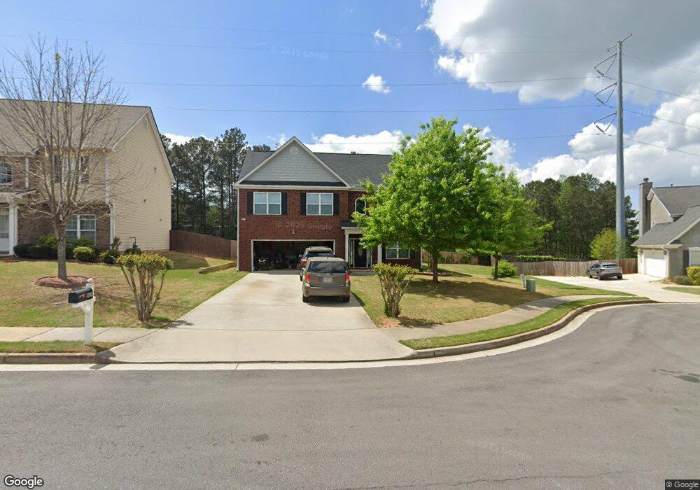
824 Rock Ln Mc Donough, GA 30253
Estimated Value: $351,686 - $382,000
4
Beds
4
Baths
2,336
Sq Ft
$156/Sq Ft
Est. Value
About This Home
This home is located at 824 Rock Ln, Mc Donough, GA 30253 and is currently estimated at $364,422, approximately $156 per square foot. 824 Rock Ln is a home located in Henry County with nearby schools including Union Grove Middle School, Union Grove High School, and Hickory Flat Elementary School.
Ownership History
Date
Name
Owned For
Owner Type
Purchase Details
Closed on
Mar 4, 2016
Sold by
Cox Nichelle Amelia
Bought by
Cox Nichelle Amelia and Cox Marvin
Current Estimated Value
Home Financials for this Owner
Home Financials are based on the most recent Mortgage that was taken out on this home.
Original Mortgage
$188,030
Outstanding Balance
$151,336
Interest Rate
4.25%
Mortgage Type
FHA
Estimated Equity
$213,086
Purchase Details
Closed on
Sep 6, 2013
Sold by
Ucb Investment Properties
Bought by
Kevin Fort Homes Inc
Purchase Details
Closed on
May 11, 2011
Sold by
United Cmnty Bk
Bought by
Ucb Lots Llc
Create a Home Valuation Report for This Property
The Home Valuation Report is an in-depth analysis detailing your home's value as well as a comparison with similar homes in the area
Home Values in the Area
Average Home Value in this Area
Purchase History
| Date | Buyer | Sale Price | Title Company |
|---|---|---|---|
| Cox Nichelle Amelia | -- | -- | |
| Cox Nichell Amelia | $191,500 | -- | |
| Kevin Fort Homes Inc | $18,750 | -- | |
| Ucb Lots Llc | $5,000 | -- |
Source: Public Records
Mortgage History
| Date | Status | Borrower | Loan Amount |
|---|---|---|---|
| Open | Cox Nichell Amelia | $188,030 | |
| Closed | Cox Nichelle Amelia | $188,030 |
Source: Public Records
Tax History Compared to Growth
Tax History
| Year | Tax Paid | Tax Assessment Tax Assessment Total Assessment is a certain percentage of the fair market value that is determined by local assessors to be the total taxable value of land and additions on the property. | Land | Improvement |
|---|---|---|---|---|
| 2025 | $5,800 | $148,000 | $18,000 | $130,000 |
| 2024 | $5,800 | $146,880 | $18,000 | $128,880 |
| 2023 | $6,134 | $146,160 | $16,000 | $130,160 |
| 2022 | $4,903 | $121,640 | $12,000 | $109,640 |
| 2021 | $3,835 | $93,600 | $12,000 | $81,600 |
| 2020 | $3,800 | $92,680 | $10,000 | $82,680 |
| 2019 | $3,502 | $86,640 | $10,000 | $76,640 |
| 2018 | $3,343 | $82,480 | $10,000 | $72,480 |
| 2016 | $1,031 | $22,200 | $10,000 | $12,200 |
| 2015 | -- | $3,040 | $3,040 | $0 |
| 2014 | $104 | $2,600 | $2,600 | $0 |
Source: Public Records
Map
Nearby Homes
- 796 Rock Ln
- 248 Brannans Walk
- 209 Brannans Walk
- 200 Kensington Trace
- 214 Kensington Trace
- 129 Talon Place
- 153 Rockport Dr
- 228 Kensington Trace
- 152 Rockport Dr
- 401 Crosshaven Way
- 248 Cranapple Ln
- 146 Himalaya Way
- 236 Himalaya Way
- 479 Crosshaven Way
- 72 Contour Dr
- 104 Riverside Close
- 1008 Carlyle Place
- 10 Caroline Dr
- 25 Forest Rd
- 1150 Strath Clyde Way
- 828 Rock Ln
- 820 Rock Ln
- 832 Rock Ln
- 797 Rock Ln Unit 1
- 816 Rock Ln Unit 1
- 812 Rock Ln Unit 1
- 836 Rock Ln
- 793 Rock Ln
- 801 Rock Ln Unit 144
- 801 Rock Ln
- 808 Rock Ln
- 808 Rock Ln Unit 3
- 905 Needletop Ct
- 840 Rock Ln
- 789 Rock Ln Unit 1
- 804 Rock Ln
- 909 Needletop Ct
- 805 Rock Ln
- 805 Rock Ln Unit 1
- 844 Rock Ln Unit 1