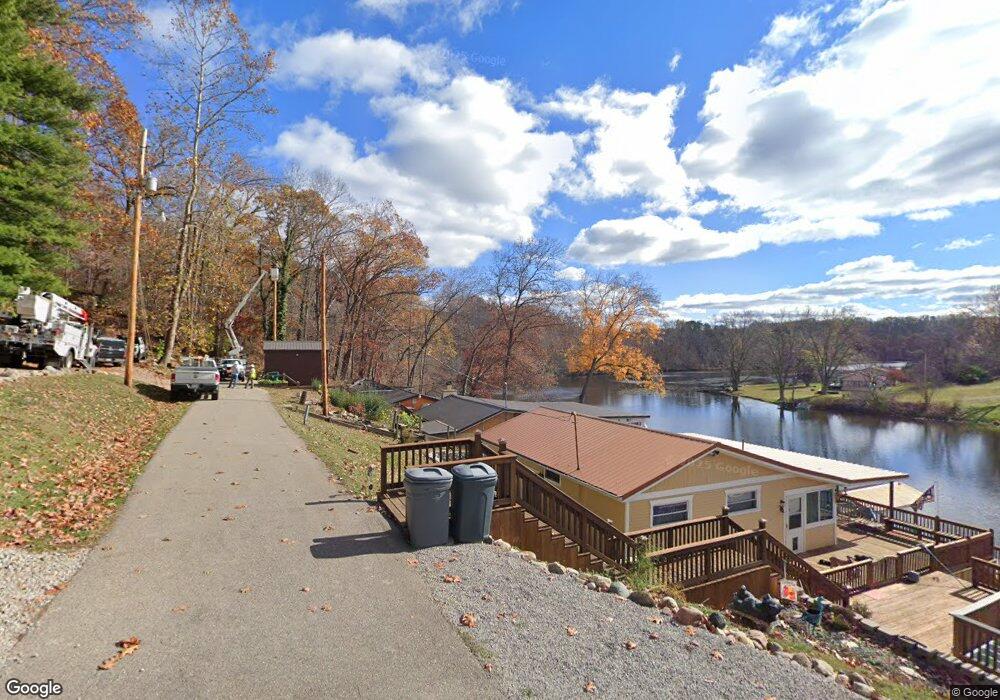
824 Shady Point Rd Oak Hill, OH 45656
Estimated Value: $53,293 - $115,000
1
Bed
1
Bath
520
Sq Ft
$138/Sq Ft
Est. Value
About This Home
This home is located at 824 Shady Point Rd, Oak Hill, OH 45656 and is currently estimated at $71,573, approximately $137 per square foot. 824 Shady Point Rd is a home located in Jackson County with nearby schools including Oak Hill Elementary School and Oak Hill Middle/High School.
Ownership History
Date
Name
Owned For
Owner Type
Purchase Details
Closed on
Aug 9, 2016
Sold by
Carroll Christine and Mincher Christine
Bought by
Cannon Mark
Current Estimated Value
Purchase Details
Closed on
Jan 8, 2013
Sold by
Fannie Mae
Bought by
Carroll Christine
Purchase Details
Closed on
Nov 5, 2012
Sold by
Kubera Bridget Anne and Fifth Third Mortgage Co
Bought by
Fannie Mae and Federal National Mortgage Association
Purchase Details
Closed on
Jul 20, 2007
Sold by
Brown Glenford E
Bought by
Kubera Bridget Anne
Home Financials for this Owner
Home Financials are based on the most recent Mortgage that was taken out on this home.
Original Mortgage
$31,500
Interest Rate
6.76%
Mortgage Type
Purchase Money Mortgage
Create a Home Valuation Report for This Property
The Home Valuation Report is an in-depth analysis detailing your home's value as well as a comparison with similar homes in the area
Home Values in the Area
Average Home Value in this Area
Purchase History
| Date | Buyer | Sale Price | Title Company |
|---|---|---|---|
| Cannon Mark | $19,000 | Bestitle Agency | |
| Carroll Christine | $14,000 | Ohio Title Corp | |
| Fannie Mae | $23,334 | None Available | |
| Kubera Bridget Anne | $35,000 | Attorney |
Source: Public Records
Mortgage History
| Date | Status | Borrower | Loan Amount |
|---|---|---|---|
| Previous Owner | Kubera Bridget Anne | $31,500 |
Source: Public Records
Tax History Compared to Growth
Tax History
| Year | Tax Paid | Tax Assessment Tax Assessment Total Assessment is a certain percentage of the fair market value that is determined by local assessors to be the total taxable value of land and additions on the property. | Land | Improvement |
|---|---|---|---|---|
| 2024 | $323 | $9,910 | $1,430 | $8,480 |
| 2023 | $323 | $9,910 | $1,430 | $8,480 |
| 2022 | $297 | $7,320 | $1,340 | $5,980 |
| 2021 | $256 | $7,320 | $1,340 | $5,980 |
| 2020 | $129 | $7,320 | $1,340 | $5,980 |
| 2019 | $238 | $6,530 | $1,190 | $5,340 |
| 2018 | $230 | $6,530 | $1,190 | $5,340 |
| 2017 | $1,117 | $6,530 | $1,190 | $5,340 |
| 2016 | $1,345 | $8,850 | $2,120 | $6,730 |
| 2015 | $296 | $8,850 | $2,120 | $6,730 |
| 2013 | $293 | $8,530 | $2,120 | $6,410 |
| 2012 | $298 | $8,530 | $2,120 | $6,410 |
Source: Public Records
Map
Nearby Homes
- 10355 Ohio 279
- 2080 Cozy Glenn Rd
- 321 W Main St
- 349 S Park Ave
- 2006 Ohio 279
- 703 E Main St
- 413 Gallipolis Rd
- 413 Gallipolis Rd Unit (Clearview Pond)
- 251 Wastier Cherrington Rd
- Tbd Roscoe Rd
- 0 Roscoe Rd
- 0 Roscoe Rd
- 13916 State Route 279
- 509 Homer Lewis Rd
- 3325 Camba Rd
- 1150 Courtney McCoy
- 3240 Gallipolis Rd
- 1337 Ohio 140
- 275 Horton Sisters Rd
- 3252 Sardis Rd
- 814 Shady Point Rd
- 815 Shady Point Rd
- 810 Shady Point Rd
- 810 Shady Point Rd
- 768 Shady Point Rd
- 755 Shady Point Rd
- 554 Shady Point Rd
- 760 Shady Point Rd
- 110 Lake Front Rd
- 104 Lake Front Rd
- 143 Lake Front Rd
- 100 Lake Front Rd
- 140 Lake Front Rd
- 146 Lake Front Rd
- 161 Lake Front Rd
- 68 Cabin Rd
- 287 Shady Point Rd
- 152 Lake Front Rd
- 823 Tommy Been Rd
- 0 Shady Point Rd