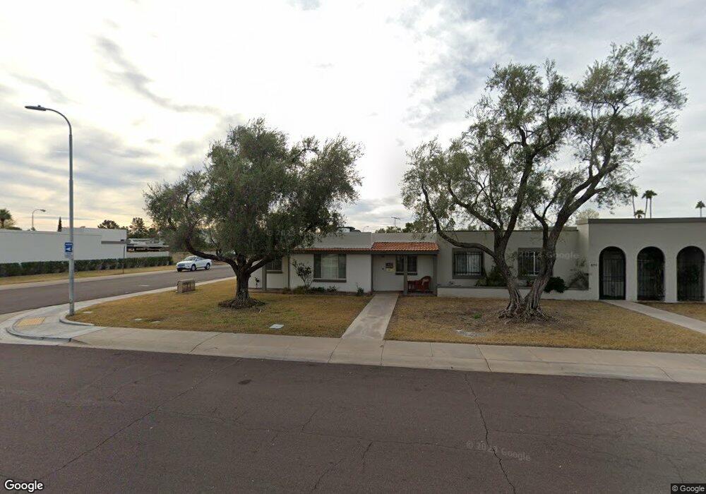
8241 E Rose Ln Scottsdale, AZ 85250
Indian Bend NeighborhoodEstimated Value: $379,668 - $496,000
--
Bed
2
Baths
1,352
Sq Ft
$326/Sq Ft
Est. Value
About This Home
This home is located at 8241 E Rose Ln, Scottsdale, AZ 85250 and is currently estimated at $441,167, approximately $326 per square foot. 8241 E Rose Ln is a home located in Maricopa County with nearby schools including Pueblo Elementary School, Navajo Elementary School, and Mohave Middle School.
Ownership History
Date
Name
Owned For
Owner Type
Purchase Details
Closed on
Jan 25, 1997
Sold by
Tanaka Gayle and Tanaka Gayle C
Bought by
Johnson Janis S
Current Estimated Value
Home Financials for this Owner
Home Financials are based on the most recent Mortgage that was taken out on this home.
Original Mortgage
$75,000
Interest Rate
7.66%
Mortgage Type
New Conventional
Purchase Details
Closed on
Oct 4, 1995
Sold by
Rosbrook Mark A and Rosbrook Marion C
Bought by
Tanaka Gayle and Tanaka Gayle C
Home Financials for this Owner
Home Financials are based on the most recent Mortgage that was taken out on this home.
Original Mortgage
$67,000
Interest Rate
7.59%
Mortgage Type
New Conventional
Create a Home Valuation Report for This Property
The Home Valuation Report is an in-depth analysis detailing your home's value as well as a comparison with similar homes in the area
Home Values in the Area
Average Home Value in this Area
Purchase History
| Date | Buyer | Sale Price | Title Company |
|---|---|---|---|
| Johnson Janis S | $95,000 | First American Title | |
| Tanaka Gayle | $82,000 | First American Title |
Source: Public Records
Mortgage History
| Date | Status | Borrower | Loan Amount |
|---|---|---|---|
| Previous Owner | Johnson Janis S | $75,000 | |
| Previous Owner | Tanaka Gayle | $67,000 |
Source: Public Records
Tax History Compared to Growth
Tax History
| Year | Tax Paid | Tax Assessment Tax Assessment Total Assessment is a certain percentage of the fair market value that is determined by local assessors to be the total taxable value of land and additions on the property. | Land | Improvement |
|---|---|---|---|---|
| 2025 | $1,164 | $19,207 | -- | -- |
| 2024 | $1,092 | $18,293 | -- | -- |
| 2023 | $1,092 | $30,970 | $6,190 | $24,780 |
| 2022 | $1,037 | $24,550 | $4,910 | $19,640 |
| 2021 | $1,123 | $22,020 | $4,400 | $17,620 |
| 2020 | $1,113 | $20,160 | $4,030 | $16,130 |
| 2019 | $1,081 | $18,630 | $3,720 | $14,910 |
| 2018 | $1,056 | $16,410 | $3,280 | $13,130 |
| 2017 | $998 | $14,710 | $2,940 | $11,770 |
| 2016 | $972 | $13,970 | $2,790 | $11,180 |
| 2015 | $940 | $12,570 | $2,510 | $10,060 |
Source: Public Records
Map
Nearby Homes
- 8238 E Keim Dr
- 8340 E McDonald Dr Unit 1003
- 6480 N 82nd St Unit 1107
- 6480 N 82nd St Unit 1116
- 8419 E Stella Ln
- 8302 E Lincoln Dr
- 8414 E Stella Ln
- 8525 E Keim Dr
- 5941 N 83rd St
- 8509 E Malcomb Dr
- 5942 N 83rd St
- 8426 E Lincoln Dr
- 8449 E Lincoln Dr
- 6531 N 81st Place
- 6326 N 86th St
- 8560 E McDonald Dr Unit 113
- 8564 E McDonald Dr
- 6338 N 86th St
- 8614 E Berridge Ln
- 6614 N 82nd Way