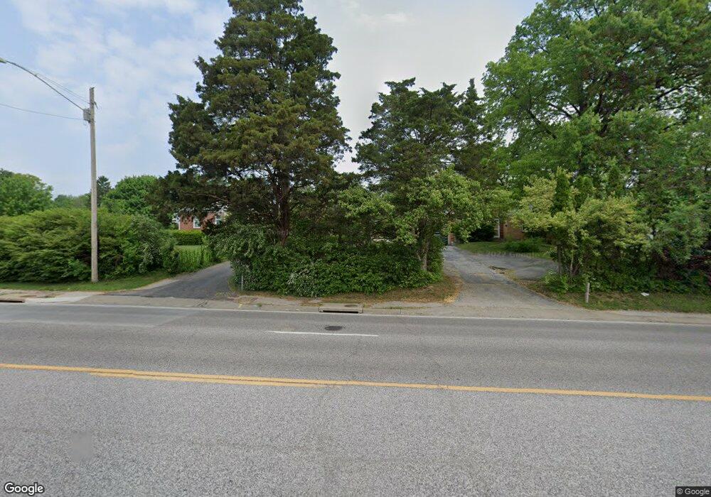
8241 Watson Rd Saint Louis, MO 63119
Estimated Value: $269,244 - $290,000
2
Beds
1
Bath
893
Sq Ft
$313/Sq Ft
Est. Value
About This Home
This home is located at 8241 Watson Rd, Saint Louis, MO 63119 and is currently estimated at $279,561, approximately $313 per square foot. 8241 Watson Rd is a home located in St. Louis County with nearby schools including Edgar Road Elementary School, Hixson Middle School, and Webster Groves High School.
Ownership History
Date
Name
Owned For
Owner Type
Purchase Details
Closed on
Nov 27, 2013
Sold by
Mandzukic Senija and Mandzukic Nermina
Bought by
Mandzukic Senija
Current Estimated Value
Purchase Details
Closed on
Mar 17, 2005
Sold by
Mandzukic Senija
Bought by
Mandzukic Senija and Mandzukic Nermina
Purchase Details
Closed on
Jul 6, 2000
Sold by
Mandzukic Senija
Bought by
Mandzukic Jasmina and Mandzukic Nermina
Home Financials for this Owner
Home Financials are based on the most recent Mortgage that was taken out on this home.
Original Mortgage
$84,450
Interest Rate
8.19%
Purchase Details
Closed on
May 10, 2000
Sold by
Spehr Nancy A
Bought by
Mandzukic Senija
Home Financials for this Owner
Home Financials are based on the most recent Mortgage that was taken out on this home.
Original Mortgage
$84,450
Interest Rate
8.19%
Purchase Details
Closed on
Jan 19, 2000
Sold by
Spehr Steven M and Spehr Nancy A
Bought by
Spehr Nancy A
Create a Home Valuation Report for This Property
The Home Valuation Report is an in-depth analysis detailing your home's value as well as a comparison with similar homes in the area
Home Values in the Area
Average Home Value in this Area
Purchase History
| Date | Buyer | Sale Price | Title Company |
|---|---|---|---|
| Mandzukic Senija | -- | None Available | |
| Mandzukic Senija | -- | -- | |
| Mandzukic Jasmina | -- | -- | |
| Mandzukic Senija | $88,900 | -- | |
| Spehr Nancy A | -- | -- |
Source: Public Records
Mortgage History
| Date | Status | Borrower | Loan Amount |
|---|---|---|---|
| Previous Owner | Mandzukic Senija | $84,450 |
Source: Public Records
Tax History Compared to Growth
Tax History
| Year | Tax Paid | Tax Assessment Tax Assessment Total Assessment is a certain percentage of the fair market value that is determined by local assessors to be the total taxable value of land and additions on the property. | Land | Improvement |
|---|---|---|---|---|
| 2025 | $2,715 | $41,340 | $31,670 | $9,670 |
| 2024 | $2,715 | $38,740 | $22,170 | $16,570 |
| 2023 | $2,715 | $38,740 | $22,170 | $16,570 |
| 2022 | $2,865 | $38,190 | $22,170 | $16,020 |
| 2021 | $2,856 | $38,190 | $22,170 | $16,020 |
| 2020 | $2,908 | $36,230 | $22,170 | $14,060 |
| 2019 | $804 | $36,230 | $22,170 | $14,060 |
| 2018 | $2,783 | $30,950 | $15,830 | $15,120 |
| 2017 | $2,764 | $30,950 | $15,830 | $15,120 |
| 2016 | $2,341 | $25,050 | $12,640 | $12,410 |
| 2015 | $2,340 | $25,050 | $12,640 | $12,410 |
| 2014 | $3,168 | $21,970 | $8,060 | $13,910 |
Source: Public Records
Map
Nearby Homes
- 8261 Watson Rd
- 430 Cannonbury Dr
- 1405 Culverhill Dr
- 7452 Rockwood Dr
- 7625 General Meade Ln
- 8215 General Sheridan Ln
- 1330 Drayton Ave
- 8509 Grantshire Ln
- 7243 General Sherman Ln
- 312 Oak Tree Dr
- 907 Edgar Rd
- 308 Oak Tree Dr
- 739 Hurstgreen Rd
- 7101 Fernbrook Dr
- 725 Brookridge Dr
- 107 Saint George Place
- 7123 Craighill Dr
- 8405 Rockhaven Ln
- 8875 Rock Forest Dr
- 8853 Raleigh Dr