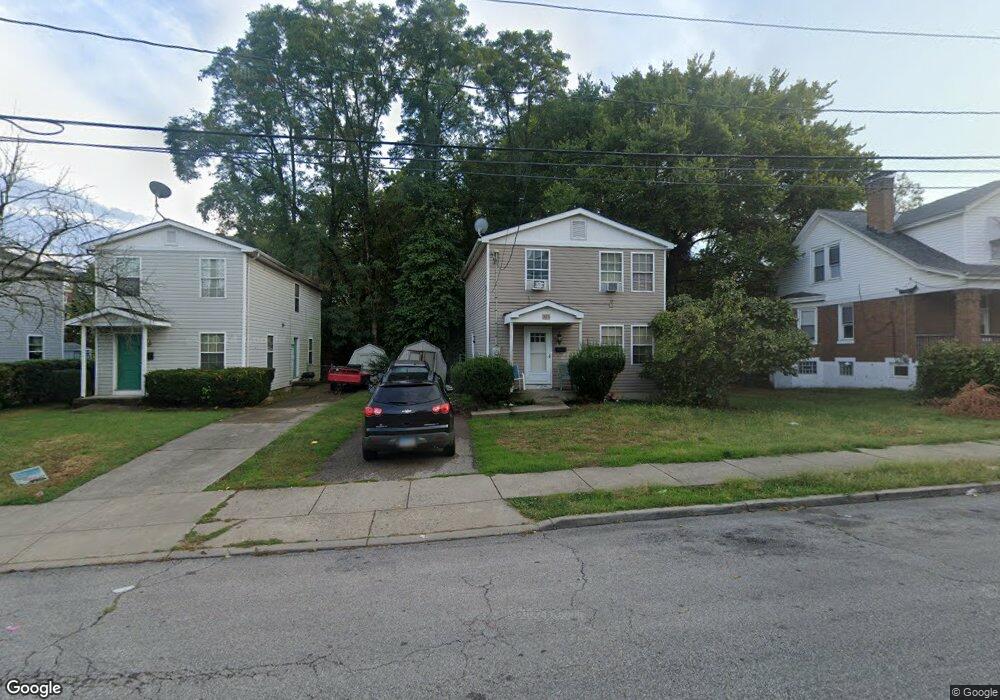
825 Blair Ave Cincinnati, OH 45229
Avondale NeighborhoodEstimated Value: $96,000 - $178,000
3
Beds
2
Baths
1,320
Sq Ft
$106/Sq Ft
Est. Value
About This Home
This home is located at 825 Blair Ave, Cincinnati, OH 45229 and is currently estimated at $140,506, approximately $106 per square foot. 825 Blair Ave is a home located in Hamilton County with nearby schools including South Avondale School, Robert A. Taft Information Technology High School, and Clark Montessori High School.
Ownership History
Date
Name
Owned For
Owner Type
Purchase Details
Closed on
Aug 26, 1996
Sold by
Cincinnati Habitat For Humanity
Bought by
Hudson Vivian
Current Estimated Value
Home Financials for this Owner
Home Financials are based on the most recent Mortgage that was taken out on this home.
Original Mortgage
$40,208
Interest Rate
8.29%
Mortgage Type
Seller Take Back
Purchase Details
Closed on
Feb 22, 1996
Sold by
Forlansa Inc
Bought by
Cincinnati Habitat For Humanity Inc
Create a Home Valuation Report for This Property
The Home Valuation Report is an in-depth analysis detailing your home's value as well as a comparison with similar homes in the area
Home Values in the Area
Average Home Value in this Area
Purchase History
| Date | Buyer | Sale Price | Title Company |
|---|---|---|---|
| Hudson Vivian | $40,300 | -- | |
| Cincinnati Habitat For Humanity Inc | -- | -- |
Source: Public Records
Mortgage History
| Date | Status | Borrower | Loan Amount |
|---|---|---|---|
| Closed | Hudson Vivian | $40,208 |
Source: Public Records
Tax History Compared to Growth
Tax History
| Year | Tax Paid | Tax Assessment Tax Assessment Total Assessment is a certain percentage of the fair market value that is determined by local assessors to be the total taxable value of land and additions on the property. | Land | Improvement |
|---|---|---|---|---|
| 2024 | $2,057 | $34,227 | $4,746 | $29,481 |
| 2023 | $2,103 | $34,227 | $4,746 | $29,481 |
| 2022 | $1,546 | $22,502 | $4,708 | $17,794 |
| 2021 | $1,484 | $22,502 | $4,708 | $17,794 |
| 2020 | $1,527 | $22,502 | $4,708 | $17,794 |
| 2019 | $1,560 | $21,029 | $4,400 | $16,629 |
| 2018 | $1,563 | $21,029 | $4,400 | $16,629 |
| 2017 | $1,484 | $21,029 | $4,400 | $16,629 |
| 2016 | $918 | $12,768 | $4,669 | $8,099 |
| 2015 | $829 | $12,768 | $4,669 | $8,099 |
| 2014 | $835 | $12,768 | $4,669 | $8,099 |
| 2013 | $849 | $12,768 | $4,669 | $8,099 |
Source: Public Records
Map
Nearby Homes
- 3429 Reading Rd
- 3319 Milton Ct
- 816 Windham Ave
- 844 Windham Ave
- 567 Stewart Place
- 611 Rockdale Ave
- 855 Rockdale Ave
- 863 Rockdale Ave
- 3428 Harvey Ave
- 533 Rockdale Ave
- 3440 Harvey Ave
- 3079 Kerper Ave
- 434 Northern Ave
- 871 Hutchins Ave
- 899 Lexington Ave
- 651 Glenwood Ave
- 3219 Beresford Ave
- 3025 Gilbert Ave
- 3048 Gilbert Ave
- 918 Glenwood Ave