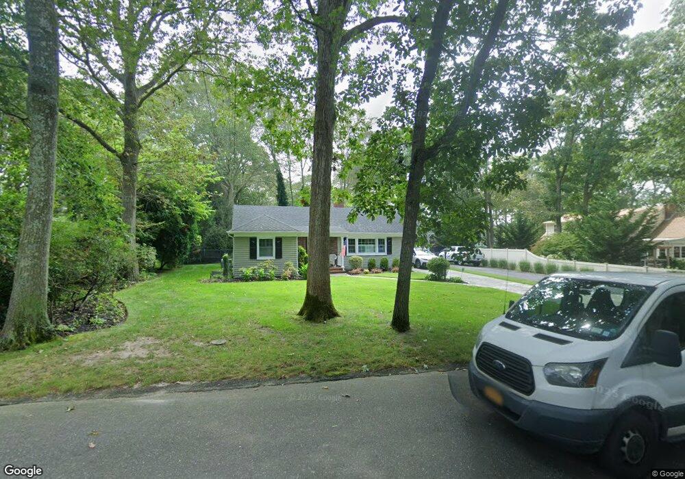
825 Brower Rd Mattituck, NY 11952
Estimated Value: $845,000 - $978,000
2
Beds
2
Baths
1,600
Sq Ft
$556/Sq Ft
Est. Value
About This Home
This home is located at 825 Brower Rd, Mattituck, NY 11952 and is currently estimated at $889,679, approximately $556 per square foot. 825 Brower Rd is a home located in Suffolk County with nearby schools including Mattituck-Cutchogue Elementary School, Mattituck Junior/Senior High School, and Peconic Community School.
Ownership History
Date
Name
Owned For
Owner Type
Purchase Details
Closed on
Apr 9, 2019
Sold by
Motl Robert R and Motl Robert R
Bought by
Keeley Mark E and Verschoore Karen
Current Estimated Value
Purchase Details
Closed on
Apr 21, 1999
Sold by
Mccourt Kathryn L
Bought by
Bopp Constance A and Koch Margaret
Create a Home Valuation Report for This Property
The Home Valuation Report is an in-depth analysis detailing your home's value as well as a comparison with similar homes in the area
Home Values in the Area
Average Home Value in this Area
Purchase History
| Date | Buyer | Sale Price | Title Company |
|---|---|---|---|
| Keeley Mark E | -- | -- | |
| Keeley Mark E | -- | -- | |
| Bopp Constance A | -- | Fidelity National Title Ins | |
| Bopp Constance A | -- | Fidelity National Title Ins |
Source: Public Records
Tax History
| Year | Tax Paid | Tax Assessment Tax Assessment Total Assessment is a certain percentage of the fair market value that is determined by local assessors to be the total taxable value of land and additions on the property. | Land | Improvement |
|---|---|---|---|---|
| 2024 | $7,042 | $4,500 | $600 | $3,900 |
| 2023 | $7,042 | $4,500 | $600 | $3,900 |
| 2022 | $6,708 | $4,500 | $600 | $3,900 |
| 2021 | $9,170 | $4,500 | $600 | $3,900 |
| 2020 | $3,907 | $4,500 | $600 | $3,900 |
| 2019 | $3,907 | $0 | $0 | $0 |
| 2018 | $5,303 | $4,500 | $600 | $3,900 |
| 2017 | $4,349 | $5,100 | $600 | $4,500 |
| 2016 | $4,353 | $5,100 | $600 | $4,500 |
| 2015 | -- | $5,100 | $600 | $4,500 |
| 2014 | -- | $5,800 | $600 | $5,200 |
Source: Public Records
Map
Nearby Homes
- 780 Westview Dr
- 2005 Westview Dr
- 3000 Grand Ave
- 540 Conklin Rd
- 725 Youngs Ave
- 1050 Greton Ct
- 870 Horton Ave
- 15 Youngs Ave
- 13100 Main Rd
- 385 New Suffolk Ave
- 5697 Westphalia Rd
- 2590 Cox Neck Rd
- 9450 Old Sound Ave
- 375 Factory Ave
- 1775 Naugles Dr
- 1150 Ruth Rd
- 1645 Ruth Rd
- 1995 Ruth Rd
- 1750 Laurel Lake Dr
- 5660 Sound Ave
- 675 Brower Rd
- 1030 Westview Dr
- 680 Westview Dr
- 580 Westview Dr
- 75 Woodcliff Dr
- 595 Brower Rd
- 1180 Westview Dr
- 460 Westview Dr
- 1260 Westview Dr
- 100 Woodcliff Dr
- 155 Woodcliff Dr
- 1330 Westview Dr
- 1155 Westview Dr
- 1085 Westview Dr
- 1225 Westview Dr
- 575 Westview Dr
- 210 Westview Dr
- 535 Westview Dr
- 395 Brower Rd
Your Personal Tour Guide
Ask me questions while you tour the home.