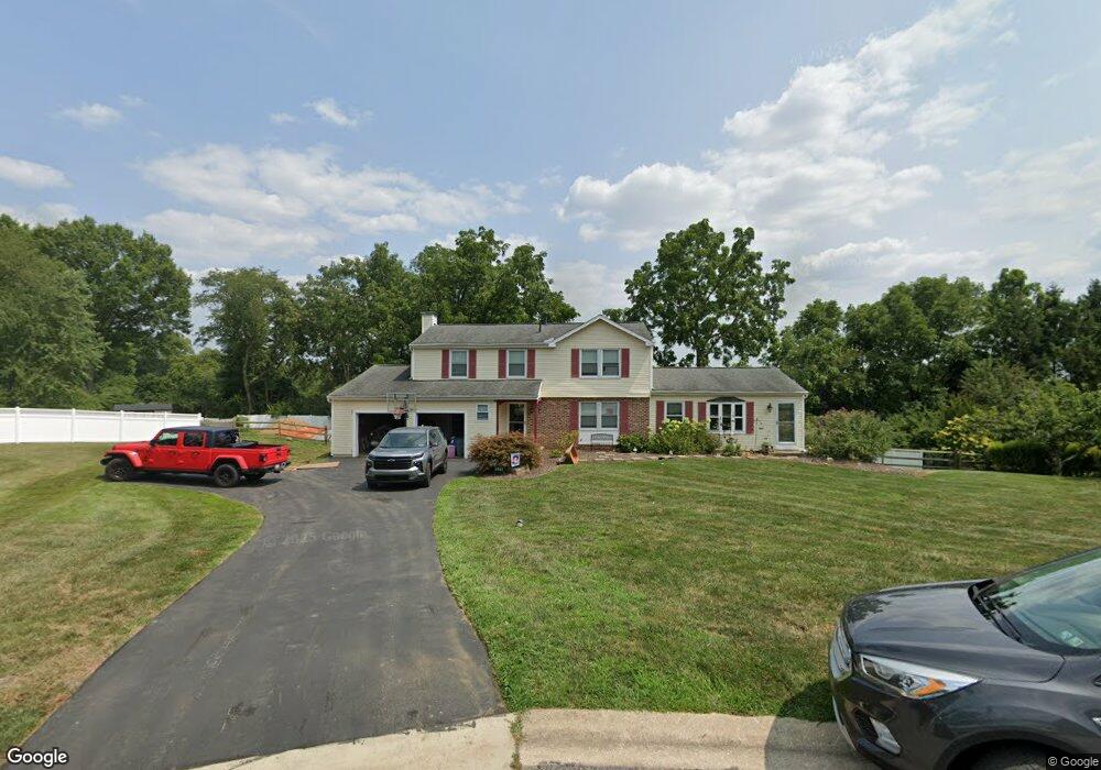
825 E Sage Rd West Chester, PA 19382
Estimated Value: $765,000 - $779,090
4
Beds
4
Baths
2,420
Sq Ft
$320/Sq Ft
Est. Value
About This Home
This home is located at 825 E Sage Rd, West Chester, PA 19382 and is currently estimated at $773,273, approximately $319 per square foot. 825 E Sage Rd is a home located in Chester County with nearby schools including Westtown-Thornbury Elementary School, Stetson Middle School, and Bayard Rustin High School.
Ownership History
Date
Name
Owned For
Owner Type
Purchase Details
Closed on
Apr 8, 2010
Sold by
Rodgers Michael W and Rodgers Michaeline
Bought by
Goldsborough Cheryl A and Goldsborough Michael J
Current Estimated Value
Home Financials for this Owner
Home Financials are based on the most recent Mortgage that was taken out on this home.
Original Mortgage
$424,297
Interest Rate
4.88%
Mortgage Type
FHA
Purchase Details
Closed on
May 19, 2008
Sold by
Rodgers Michael W and Rodgers Michaeline M
Bought by
Rodgers Michael W and Rodgers Michaeline M
Home Financials for this Owner
Home Financials are based on the most recent Mortgage that was taken out on this home.
Original Mortgage
$210,000
Interest Rate
5.91%
Mortgage Type
New Conventional
Purchase Details
Closed on
Jan 7, 2000
Sold by
Rodgers Michael W and Rodgers Michaeline M
Bought by
Rodgers Michael W and Rodgers Michaeline M
Create a Home Valuation Report for This Property
The Home Valuation Report is an in-depth analysis detailing your home's value as well as a comparison with similar homes in the area
Home Values in the Area
Average Home Value in this Area
Purchase History
| Date | Buyer | Sale Price | Title Company |
|---|---|---|---|
| Goldsborough Cheryl A | $434,500 | None Available | |
| Rodgers Michael W | -- | None Available | |
| Rodgers Michael W | -- | -- |
Source: Public Records
Mortgage History
| Date | Status | Borrower | Loan Amount |
|---|---|---|---|
| Previous Owner | Goldsborough Cheryl A | $424,297 | |
| Previous Owner | Rodgers Michael W | $210,000 |
Source: Public Records
Tax History Compared to Growth
Tax History
| Year | Tax Paid | Tax Assessment Tax Assessment Total Assessment is a certain percentage of the fair market value that is determined by local assessors to be the total taxable value of land and additions on the property. | Land | Improvement |
|---|---|---|---|---|
| 2025 | $6,631 | $246,360 | $50,350 | $196,010 |
| 2024 | $6,631 | $214,540 | $50,350 | $164,190 |
| 2023 | $6,586 | $214,540 | $50,350 | $164,190 |
| 2022 | $6,460 | $214,540 | $50,350 | $164,190 |
| 2021 | $6,375 | $214,540 | $50,350 | $164,190 |
| 2020 | $6,336 | $214,540 | $50,350 | $164,190 |
| 2019 | $6,252 | $214,540 | $50,350 | $164,190 |
| 2018 | $6,126 | $214,540 | $50,350 | $164,190 |
| 2017 | $6,000 | $214,540 | $50,350 | $164,190 |
| 2016 | $4,790 | $214,540 | $50,350 | $164,190 |
| 2015 | $4,790 | $214,540 | $50,350 | $164,190 |
| 2014 | $4,790 | $214,540 | $50,350 | $164,190 |
Source: Public Records
Map
Nearby Homes
- 859 Empress Rd
- 878 Empress Rd
- 45 Sawmill Ct
- 47 Sawmill Ct
- 602 Bowers Dr
- 924 Trellis Ln
- 1626 S Coventry Ln
- 1549 S Coventry Ln
- 1018 Ashley Rd
- 809 Amelia Dr
- 600 Oaklea Ln
- 501 Glen Ave
- 202 Larchwood Rd
- 404 Warren Rd
- 222 Westtown Way
- 103 Everest Cir
- 1075 Westwood Dr
- 1920 Valley Dr
- 2613 Eagle Rd Unit 2613
- 400 Falcon Ln