825 Number 10 Ln Clayton, GA 30525
Estimated Value: $293,000 - $380,000
3
Beds
2
Baths
1,440
Sq Ft
$230/Sq Ft
Est. Value
About This Home
This home is located at 825 Number 10 Ln, Clayton, GA 30525 and is currently estimated at $331,509, approximately $230 per square foot. 825 Number 10 Ln is a home located in Rabun County with nearby schools including Rabun County Primary School, Rabun County High School, and Great Oaks Montessori .
Ownership History
Date
Name
Owned For
Owner Type
Purchase Details
Closed on
Dec 1, 2003
Current Estimated Value
Purchase Details
Closed on
Jul 1, 1996
Purchase Details
Closed on
Feb 1, 1994
Bought by
Crosby Keith D
Create a Home Valuation Report for This Property
The Home Valuation Report is an in-depth analysis detailing your home's value as well as a comparison with similar homes in the area
Home Values in the Area
Average Home Value in this Area
Purchase History
| Date | Buyer | Sale Price | Title Company |
|---|---|---|---|
| -- | -- | -- | |
| -- | -- | -- | |
| -- | -- | -- | |
| -- | -- | -- | |
| Crosby Keith D | $15,800 | -- | |
| Crosby Keith D | $15,800 | -- |
Source: Public Records
Tax History Compared to Growth
Tax History
| Year | Tax Paid | Tax Assessment Tax Assessment Total Assessment is a certain percentage of the fair market value that is determined by local assessors to be the total taxable value of land and additions on the property. | Land | Improvement |
|---|---|---|---|---|
| 2025 | $1,757 | $79,496 | $12,542 | $66,954 |
| 2024 | $1,728 | $75,435 | $12,542 | $62,893 |
| 2023 | $1,767 | $69,742 | $11,148 | $58,594 |
| 2022 | $1,190 | $67,026 | $10,452 | $56,574 |
| 2021 | $1,597 | $60,462 | $9,755 | $50,707 |
| 2020 | $1,622 | $59,574 | $9,755 | $49,819 |
| 2019 | $1,125 | $59,574 | $9,755 | $49,819 |
| 2018 | $1,598 | $59,574 | $9,755 | $49,819 |
| 2017 | $1,082 | $59,574 | $9,755 | $49,819 |
| 2016 | $1,085 | $59,574 | $9,755 | $49,819 |
| 2015 | $1,114 | $59,843 | $9,755 | $50,088 |
| 2014 | $1,128 | $60,252 | $12,516 | $47,736 |
Source: Public Records
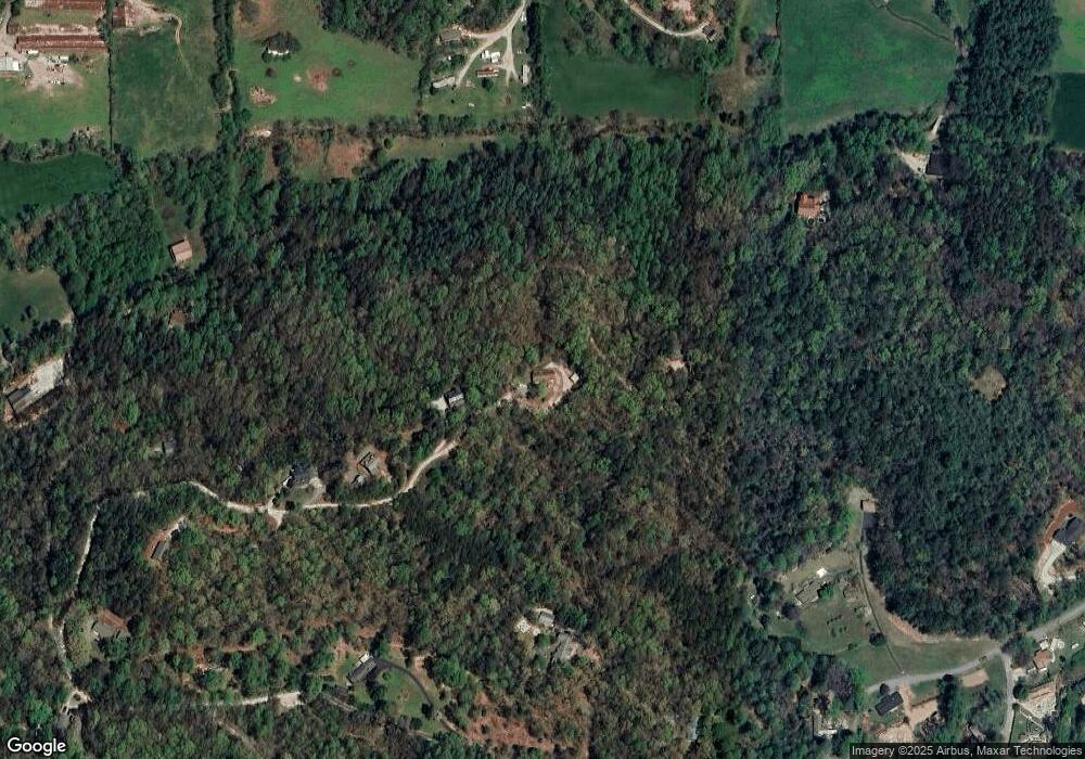
Map
Nearby Homes
- 556 Summer Rd
- 112 Clayton Dr
- 276 Dunlap St
- 407 Hillside Dr
- 0 Travelers Ln Unit 10608680
- 0 Travelers Ln Unit 10590360
- 60 Mitchell St
- 167 Travelers Ln
- 0 Jericho Ln Unit 10624133
- 9 Golf Dr
- 230 Stornoway Dr Unit 6
- 127 Hamby St
- 335 S Main St
- 5 W Pinecrest Dr
- 893 Old 441 S
- 0 Toole St Unit 10538991
- 7 Dry Pond Dr
- 300 Ginger Creek Ln Unit 203
- 300 Ginger Creek Ln Unit 303
- 25 Valley St
- 777 Number 10 Ln
- 474 Owl Creek Dr
- 691 Number 10 Ln
- 0 Shepherd Valley Trail Unit 8996458
- 667 Number 10 Ln
- 152 Clark Ln
- 334 Sundance Ln
- 206 Norman Cir
- 128 Norman Cir
- 95 Parker Ln
- 61 Bray Ln
- 0 Marsengill Dr Unit 1&2 8371692
- 0 Marsengill Dr Unit 9074636
- 0 Marsengill Dr Unit 1&2 8128938
- 218 Number 10 Ln
- 340 Sundance Ln
- 99 Owl Creek Dr
- 552 King Mtn Dr
- 76 Clark Ln
- 76 Clark Ln Unit 9,10