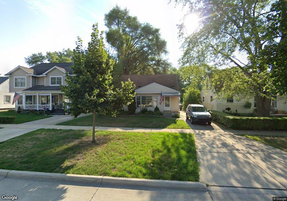
825 S Manitou Ave Clawson, MI 48017
Estimated Value: $273,000 - $294,000
4
Beds
1
Bath
1,043
Sq Ft
$270/Sq Ft
Est. Value
About This Home
This home is located at 825 S Manitou Ave, Clawson, MI 48017 and is currently estimated at $281,237, approximately $269 per square foot. 825 S Manitou Ave is a home located in Oakland County with nearby schools including Clawson High School, Japhet School, and Guardian Angels School.
Ownership History
Date
Name
Owned For
Owner Type
Purchase Details
Closed on
Jun 19, 2023
Sold by
Mcgahey James P
Bought by
Mcgahey James P and Goodin Gavin
Current Estimated Value
Purchase Details
Closed on
Feb 23, 2005
Sold by
Mcgahey Karla V
Bought by
Mcgahey James P
Home Financials for this Owner
Home Financials are based on the most recent Mortgage that was taken out on this home.
Original Mortgage
$66,500
Interest Rate
5.75%
Mortgage Type
Purchase Money Mortgage
Create a Home Valuation Report for This Property
The Home Valuation Report is an in-depth analysis detailing your home's value as well as a comparison with similar homes in the area
Home Values in the Area
Average Home Value in this Area
Purchase History
| Date | Buyer | Sale Price | Title Company |
|---|---|---|---|
| Mcgahey James P | -- | None Listed On Document | |
| Mcgahey James P | -- | None Listed On Document | |
| Mcgahey James P | -- | -- |
Source: Public Records
Mortgage History
| Date | Status | Borrower | Loan Amount |
|---|---|---|---|
| Previous Owner | Mcgahey James P | $66,500 |
Source: Public Records
Tax History Compared to Growth
Tax History
| Year | Tax Paid | Tax Assessment Tax Assessment Total Assessment is a certain percentage of the fair market value that is determined by local assessors to be the total taxable value of land and additions on the property. | Land | Improvement |
|---|---|---|---|---|
| 2024 | $2,687 | $115,390 | $0 | $0 |
| 2023 | $2,576 | $107,500 | $0 | $0 |
| 2022 | $2,596 | $99,350 | $0 | $0 |
| 2021 | $2,543 | $92,260 | $0 | $0 |
| 2020 | $2,464 | $86,030 | $0 | $0 |
| 2019 | $2,547 | $81,220 | $0 | $0 |
| 2018 | $2,529 | $74,670 | $0 | $0 |
| 2017 | $2,513 | $71,270 | $0 | $0 |
| 2016 | $2,550 | $65,940 | $0 | $0 |
| 2015 | -- | $60,440 | $0 | $0 |
| 2014 | -- | $52,980 | $0 | $0 |
| 2011 | -- | $48,400 | $0 | $0 |
Source: Public Records
Map
Nearby Homes
- 1502 Normandy Rd Unit 113
- 406 S Webik Ave
- 4227 Crooks Rd
- 4345 Crooks Rd Unit 24
- 3553 Marais Ave
- 140 S Manitou Ave
- 4101 Devon Rd
- 1212 W Windemere Ave
- 1304 W Windemere Ave
- 1807 Samoset Rd
- 253 Massoit St
- 1012 W Windemere Ave
- 4102 Woodland Ave
- 407 Jeffrey Ave
- 308 W Tacoma St
- 3927 Woodland Ave
- 3526 Durham Rd
- 3601 Durham Rd
- 206 Kinross Ave
- 306 Charlotte Ave
- 815 S Manitou Ave
- 835 S Manitou Ave
- 805 S Manitou Ave
- 1220 Normandy Rd
- 824 Gargantua Ave
- 834 Gargantua Ave
- 755 S Manitou Ave
- 814 Gargantua Ave
- 804 Gargantua Ave
- 1210 Normandy Rd
- 745 S Manitou Ave
- 842 S Manitou Ave
- 754 Gargantua Ave
- 832 S Manitou Ave
- 822 S Manitou Ave
- 812 S Manitou Ave
- 735 S Manitou Ave Unit Bldg-Unit
- 735 S Manitou Ave
- 802 S Manitou Ave
- 742 Gargantua Ave