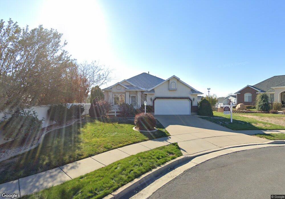
825 W 2225 N Layton, UT 84041
Estimated Value: $488,000 - $576,000
3
Beds
2
Baths
2,554
Sq Ft
$208/Sq Ft
Est. Value
About This Home
This home is located at 825 W 2225 N, Layton, UT 84041 and is currently estimated at $531,632, approximately $208 per square foot. 825 W 2225 N is a home located in Davis County with nearby schools including Lincoln Elementary School, North Layton Junior High School, and Northridge High School.
Ownership History
Date
Name
Owned For
Owner Type
Purchase Details
Closed on
Dec 20, 2022
Sold by
Family Trust
Bought by
Roberts Joshua Lavarr and Roberts Brittany
Current Estimated Value
Home Financials for this Owner
Home Financials are based on the most recent Mortgage that was taken out on this home.
Original Mortgage
$408,500
Outstanding Balance
$396,531
Interest Rate
7.08%
Mortgage Type
New Conventional
Estimated Equity
$135,101
Purchase Details
Closed on
Mar 10, 2008
Sold by
Whatcott Merlin W and Whatcott Ellen Marie
Bought by
Whatcott Merlin W and Whatcott Ellen Marie
Purchase Details
Closed on
Aug 25, 1998
Sold by
Gmw Development Inc
Bought by
Whatcott Merlin W and Whatcott Ellen Marie
Home Financials for this Owner
Home Financials are based on the most recent Mortgage that was taken out on this home.
Original Mortgage
$121,600
Interest Rate
6.91%
Create a Home Valuation Report for This Property
The Home Valuation Report is an in-depth analysis detailing your home's value as well as a comparison with similar homes in the area
Home Values in the Area
Average Home Value in this Area
Purchase History
| Date | Buyer | Sale Price | Title Company |
|---|---|---|---|
| Roberts Joshua Lavarr | -- | Us Title | |
| Whatcott Merlin W | -- | None Available | |
| Whatcott Merlin W | -- | Bonneville Title Company Inc |
Source: Public Records
Mortgage History
| Date | Status | Borrower | Loan Amount |
|---|---|---|---|
| Open | Roberts Joshua Lavarr | $408,500 | |
| Previous Owner | Whatcott Merlin W | $121,600 |
Source: Public Records
Tax History Compared to Growth
Tax History
| Year | Tax Paid | Tax Assessment Tax Assessment Total Assessment is a certain percentage of the fair market value that is determined by local assessors to be the total taxable value of land and additions on the property. | Land | Improvement |
|---|---|---|---|---|
| 2025 | $2,678 | $281,050 | $110,693 | $170,357 |
| 2024 | $2,554 | $270,050 | $128,761 | $141,289 |
| 2023 | $2,259 | $421,000 | $151,069 | $269,931 |
| 2022 | $2,320 | $234,851 | $80,471 | $154,380 |
| 2021 | $2,100 | $317,000 | $114,476 | $202,524 |
| 2020 | $1,906 | $276,000 | $95,648 | $180,352 |
| 2019 | $1,833 | $260,000 | $90,234 | $169,766 |
| 2018 | $1,678 | $239,000 | $90,234 | $148,766 |
| 2016 | $1,614 | $118,525 | $29,264 | $89,261 |
| 2015 | $1,644 | $114,675 | $29,264 | $85,411 |
| 2014 | $1,675 | $119,433 | $29,264 | $90,169 |
| 2013 | -- | $115,338 | $26,884 | $88,454 |
Source: Public Records
Map
Nearby Homes
- 2149 N 750 W
- 2298 N 1085 W
- 2211 N 525 W
- 1155 W 2200 N
- 2248 N 500 W
- 506 W 2200 N
- 2233 N 475 W
- 538 W 1875 N
- 2875 N Hill Field Rd Unit 17
- 2875 N Hill Field Rd Unit 199
- 2875 N Hill Field Rd Unit 58
- 2875 N Hill Field Rd Unit 62
- 2875 N Hill Field Rd Unit 40
- 398 Paul Ave
- 2887 N 1175 W
- 1094 N Angel St W
- 1036 N Angel St W
- 2053 Evans Cove Loop Unit 39
- 1715 N Alder St
- 709 W Highway 193