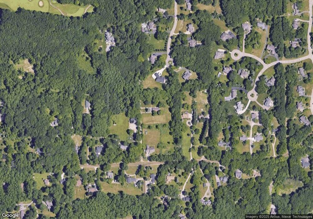
8250 Foster Rd Clarkston, MI 48346
Estimated Value: $247,000 - $336,667
2
Beds
1
Bath
816
Sq Ft
$368/Sq Ft
Est. Value
About This Home
This home is located at 8250 Foster Rd, Clarkston, MI 48346 and is currently estimated at $300,167, approximately $367 per square foot. 8250 Foster Rd is a home located in Oakland County with nearby schools including Andersonville Elementary School and Springfield Christian Academy.
Ownership History
Date
Name
Owned For
Owner Type
Purchase Details
Closed on
May 16, 2019
Sold by
Burns Charles and Burns Diane B
Bought by
Burns Diane B and Diane B Burns Living Trust
Current Estimated Value
Purchase Details
Closed on
Mar 2, 2017
Sold by
West Side Llc
Bought by
Burns Charles
Purchase Details
Closed on
Jun 16, 2010
Sold by
Mortgage Electronic Registration Systems
Bought by
Us Bank National Association
Purchase Details
Closed on
May 25, 2010
Sold by
Brimacombe Jamie T and Brimacombe Tammy
Bought by
Mortgage Electronic Registration Systems
Purchase Details
Closed on
Apr 12, 1999
Sold by
Cook Carla M
Bought by
Farkas Laverne C
Create a Home Valuation Report for This Property
The Home Valuation Report is an in-depth analysis detailing your home's value as well as a comparison with similar homes in the area
Home Values in the Area
Average Home Value in this Area
Purchase History
| Date | Buyer | Sale Price | Title Company |
|---|---|---|---|
| Burns Diane B | -- | None Available | |
| Burns Charles | $172,000 | Bankers Title Settlement Ser | |
| Us Bank National Association | -- | None Available | |
| Mortgage Electronic Registration Systems | $65,000 | None Available | |
| Farkas Laverne C | $166,000 | -- |
Source: Public Records
Tax History Compared to Growth
Tax History
| Year | Tax Paid | Tax Assessment Tax Assessment Total Assessment is a certain percentage of the fair market value that is determined by local assessors to be the total taxable value of land and additions on the property. | Land | Improvement |
|---|---|---|---|---|
| 2024 | $4,855 | $120,850 | $0 | $0 |
| 2023 | $4,809 | $112,090 | $0 | $0 |
| 2022 | $4,624 | $105,440 | $0 | $0 |
| 2021 | $4,333 | $99,780 | $0 | $0 |
| 2020 | $3,547 | $89,200 | $0 | $0 |
| 2018 | $4,239 | $87,200 | $29,900 | $57,300 |
| 2015 | -- | $74,300 | $0 | $0 |
| 2014 | -- | $62,800 | $0 | $0 |
| 2011 | -- | $58,400 | $0 | $0 |
Source: Public Records
Map
Nearby Homes
- 7950 Clement Rd
- 7513 Maple Ridge Dr
- 7541 Maple Ridge Dr
- 7285 Rabbit Ears Pass
- 7651 Maple Ridge Ct Unit 28
- 7118 Oak Ridge Ct
- 7509 Maple Ridge Dr
- The Franklin II Plan at Park Ridge at Stonewood
- 6947 Stonewood Place Unit 12
- 7500 Dixie Hwy
- 6944 Stonewood Place Unit 36
- 6705 College Park
- 7314 Village Park Dr Unit 47
- 7756 Phelan Dr
- 9254 Semindale
- 9144 Big Lake Rd
- V/L Dixie Hwy
- 8808 Big Lake Rd
- 5690 White Lake Rd
- 9457 Dixie Hwy
- 6083 Englewood Dr
- 8230 Foster Rd
- 8240 Foster Rd
- 6076 Englewood Dr
- 6115 Englewood Dr Unit 6
- 8200 Foster Rd
- 8282 Foster Rd
- 8306 Foster Rd
- 8328 Foster Rd
- 8261 Foster Rd
- 8241 Foster Rd
- 8044 Windstone Ct
- 8056 Windstone Ct
- 6140 Englewood Dr
- 8180 Foster Rd
- 8283 Foster Rd
- 6235 Windstone Cir
- 6251 Windstone Cir
- 6179 Englewood Dr
- 8301 Foster Rd
